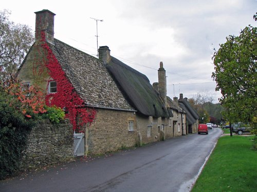
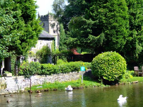
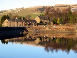
A pretty village with a delightful cluster of cottages and houses with lovely gardens, bordered by woods at the south end of the picturesque Rudyard Reservoir...
This barely spoilt town offers an exciting opportunity to enjoy a town crammed with beautiful buildings whilst exploring the high upland regions of England's glorious Peak District National Park...

A small Market town in Cheshire..
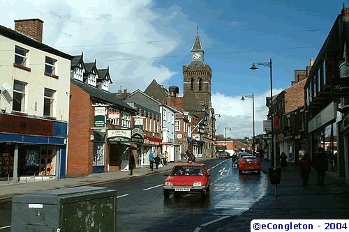
This lively market town stands on a bend of the River Dane, it quite possibly takes its name from the Celtic word "congle" which in English means "a bend"...
Hartington is a small village centred around a medieval market place, with attractive 18th and 19th century buildings...
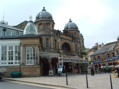
An attractive small town in the High Peak district of Derbyshire...
Chapel is a well preserved, picturesque place. It has a lovely old church dating back to the 14th-century which stands on the spot of an earlier church built by foresters a century or so before...
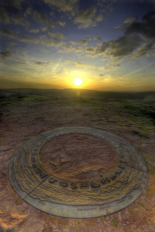
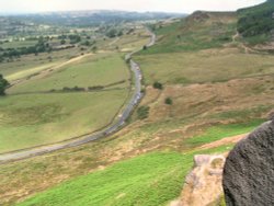
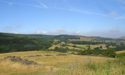
The sheer scale of the height of this village with the quaint sounding name has made it famous, for it is believed that on a clear day the hill is visible to no less than five counties...
Norton-in-the-Moors is exactly what its name implies - it is an old village set on the side of a windswept hill with far reaching views over rolling countryside towards the Peak District...
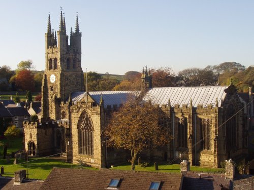
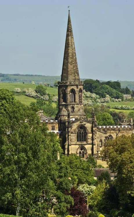
Tideswell is famous for its superb, large church, known as the "Cathedral of the Peak"...
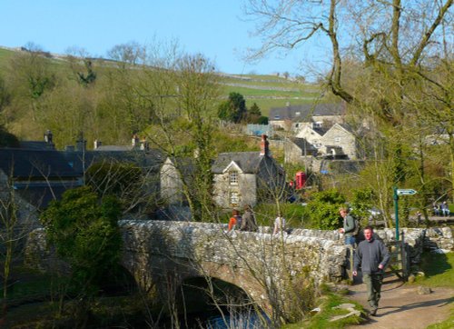
Milldale is a glorious stone village lying in scenic countryside towards the southern fringes of the Peak District National Park...
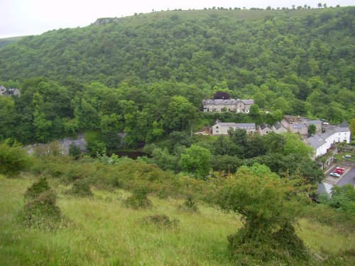
Set amidst the dramatic scenery of the glorious Peak District National Park, Cressbrook offers visitors breathtaking views from the road winding through this deep river valley. .....
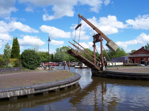
Attractively situated on the banks of the Caldon Canal in the beautiful Churnet Valley. Froghall offers visitors the opportunity to experience a diverse range of landscapes including fine watermeadows with a wealth of wildlife...
Alderley Edge is a popular tourist spot in the county of Cheshire, consisting of a prominent 'edge' or sandstone ridge which is popular with walkers and offers stunning views. You.....
The village was a centre for candle making, noted for lead mining and made famous by the discovery of Ashford marble which was first quarried by Henry Watson in 1748...
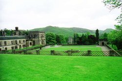
A pretty and popular village which includes a wonderful park which is part of Ilam Hall. Enjoy wonderful walks through the park and the lovely river Manifold. The village is set.....
Set in an area where Cotton was once king, midst the towns of Manchester and the quiet rolling acres of sprawling Cheshire countryside, lies the little town of Bramhall whose most famous feature is Bramall Hall...
Town known best as "the potteries" but in reality Stoke-on-Trent is a 1906 amalgamation of six towns, each of which still maintain their own individuality and character...
Bakewell is the largest town in the Peak District National Park. It is an old town full of glowing stone houses and buildings that lend an air of ambience and overall warmth...
Marple has many splendid canal features from the past, these include a flight of 16 locks and a three arched aqueduct which takes the Peak Forest canal over the River Goyt...
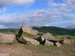
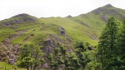
The spectacular Roaches are situated at the end of the Pennine Way, these together with oddly named Hen Cloud contrive between.....
Dating form the 18th Century and standing in beautiful surroundings, on the edge of Macclesfield Forest Reservoir, this stone.....
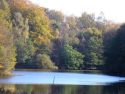
Goyt's Moss lies in the wild and beautiful Goyt Valley, its steep slopes sweep down into the tranquil waters of the Fernlee.....
Tegg's Nose Country Park comprises mainly of wild untamed countryside high above Macclesfield. It offers nature lovers many.....
..
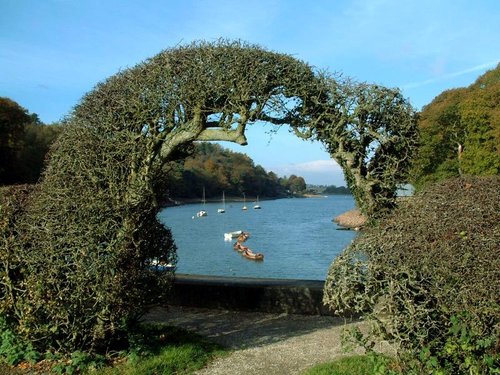
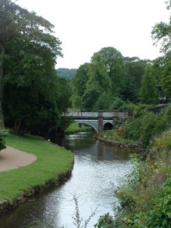
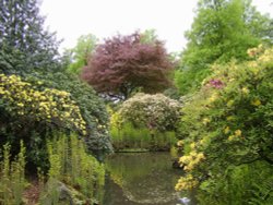
This remarkable garden surrounds a grand house with a history of fluctuating fortunes. The gardens were originally the creation.....
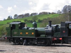
The Churnet Valley Railway is a preserved standard gauge heritage railway to the east of Stoke-on-Trent in Staffordshire,.....
..
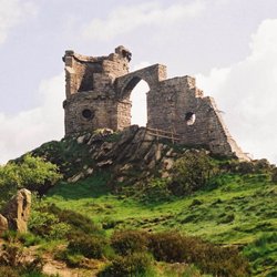
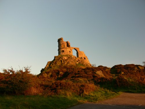
Mow Cop Castle is a Grade 2 listed building and dates back to 1754 when Randle Wilbraham of nearby Rode Hall built it as a.....
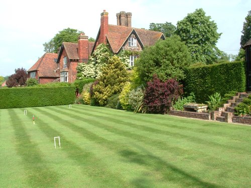
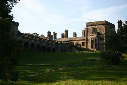
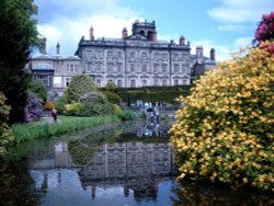
Set amidst the grandeur of the high Peaks amongst softly rolling countryside of undisputed splendour is the magnificent house.....
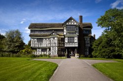
Little Moreton Hall is without doubt the finest example of timber-framed architecture in England. The building overflows with.....
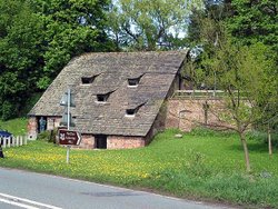
A fascinating and unusual watermill dating from the 15th century..
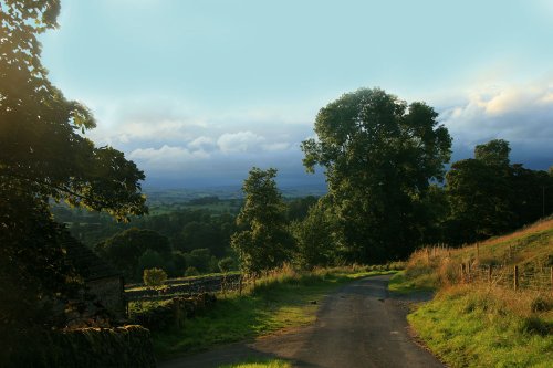
This is one of the Peak Districts hidden gems, not only is the scenery highly picturesque but the region is full of interesting.....
The River Dove flows through one of England's loveliest valleys. Though little more than a mile long, Dove Dale shows a variety.....
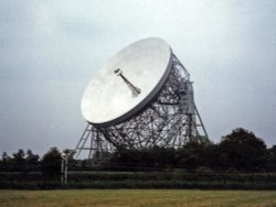
For over 40 years the giant Lovell Telescope at Jodrell Bank has been a familiar feature of the Cheshire landscape and an.....
Running along both banks of the river Manifold, this is an area of beautiful open park and woodland with spectacular views.....
..
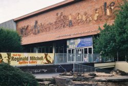
This is the foremost museum for fine porcelain produced over several centuries in the famous potteries of Staffordshire. Here,.....
..
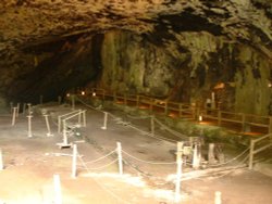
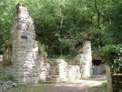
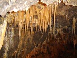
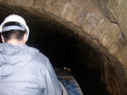
Peak Cavern is one of the finest of the many underground caverns of this area. It lies beneath Peveril Castle at the centre of.....