Please login or click here to join.
Forgot Password? Click Here to reset pasword
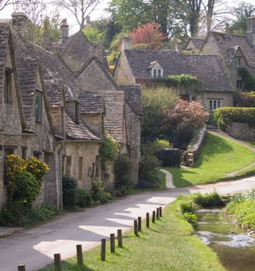
William Morris, the 19th-century artist and poet thought Bibury to be the most beautiful village in England...
The village of Bisley is all charm. It has an excellent collection of very fine buildings as well as some interesting local folklore...
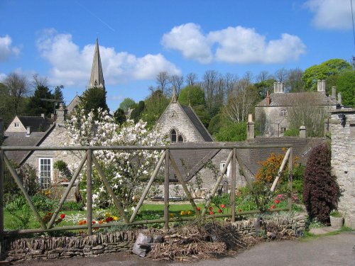
This village in the fertile Coln Valley has the prestige of being one of the 10 most desirable villages in England...
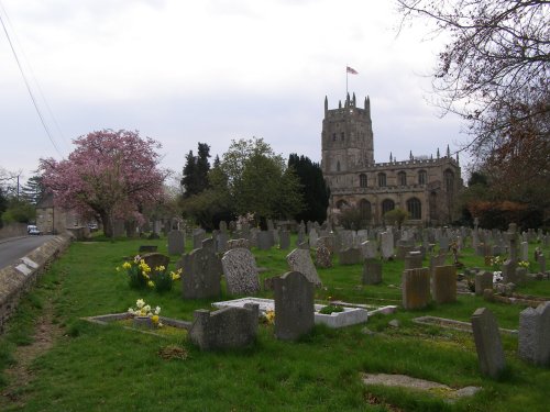
Fairford was granted a market charter in the year 1135 but it is believed that village has its origins way back in the Bronze Age. Its beautiful church is world famous for having the most complete set of Medieval stained glass windows of any parish church in the United Kingdom..
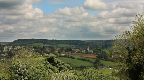
The streets of Painswick are narrow and crammed with fine examples of glowing honey coloured stone buildings from all periods..
..
William Stumpe, the wealthy merchant responsible for giving Malmesbury Abbey back to the town following the Dissolution was also.....
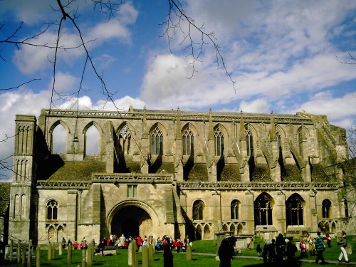
Malmesbury Abbey is built on the site of a former Saxon monastery of AD700, by the 12th-century it was an important Benedictine.....
Painswick is a beautiful Cotswold village of mellow golden stone. It is renowned not simply for its Cotswold beauty, but also.....
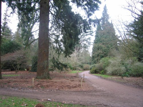
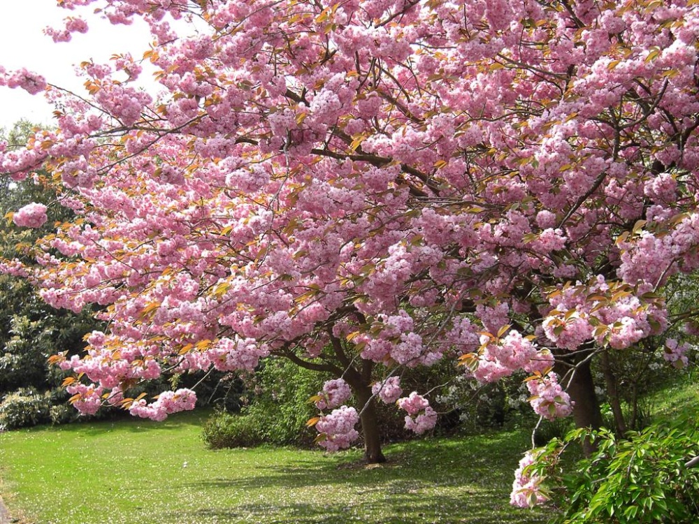
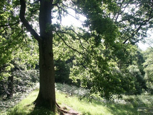
A magnificent arboretum which is a joy to visit at any time of year. It is run by the Forestry Commission and has a dazzling.....

..
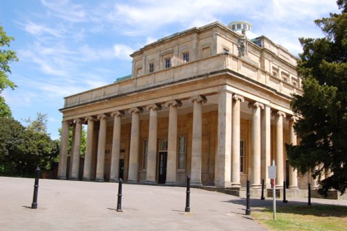
Pittville Pump Room is just one of the many rare gems left over from Cheltenham's hey-day - its Regency period. It was built for.....
Follow PicturesOfEngland.com on social media and help share the beauty of England....