Please login or click here to join.
Forgot Password? Click Here to reset pasword
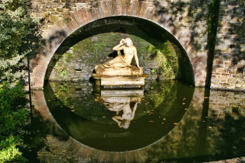
..
Shrewsbury is a wonderfully atmospheric town which beguiles the visitor with sights of bygone centuries and much a great charm is to be found in its narrow streets and medieval buildings...
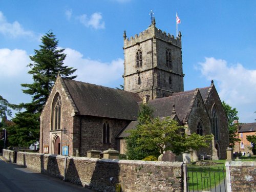
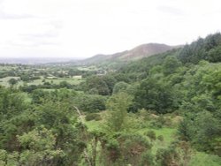
Church Stretton is an historic market town in the South Shropshire hills, and the only town in the Shropshire hills Area of Outstanding Natural Beauty - one of Britain's fiinest.....
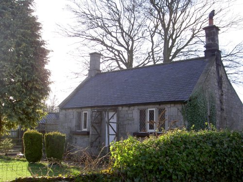
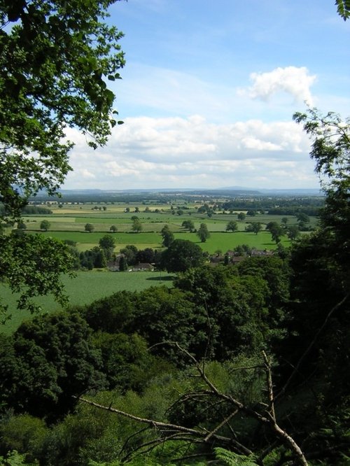
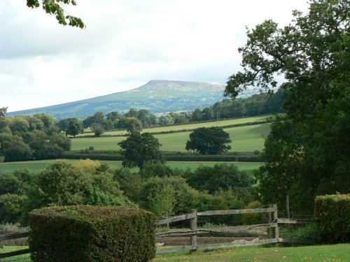
Little Stretton lies in a charming rural area a short distance from the old town of Church Stretton...
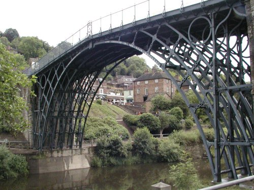
This town is named for the famous bridge that spans the River Severn - the world's first Iron Bridge....
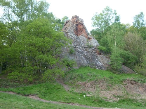
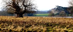
The picturesque village of Grinshill is spread beneath Grinshill Hill, an isolated rocky outcrop which rises above the plains of the Severn Valley...
The village of Stokesay lies amid the soft rolling fields and wooded valley's of shropshire...
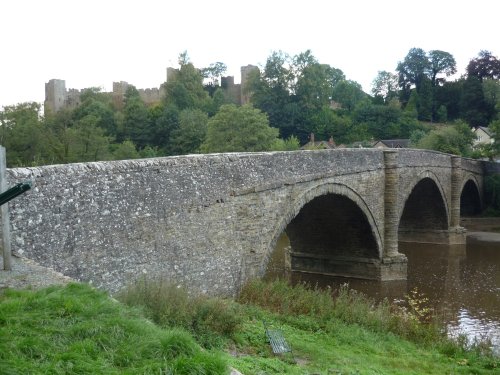
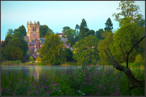
Nestling on the banks of the rivers Corve and Theme Ludlow is a joyous town to visit at any time of year...
Claverley is surrounded by agricultural land, a short distance from delightful Bridgenorth, a picturesque town on the banks of the River Severn...
Overton lies on a bend of the River Test a short distance from Ludlow...
Rising at the side of the River Clun from which the town takes its name, this charming little place offers much of interest...
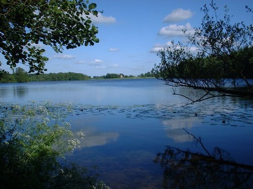
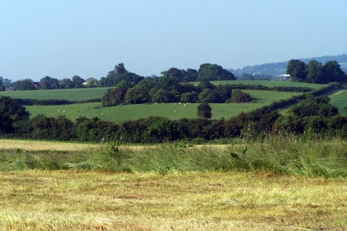
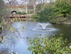
Clolemere is a countryside heritage site with miles of waymarked walks circling over 70 acres of water, woodland and sweet scented meadows...
The journey from the centre of Worcester to exquisite Tenbury Wells takes you through some of the loveliest countryside in the whole of Worcestershire...
Market Drayton is famous as the home of Gingerbread, and as the birthplace of Robert Clive - Clive of India, he was educated at the Grammar School, founded in 1558, and his desk bearing his carved initials is still preserved...
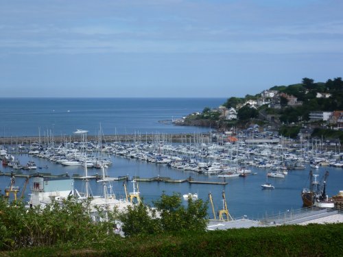
Ellesmere, has a lovely 'holiday' atmosphere which gives it an 'away from it all' feel...
The graceful arches of the bridge designed by Thomas Telford (1757-1854) are a dominant feature of this lovely old town which nestles on the banks of the River Severn...
Wolverley is a charming village at the heart of rural Worcestershire. It was mentioned in the Doomsday Book of 1086, but it is believed a settlement was there long before that...
This town was once the carpet capital of England, with carpets from its mills transported to all parts of the world...
The village of Cutnall Green lies amidst the rich agricultural landscape of Worcestershire, a short distance away from the old spa town of Droitwich...
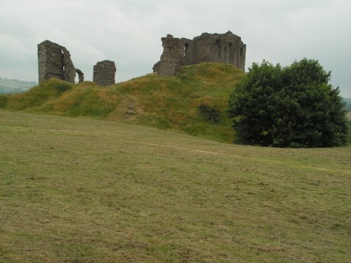
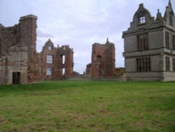
Although crenulated, the spectacular red sandstone ruins of Acton Burnell speak more of a grandiose place of comfort rather than.....
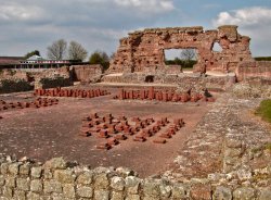
Wroxeter Roman City lies about 5 miles south-east of Shrewsbury, here lies the remains of what was the fourth largest town in.....
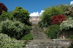
An elegant 18th century mansion with regancy interiors and deer park, Attingham Park is of the great houses of the.....
..
The site of Shrewsbury Abbey is an ancient one, quite possibly dating back to Saxon times when a wooden church would have stood.....
..

..
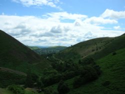
The bleak, heather clad Long Mynd lies to the west Of Church Stretton. It is a long lonely stretch covering some 10 miles in.....
..
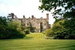
This is a beautiful stone-built house of the 16th-century which is set on a rise above the wooded slopes of the meandering River.....
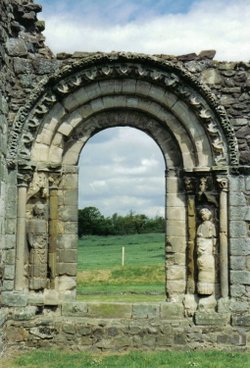
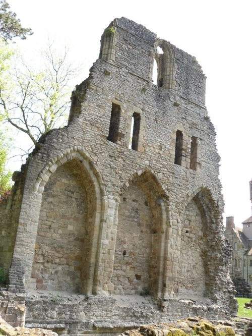
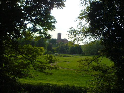
These magnificent remains of an Augustinian Abbey founded by William Fitzalan in about 1135, occupy a beautiful setting in the.....
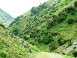
The Long Mynd (meaning "Long Mountain") is a 7 mile long heath and moorland plateau that forms part of the Shropshire hills and.....
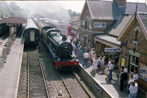
Blists Hill VICTORIAN TOWN is one of the largest Open Air Museums in Britain. A small Victorian town has been created above 30.....
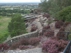
The Stiperstones lie amongst the magnificent hill scenery of Shropshire and at 1,762 feet are the second highest range in the.....
..
..
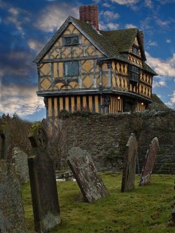
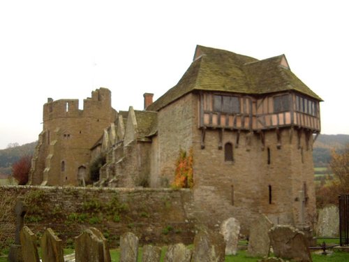
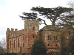
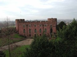
This extremely attractive building is not a castle in the traditional sense, but rather a fortified manor house and as such is.....

..
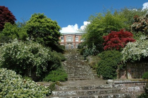
Picturesque Hodnet Hall stands on the bank of a small valley, it is a handsome red-brick mansion designed in the 19th-century by.....
..
Follow PicturesOfEngland.com on social media and help share the beauty of England....