Please login or click here to join.
Forgot Password? Click Here to reset pasword
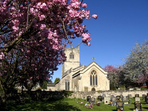
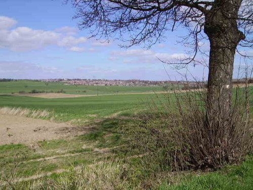
Thrybergh is a pretty South Yorkshire village with a history stretching back to the time of the Doomsday Book, for centuries it was little more than a small rural village with scattered housing and farms...
Sprotbrough lies in the valley of the River Don, it is a lovely rural location with fertile fields and meadows leading from leafy lanes whose hedgerows are full of wild plants and flowers...
Braithwell lies at the centre of a largely rural community, the surrounding landscape is mostly of farms and leafy lanes siding fields full of grazing cattle and sheep...
This town was formerly a Saxon market town which remained largely unaltered until the Industrial Revolution...
This is a pleasant South Yorkshire village lying in lush countryside a few miles from the city of Rotherham...
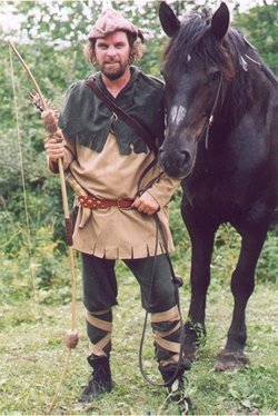
The town was mentioned in the Doomsday Book, and several historic properties can be found in the region from shortly after this time, of these, of particular note are the handsome ruins of Roche Abbey, a Cistercian foundation of 1147...
Whiston is surrounded by fine countryside, leafy lanes lead towards Morthen and Wickersley...
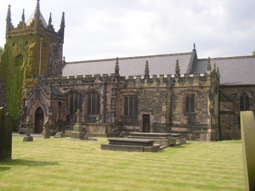
This picturesque South Yorkshire village was mentioned in the Doomsday Book, but there is considerable evidence that it existed as a settlement long before 1086...
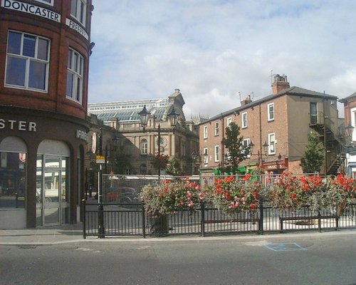
Doncaster lies in what was once a great sweep of Yorkshire coalfields. It is home to one of the finest racecourses in the country where the classic St.Leger Stakes has been run each September since 1776, making the race four years older than the Derby...
Once a mining hamlet, Laughton-en-le-Morthen is now thriving village with stylish housing expanding out from its medieval centre...
This is a pleasant, somewhat sprawling village lying in rural countryside a short distance from the market town of Maltby..
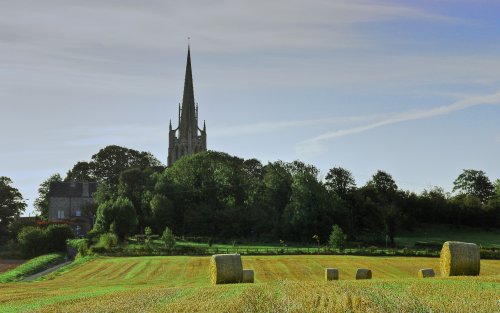
This is an attractive town laid out along the River Dearne, it is enclosed by spectacular Pennine scenery and is an ideal place from which to discover the limestone hills and fresh green valley's of the Yorkshire Dales...
..
Featherstone is a large town lying between Wakefield and Pontefract in West Yorkshire. For the past couple of centuries the town was known chiefly for its coal mines...
Pontefract has a ruined castle which has seen many tragedies, Richard II was murdered there in 1400, and later it was the scene of bitter, bloody battles between Roundheads and Royalists...
The dense spread of Worksop in Nottinghamshire meets with some seriously picturesque countryside, it is fortunate to be ringed by two rivers, the Clumber which borders Clumber Country Park, and the River Ryton...
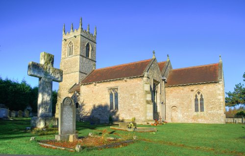
This is a typical Yorkshire village settled close to the meeting point of North and South Yorkshire...

Wakefield was the capital of Yorkshire's woollen industry for more than 700 years, it was an important weaving and dying centre as far back as the 13th century...
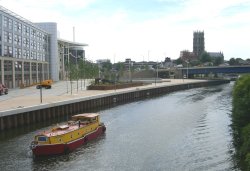
This is a large Northern town with roots stretching back to the Romans and beyond, as proven by the recent finding of a Bronze Age male skeleton and his chariot...
This charming hill-top village lies in spacious countryside close to the Chesterfield Canal. It shows an abundance of picturesque red-brick properties including out lying farms with ancient barns and dovecotes...
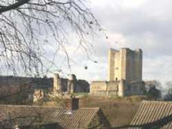
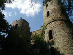
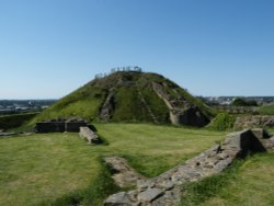
The dilapidated ruins of Conisbrough Castle make an impressive sight, particularly its keep, which is unusual in design. The.....
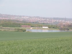
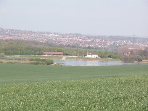
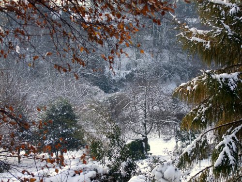
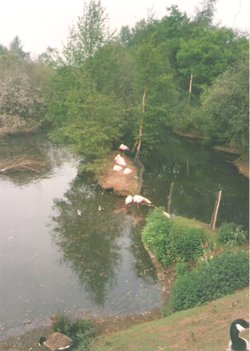
Thrybergh Country Park evolved out of Thrybergh Reservoir built in the 1800's to supply the borough of Doncaster with water. .....
..
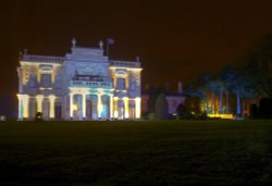
Cusworth Hall is a mid 18th century house built for the Wrightson family, with wings added later by James Paine. The house.....
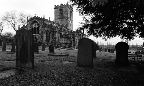
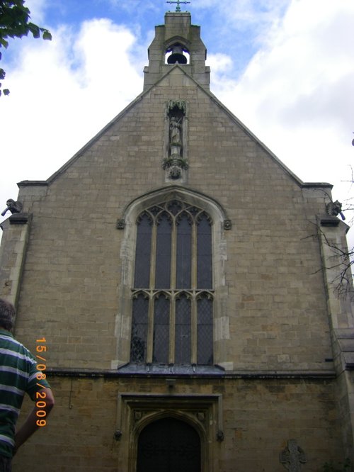
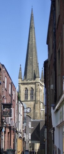
St.Georges is the Minster Church of Doncaster. It was built to a design by Sir Gilbert Scott, architect, who was instructed to.....
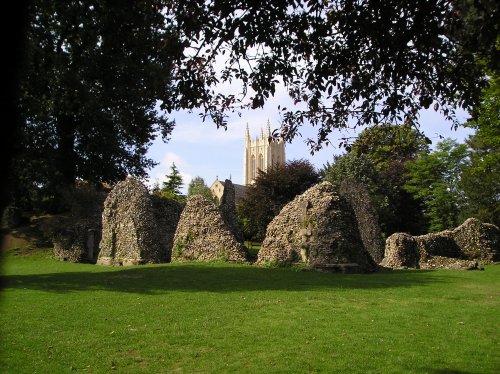
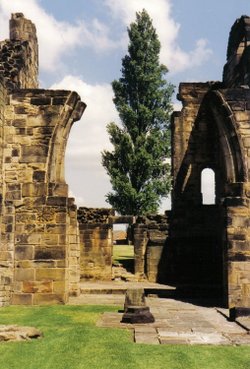
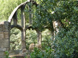
The evocative remains of Roche Abbey rising from a landscape laid out by Capability Brown present an awe-inspiring sight,.....
..
Wentworth Castle Gardens have been the subject of an ambitious plan to restore the magnificent estate, once home to the Earls of.....
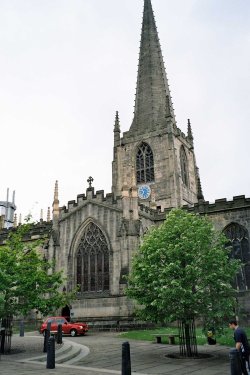
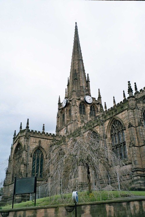
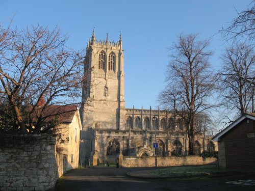
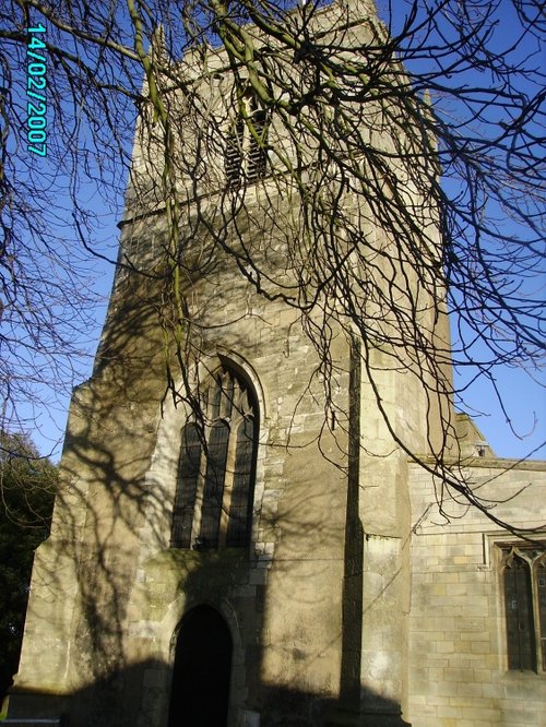
This cathedral dates mostly from the 15th century, it was the former parish church of St.Peter and St.Paul, its tower and.....
..
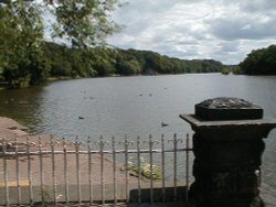
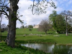
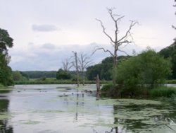
This attractive country park offers a rich and varied country landscape, it is dominated by a large lake ringed by numerous trees.....
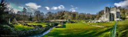
Outstanding country park originally landscaped in the 1760's by Richard Woods. The park surrounds a magnificent hall designed by.....
..
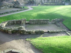
The crumbling, naked ruins of Sandal Castle are now owned by Wakefield council, and what an inspired choice of centre-piece they.....
This is an exciting, fascinating tourist attraction that is both fun and thought provoking for all the family. It has fast.....
..
This was formerly the parish church of All Saints, it only became a cathedral at the end of the 19th century. With its.....
..
The peaceful landscape of this delightful country park gives visitors lovely summer memories of time spent ambling around.....
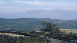
Stanage Edge is an elevated gritstone edge or enscarpment that stretches for around 4 miles giving extensive views across the.....
Follow PicturesOfEngland.com on social media and help share the beauty of England....