 |
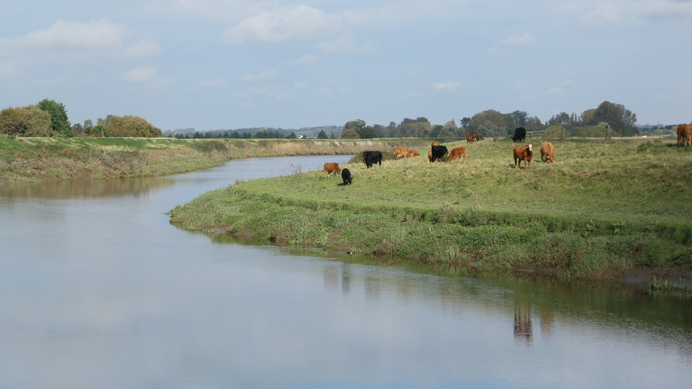
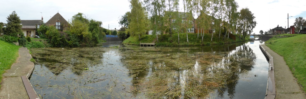
Salter's Lode, near Downham Market, Middle Level Navigations The River Great Ouse. View from Salter's Lode, near Downham Market. This picture appears in the following picture tours: Camera Make: Canon� Model: Canon EOS 70D� |
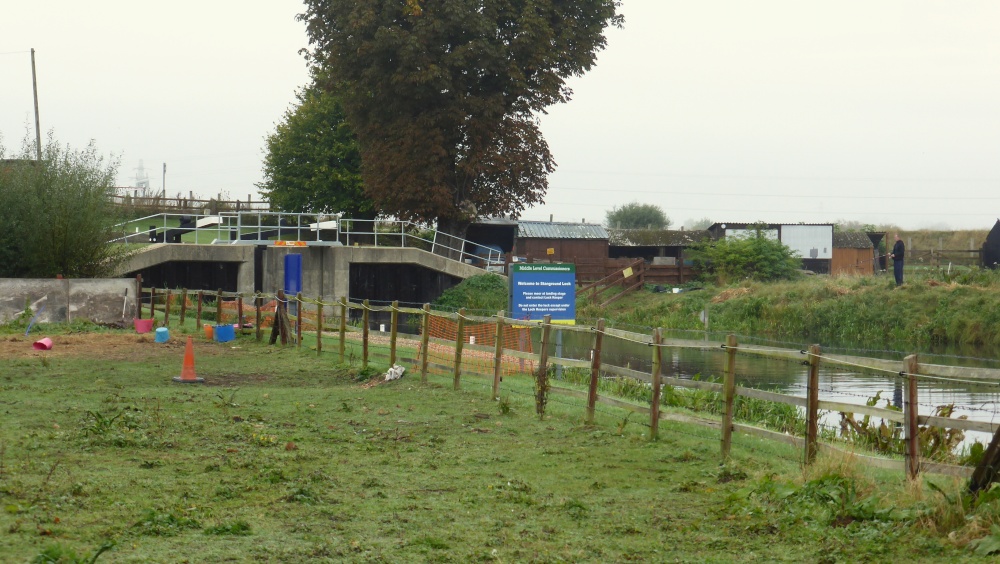 |
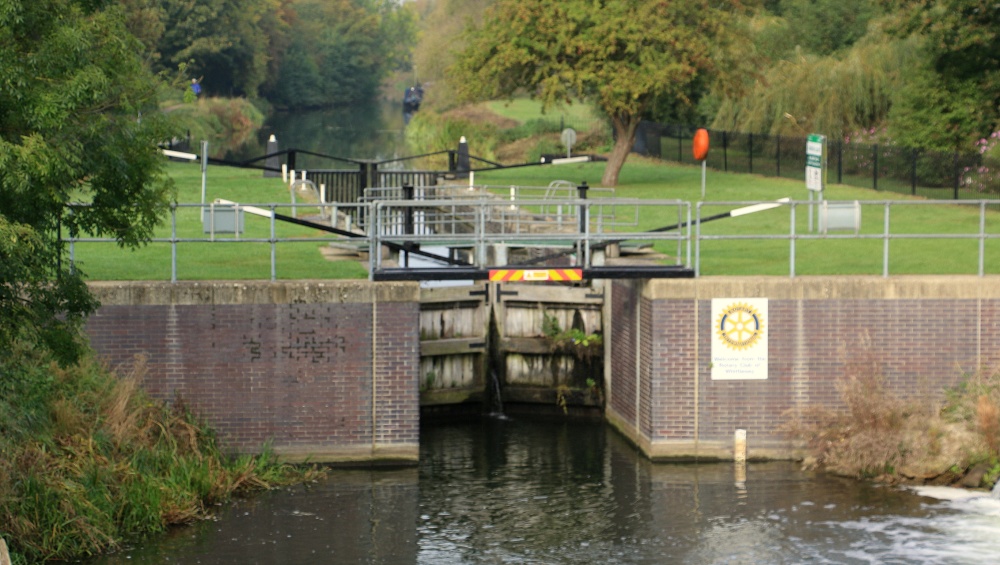
Stanground Lock, Peterborough, Middle Level Navigations Where the Middle Level Navigations start from a Peterborian's point of view. This picture appears in the following picture tours: Camera Make: Panasonic� Model: DMC-TZ40� |
 |
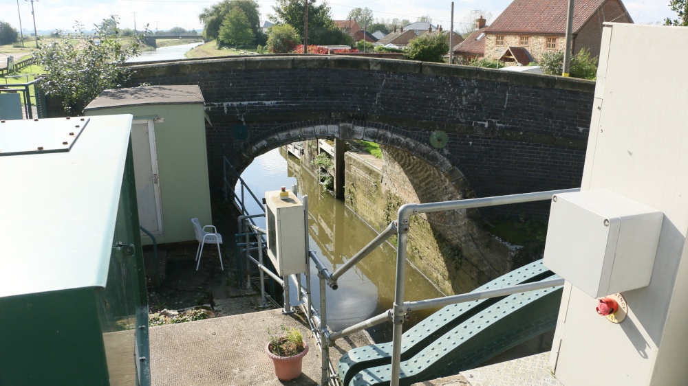
Salter's Lode, near Downham Market, Middle Level Navigations Salter's Lode, where the connection from the River Nene starting at Peterborough meets the River Great Ouse. This picture appears in the following picture tour: Camera Make: Canon� Model: Canon EOS 70D� |
 |
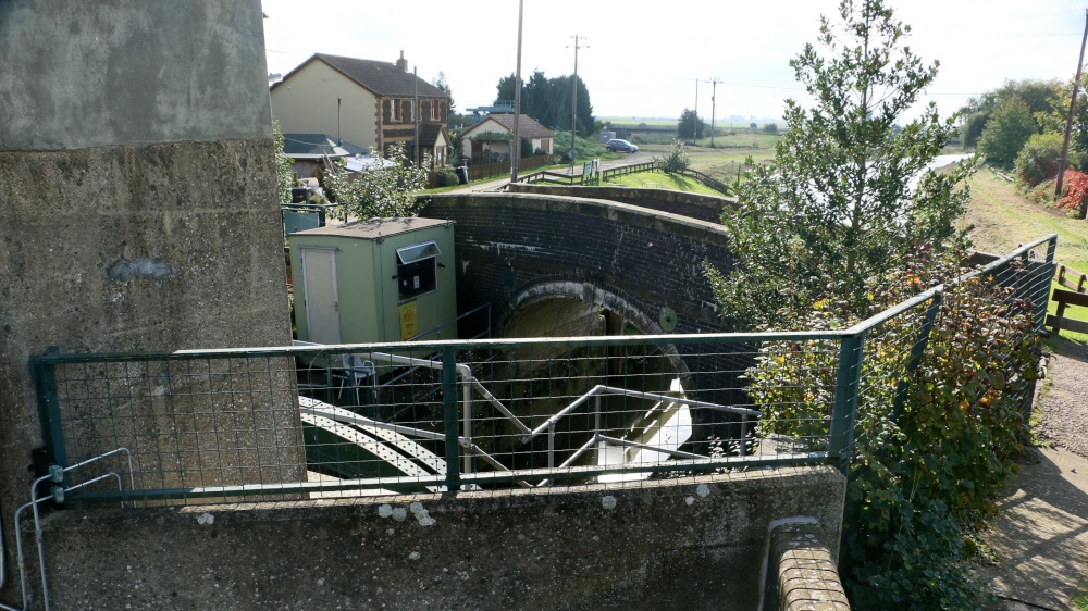
Salter's Lode, near Downham Market, Middle Level Navigations This picture appears in the following picture tour: Camera Make: Canon� Model: Canon EOS 70D� |
 |
Salter's Lode, near Downham Market, Middle Level Navigations This picture appears in the following picture tour: Camera Make: Canon� Model: Canon EOS 70D� |
 |
Nene Old Course joins Well Creek at Outwell, Middle Level Navigations Some say this bend in the waterway at Outwell is where the Old Nene becomes Well Creek. Others argue it is further south. There are many differing opinions about the course of the Old Nene because it has had a number of alternative routes in the past. This picture appears in the following picture tour: |
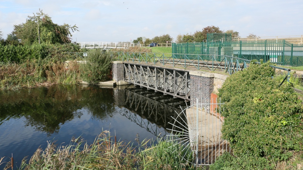 |
Mullicourt Aqueduct, Middle Level Navigations Well Creek crosses Middle Level Main Drain by the Mullicourt Aqueduct about 1 mile south of Outwell. The navigations form a connection for boaters between the River Nene at Peterborough and the River Great Ouse at Salters Lode Lock, near Downham Market. The route passes through Stanground Sluice, along King's Dyke to Ashline Lock, and then along Whittlesey Dike to Flood's Ferry junction. From here the route is along the old course of the River Nene, passing through the twin villages of Upwell and Outwell, where the abandoned Wisbech Canal once formed a route back to the new course of the River Nene. The final stretch to Salters Lode lock is along Well Creek, passing over the top of the Middle Level Main Drain on Mullicourt Aqueduct. This picture appears in the following picture tour: Camera Make: Canon� Model: Canon EOS 70D� |
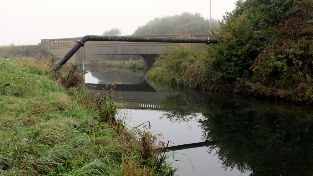 |
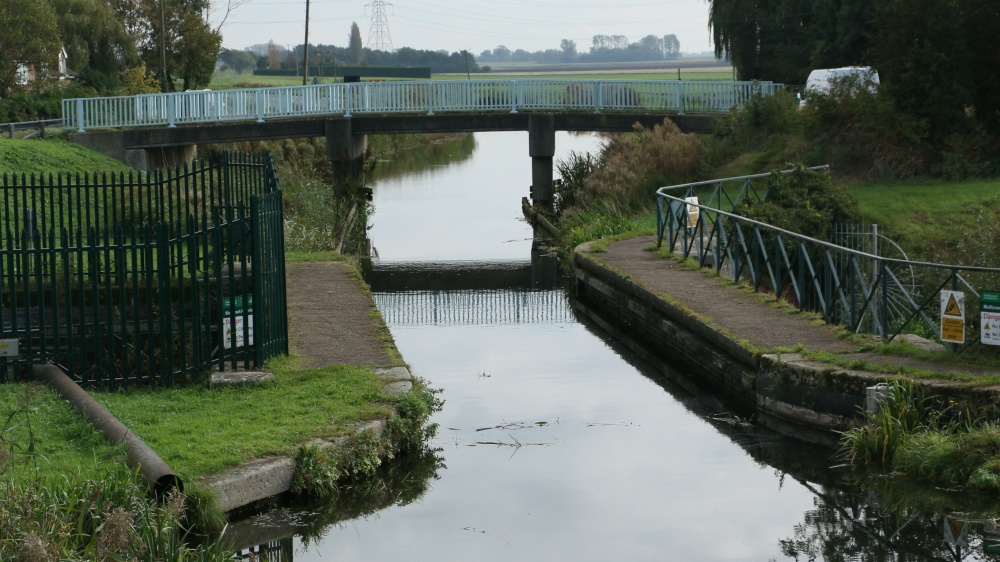
King's Dyke, Whittlesey, Middle Level Navigations King's Dyke flows under the A605 between Stanground and Whittlesey. This picture appears in the following picture tour: Camera Make: Canon� Model: Canon EOS 70D� |
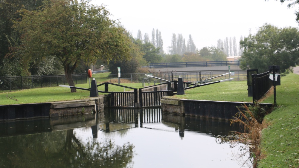 |
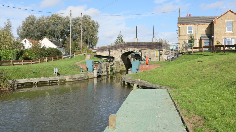
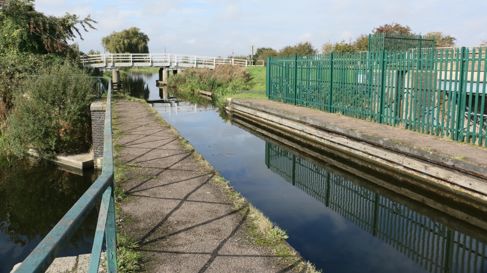
Ashline Lock, Whittlesey, Middle Level Navigations This picture appears in the following picture tour: Camera Make: Canon� Model: Canon EOS 70D� |
 |
Ashline Lock, Whittlesey, Middle Level Navigations The Middle Level Navigations are a network of waterways in England, primarily used for land drainage, which lie in The Fens between the Rivers Nene and Great Ouse, and between the cities of Peterborough and Cambridge. Most of the area through which they run is at or below sea level, and attempts to protect it from inundation have been carried out since 1480. The Middle Level was given its name by the Dutch Engineer Cornelius Vermuyden in 1642, who subsequently constructed several drainage channels to make the area suitable for agriculture. This picture appears in the following picture tour: Camera Make: Canon� Model: Canon EOS 70D� |
Enjoy this site?
Please help us stay online by making a donation today - thank you for your kind support.

Follow PicturesOfEngland.com on social media and help share the beauty of England....