Please login or click here to join.
Forgot Password? Click Here to reset pasword
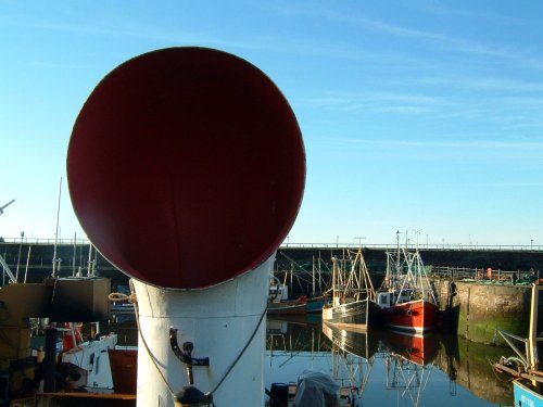
Today, first and foremost Maryport is a splendid resort town on the beautiful Solway coast, it is steeped in the maritime history of two thousand years of sea...
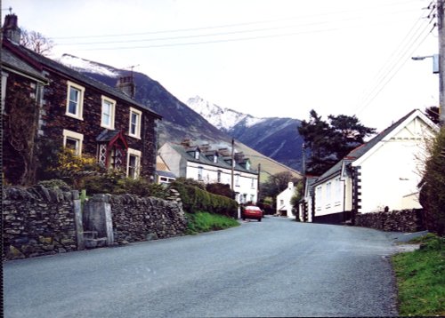
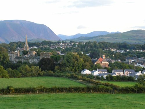
Cockermouth is ideally placed to be used as a centre for touring the Lake District National Park. It has a High Street seemingly unaltered, and is ringed by some of the finest scenery in England...
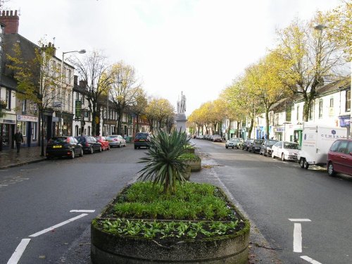
For over 1700 years this town occupied an important position on the Scottish-English border, few town's have experienced such turbulent times, but strangely Carlisle has little.....
This is a magical area of sparking lakes, tumbling waterfalls, high peaks and vast moorland regions...
Keswick is a pretty Market Town that nestles between the spectacular Skiddaw Mountains and the northern end of the serene Derwentwater Lake within the Lake District National Park.....
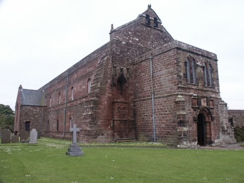
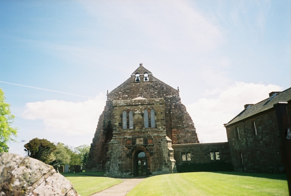
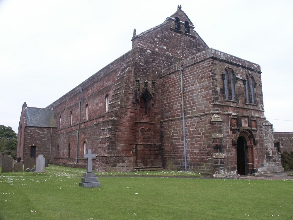
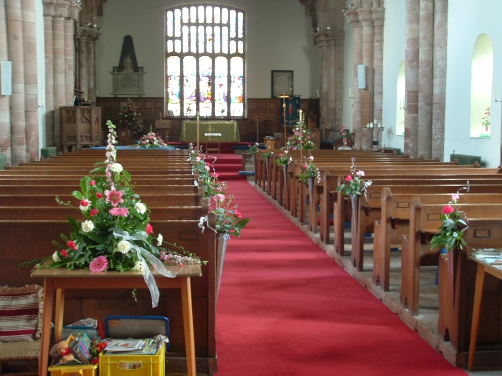
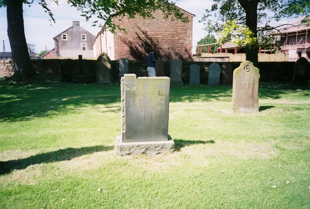
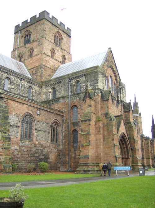
This was a Cistercian foundation of the 12th century of which the nave is now the parish Church of St.Mary, and although the.....
These wonderful ruins of a by-gone age can be discovered in the charming inland resort of Cockermouth, amongst Lakeland's.....
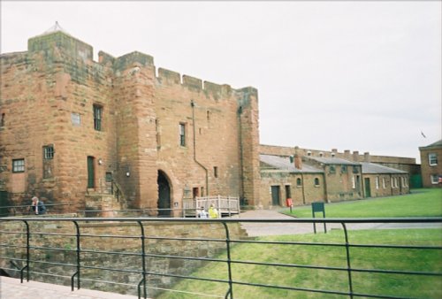
Set in the scenic surroundings on the northern outskirts of Carlisle, the castle built by William Rufus in the late 11th century.....
..
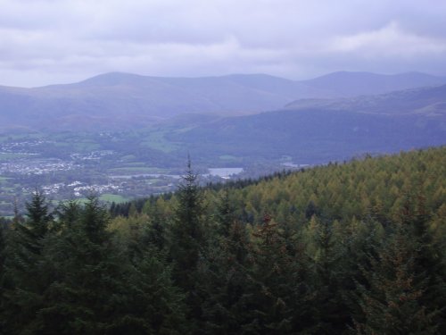
If you happen to visit Keswick in Cumbria do not miss out on Whinlatter Forest Park, for this superb gift of nature is a real.....
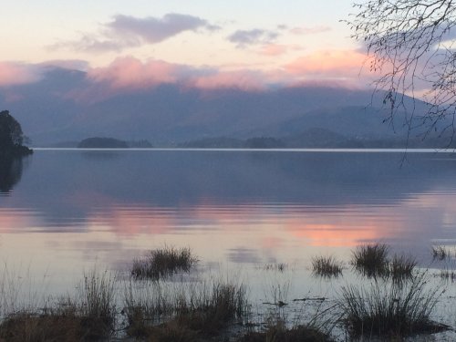
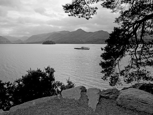
Derwentwater is one of 16 Lakes set within the Lake District National Park in Cumbria. It is one of the most northerly of the.....
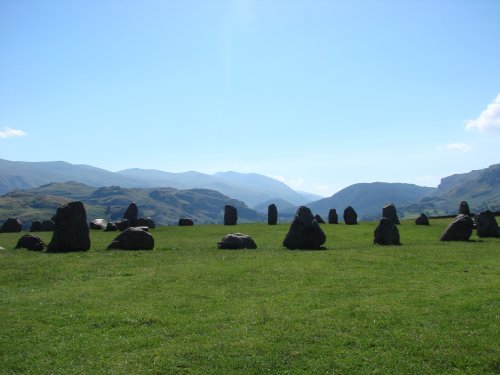
The best time to view Castlerigg Stone Circle is that eyrie time when night is just giving way to dawn. It is then, with a.....
Follow PicturesOfEngland.com on social media and help share the beauty of England....