Please login or click here to join.
Forgot Password? Click Here to reset pasword
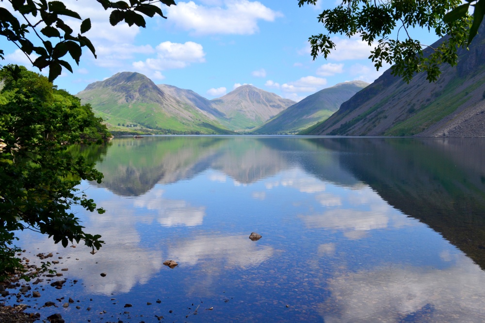
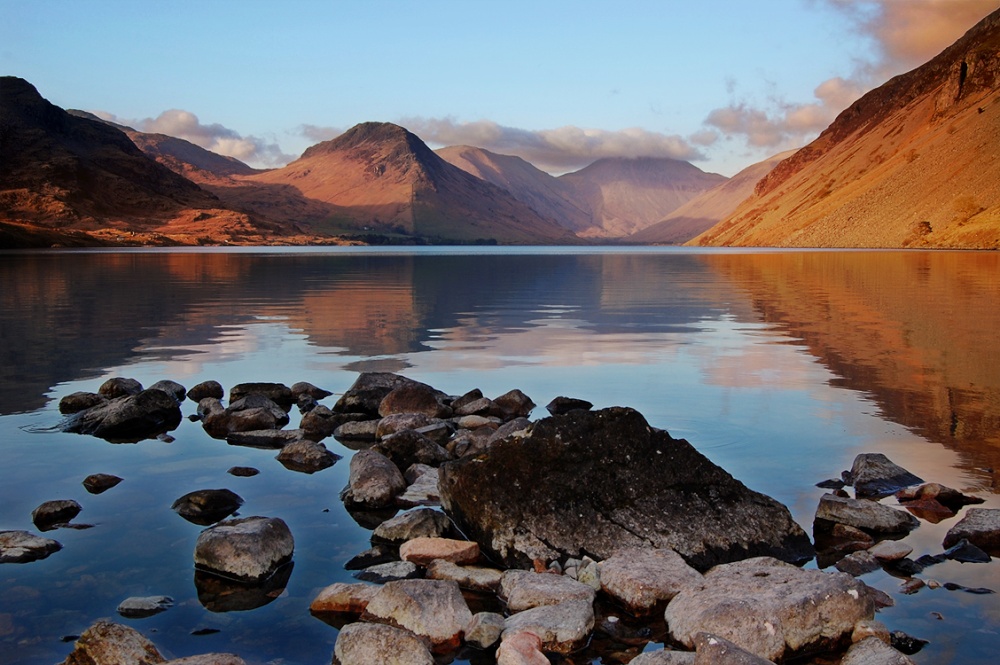
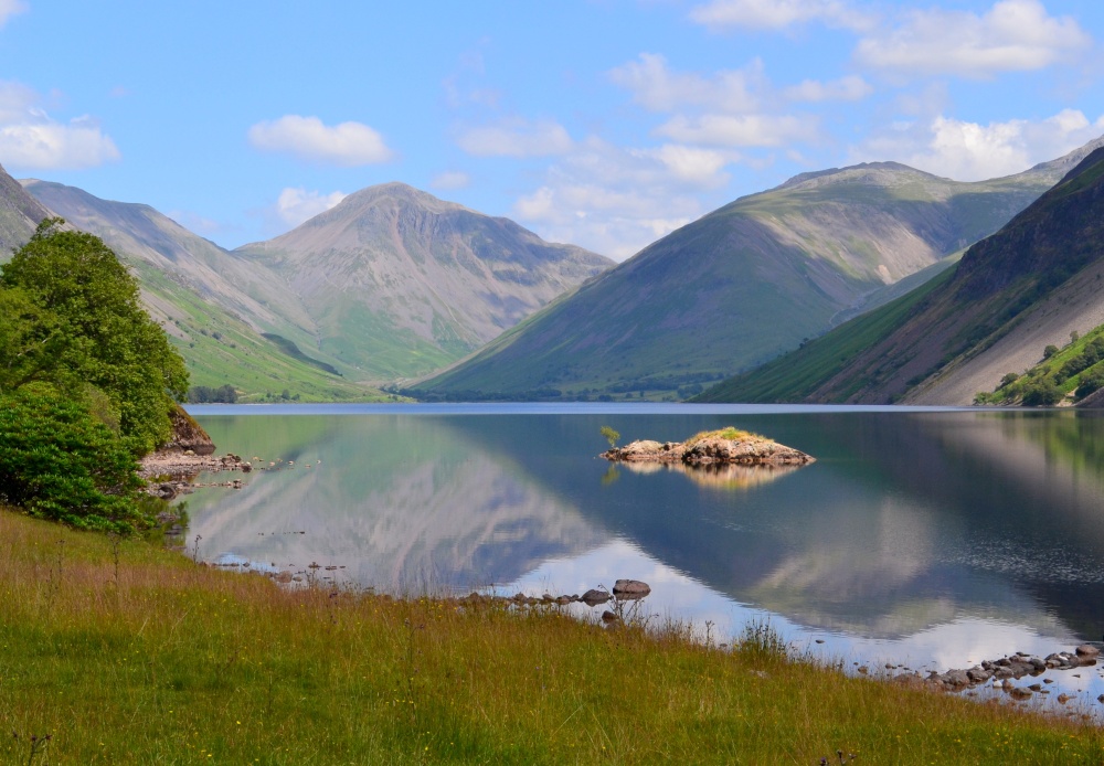
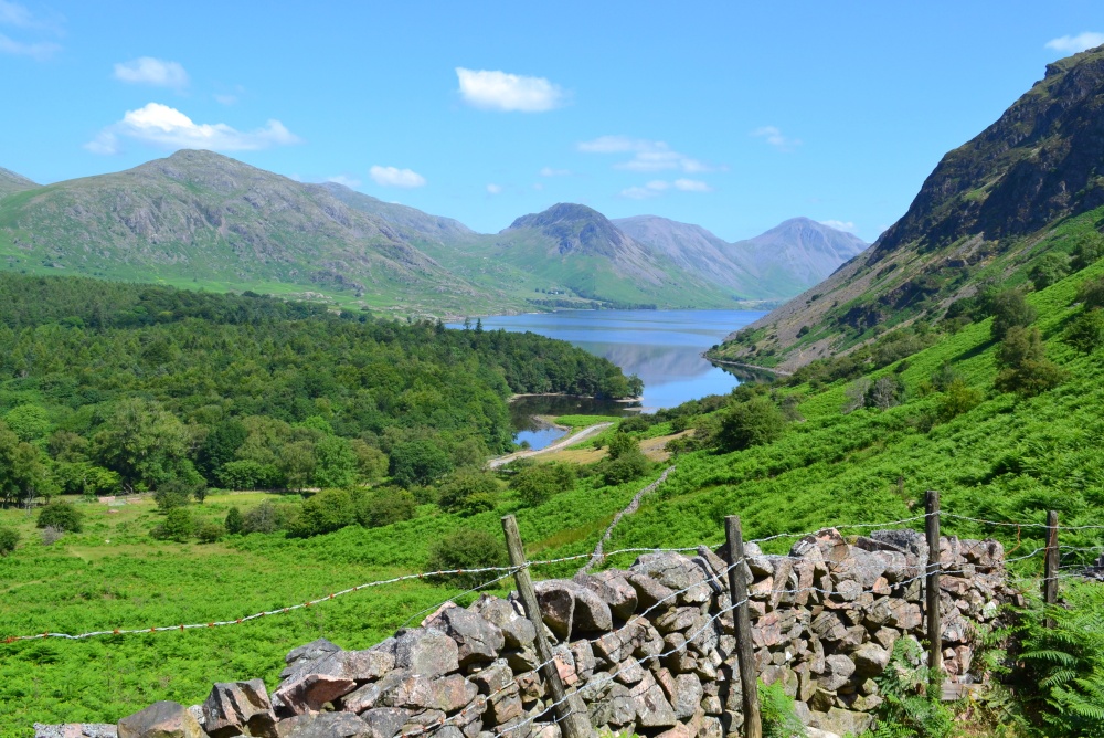
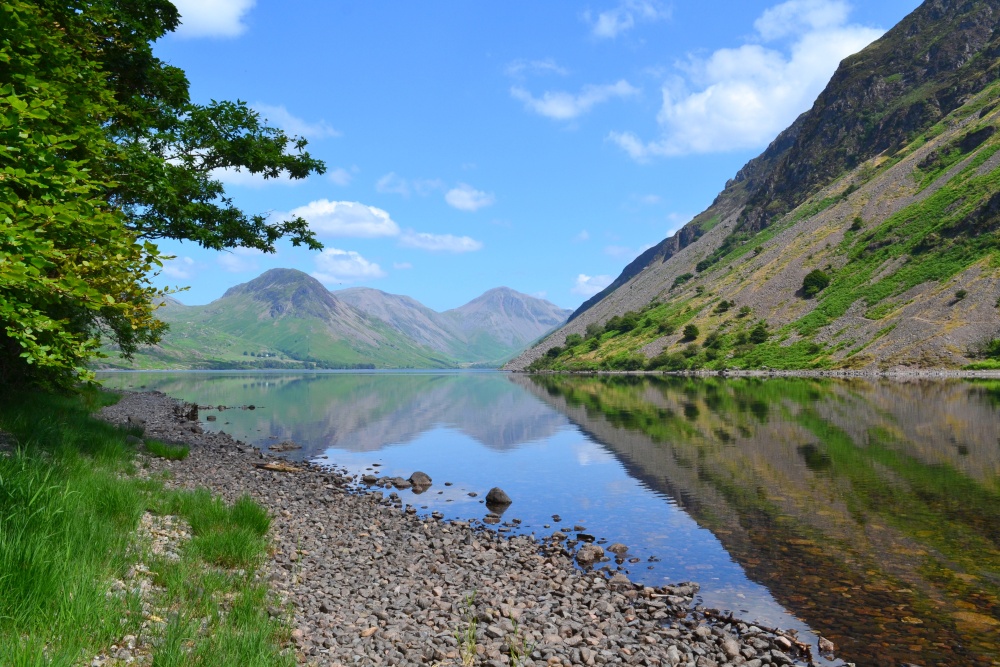
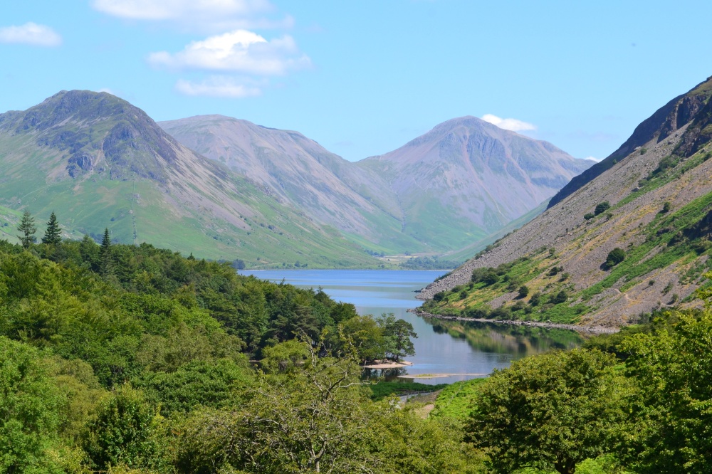
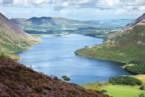
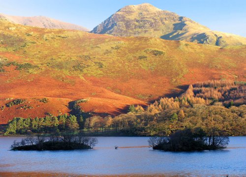
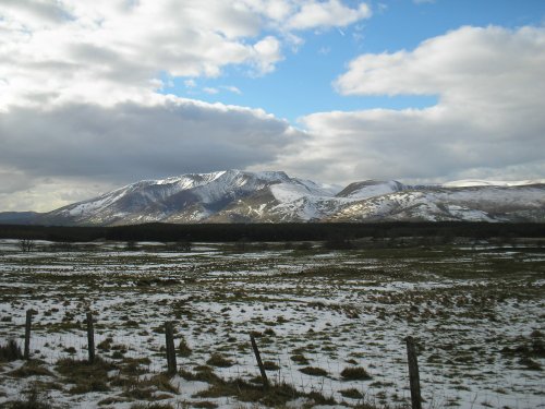
Wast Water is the deepest lake in England at 280 feet deep. The awesome peaks of Sca Fell and Great Gable tower over the wild, lonely Wast Water which lies deep in a valley surrounded by a mixture of trees including Scots Pines, whose leaves and needles make a colourful autumn carpet for walkers.
This is an isolated area of spectacular beauty which has an eyrie enchantment. Wast Water is fed by tributaries from the Black Sail and Sty Head Passes, the lake is drained from its southern regions by the River Irt, which joins with the sea at Ravenglass.
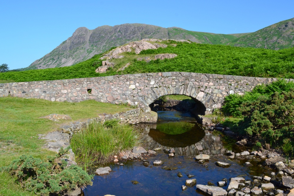
There is a grandeur here which almost defies belief. Wasdale Head to the north of the area is a popular climbing centre. This is famous for a pack-horse bridge, found at the rear of the Wasdale Head Inn, which was much used by the smugglers of the area in times gone by, particularly across the Burnmoor Pass route which is now used by visiting climbers. Wasdale Head is also popular for those wishing to scale Scafell Pike.
The Wasdale Lady in the Lake, Margaret Hogg, was murdered and disposed of in the lake. After 8 years her body was found and it had been amazingly preserved like wax due to the lack of oxygen in the water
a Picturesque Village in the county of Cumbria
(2.5 miles, 4.0 km, direction SW)Nether Wasdale lies opposite Wasdale Head at the western fringe of Wast Water...
in the county of Cumbria
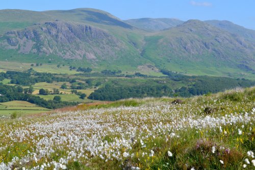
(2.7 miles, 4.4 km, direction NE)Vast, lonely landscape of towering fells, jewel like streams and tarns situated at the head of the Wasdale Valley with the mighty Scafell Pike, England's highest mountain and Great Gable forming an almost uniformity range of mountains in the distance...
a Picturesque Village in the county of Cumbria
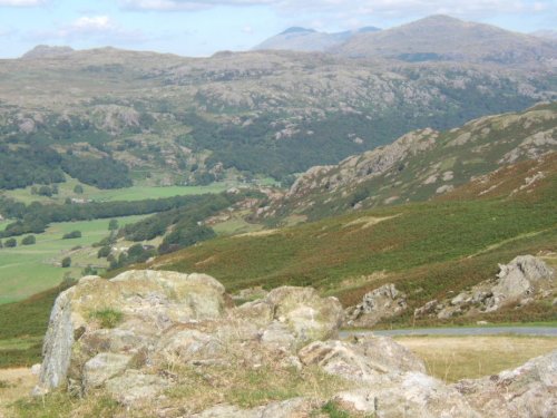
(2.7 miles, 4.4 km, direction S)Boot is one of Lakeland's precious jewels, a charming stone village surrounded by towering scenery which includes two of the regions most scenic waterfalls, the Dalegarth Force and Birker Force...
in the county of Cumbria
(7.1 miles, 11.5 km, direction N)Even when swirling mist rolls in over the stark fells surrounding Buttermere, the little hamlet remains serene in its simplicity and beauty...
a Picturesque Village in the county of Cumbria
(7.1 miles, 11.5 km, direction SE)Scenery does not come much finer than the scenic beauty surrounding the Valley of the River Duddon where you will find the delightful hamlet of Hall Dunnerdale...
All towns in Cumbria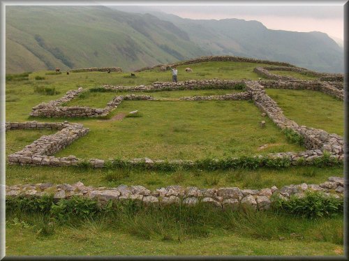
..
..
These famous pikes rise loftily above the village of Langdale, whilst below visitors can savour the wild and desolate beauty of.....
The romantic setting between high fells gives Crummock Water its character. It is somewhat overshadowed by other better known.....
I first saw the Lake District many years ago, when for eight out of my eleven day sojourn, it rained, and rained! None-the-less,.....
Follow PicturesOfEngland.com on social media and help share the beauty of England....