Please login or click here to join.
Forgot Password? Click Here to reset pasword
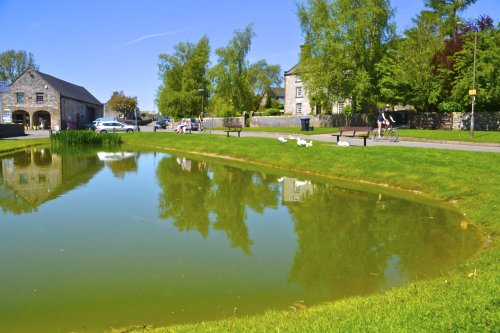
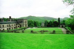
A pretty and popular village which includes a wonderful park which is part of Ilam Hall. Enjoy wonderful walks through the park and the lovely river Manifold. The village is set.....
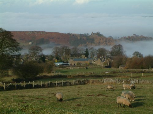
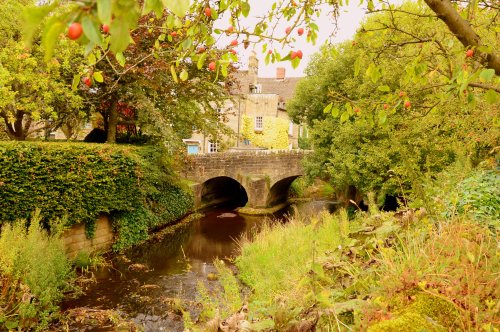
Hartington is a small village centred around a medieval market place, with attractive 18th and 19th century buildings...
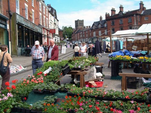
Ashbourne is a delightful market town located in the Derbyshire Dales, in the central part of England...
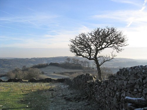
This unspoilt small peakland village stands 950 feet above sea level offering stunning views of the peakland countryside. It is a very tradional village, which had its own fire.....
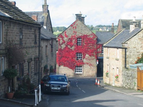
Today, this graceful village with its sweeping main street and quiet little alleyways is a tourist destination of character and charm...
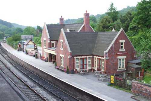
Attractively situated on the banks of the Caldon Canal in the beautiful Churnet Valley. Froghall offers visitors the opportunity to experience a diverse range of landscapes including fine watermeadows with a wealth of wildlife...
..
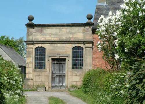
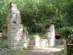
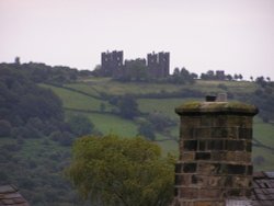
The village has many elegant stone buildings, and there is a circular lock-up and the romantic ruins of a 12th-century castle...
Denstone is a peaceful village set in the midst of rural Staffordshire countryside, where farm meadows are watered from a myriad of sparkling rivers flowing down from the Peak District National Park...
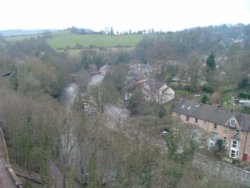
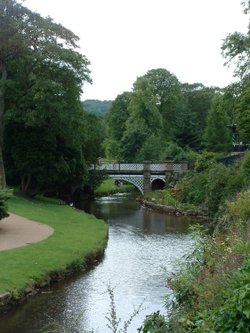
Matlock Bath lies amongst some of the most beautiful river-valley country in England...
Bakewell is the largest town in the Peak District National Park. It is an old town full of glowing stone houses and buildings that lend an air of ambience and overall warmth...
The village was a centre for candle making, noted for lead mining and made famous by the discovery of Ashford marble which was first quarried by Henry Watson in 1748...
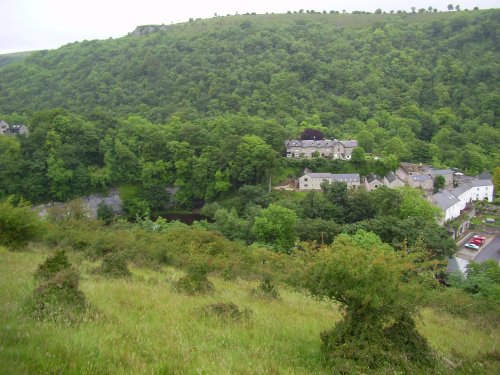
Set amidst the dramatic scenery of the glorious Peak District National Park, Cressbrook offers visitors breathtaking views from the road winding through this deep river valley. .....
This is a popular Derbyshire village with a church dating back to the Doomsday Book...
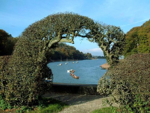
A pretty village with a delightful cluster of cottages and houses with lovely gardens, bordered by woods at the south end of the picturesque Rudyard Reservoir...
It was the 6th Duke of Devonshire who looked out of his window one day from Chatsworth House, and realised that the magnificent view of the park in front of him was blocked by a.....
This barely spoilt town offers an exciting opportunity to enjoy a town crammed with beautiful buildings whilst exploring the high upland regions of England's glorious Peak District National Park...
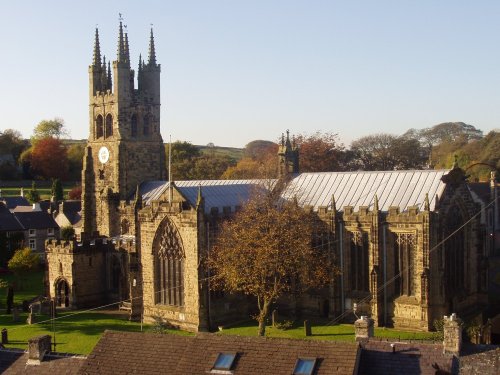
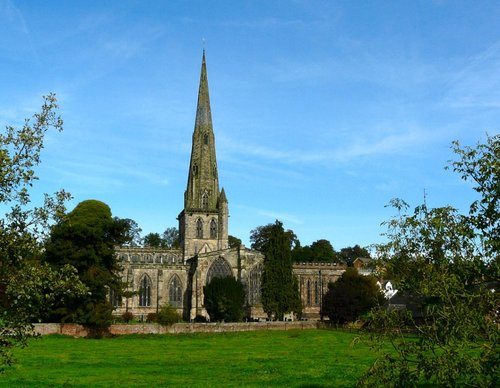
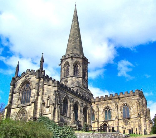
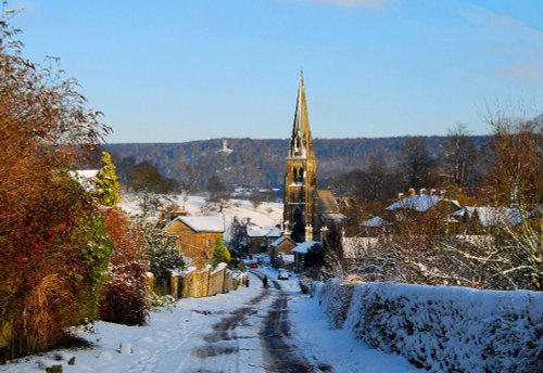
Tideswell is famous for its superb, large church, known as the "Cathedral of the Peak"...
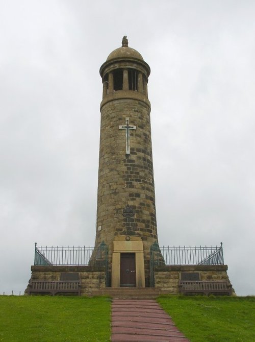
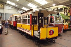
A village on the edge of the Peak District National Park with a Museum dedicated solely to the golden era of the Tramcar. Also famous as being the location for filming Peak Practice...
Set amidst the stark loneliness of the High Peak the village of Baslow is surrounded by some of the finest historic properties to be found in Derbyshire...
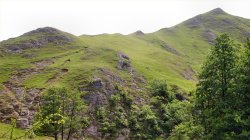
The River Dove flows through one of England's loveliest valleys. Though little more than a mile long, Dove Dale shows a variety.....
Running along both banks of the river Manifold, this is an area of beautiful open park and woodland with spectacular views.....
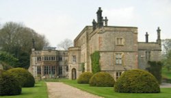
Dating from Jacobean times, Tissington Hall has been lived in by the FitzHerbert family for 500 years and is set in the beautiful.....
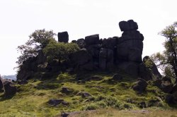
Robin Hood's Stride is a rocky outcrop overlooking the pretty village of Elton, in Derbyshire. By tradition the sole province of.....
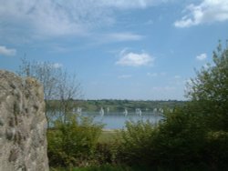
Carsington Water is situated close to the village of Carsington in the lower regions of Derbyshire. Carsington Water is a large.....
This is one of the Peak Districts hidden gems, not only is the scenery highly picturesque but the region is full of interesting.....
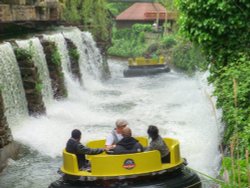
Alton Towers is the number one theme park in England. Dating back to the Victorian times, Alton Towers closed during the outbreak.....
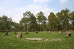
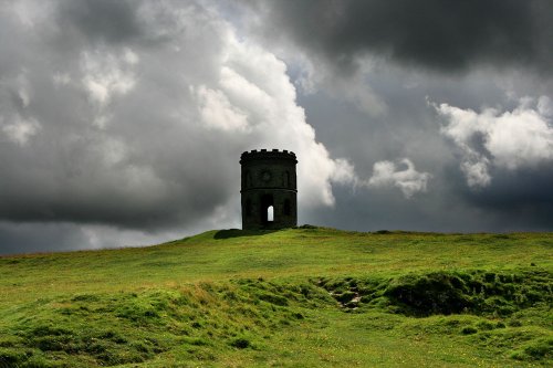
This wild eyrie stretch of moorland has an invigorating, yet gloomy feel to it and looking around at the barrows left from the.....
..
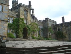
Perched in a picturesque position above the Derbyshire River Wye, the grey stone walls of Haddon House tempt invitingly, and you.....
..

..
..
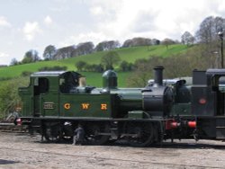
The Churnet Valley Railway is a preserved standard gauge heritage railway to the east of Stoke-on-Trent in Staffordshire,.....
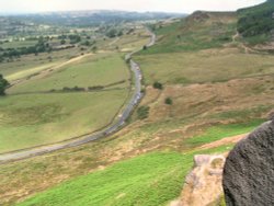
The spectacular Roaches are situated at the end of the Pennine Way, these together with oddly named Hen Cloud contrive between.....
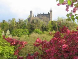
The Matlocks between them form some of the most outstanding countryside in the Peak District. Here you can find Riber Castle.....
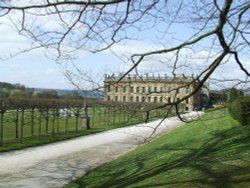
The magnificent Classical mansion that is Chatsworth House, is one of the most celebrated Historic Houses in England. Built in.....
..
..
Goyt's Moss lies in the wild and beautiful Goyt Valley, its steep slopes sweep down into the tranquil waters of the Fernlee.....
Follow PicturesOfEngland.com on social media and help share the beauty of England....