Please login or click here to join.
Forgot Password? Click Here to reset pasword
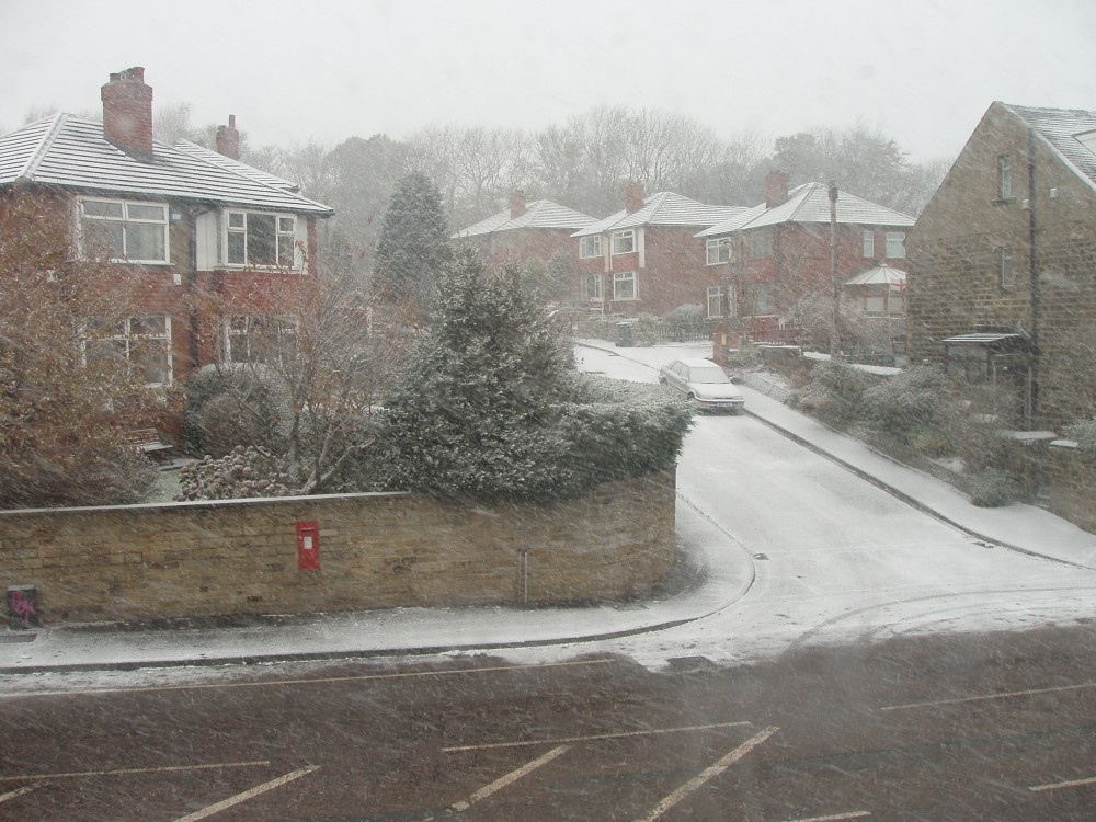
Almondbury is one of the oldest and prettiest of the villages dominating the edge of the Pennine moors...
This is a place that will forever be associated with the gentle, romantic comedy "Last of the Summer Wine" which has graced our TV screens for more than a quarter of a century...
Halifax is an industrial city close to the famous Pennines and the route of the Pennine Way in what is known as Yorkshire's "Bronte" country...

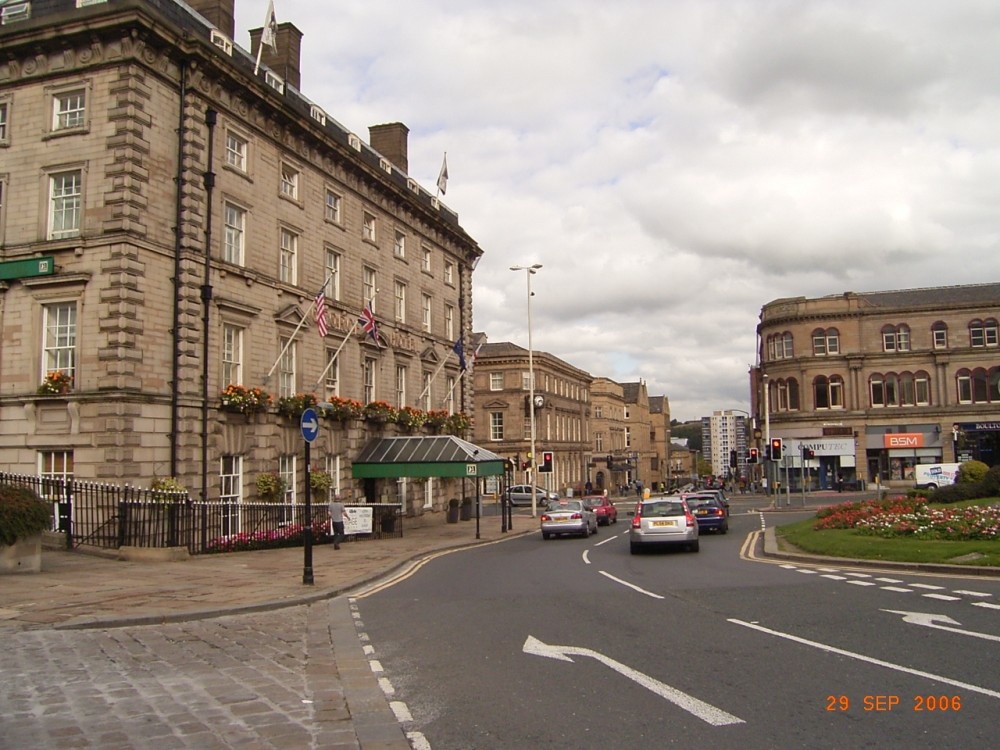
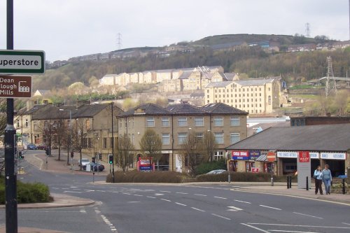
Surrounded by the dramatic scenery of the South Pennines, with the town's gentle scenery being enhanced by the River Calder and the River Ryburn on which the town stands...
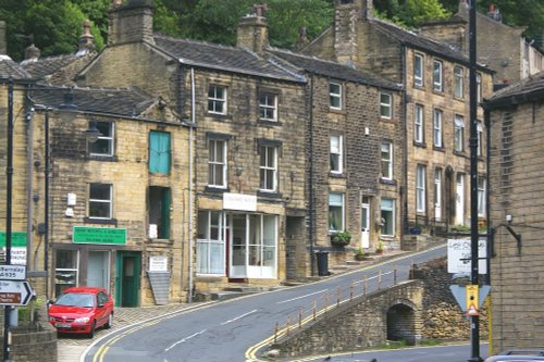
Marsden offers visitors a wealth of heritage, particularly in association with the town's expansion which came about during the heady days of the Industrial Revolution...
..
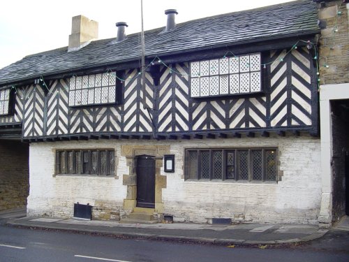
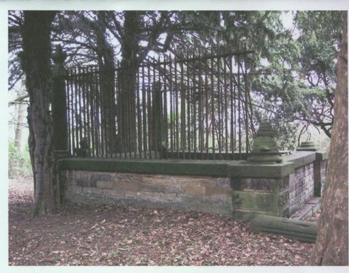
Home of the wicked Prioress who bled the unsuspecting Robin Hood to death. All that remains today is the Priory Gatehouse and.....
..
..
..

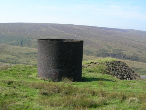
Marsden Moor was gifted to the National Trust in 1955 by Captain Sir Joseph Benedict Everard Henry Radcliffe in lieu of death.....
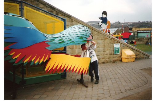
This is an exciting, fascinating tourist attraction that is both fun and thought provoking for all the family. It has fast.....
Follow PicturesOfEngland.com on social media and help share the beauty of England....