Please login or click here to join.
Forgot Password? Click Here to reset pasword
..
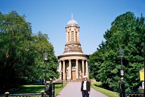
This perfectly preserved village originated as an answer to Bradford's 'dark satanic mills', it was the brain-child of industrialist Sir Titus Salt, who in the early 19th-century.....
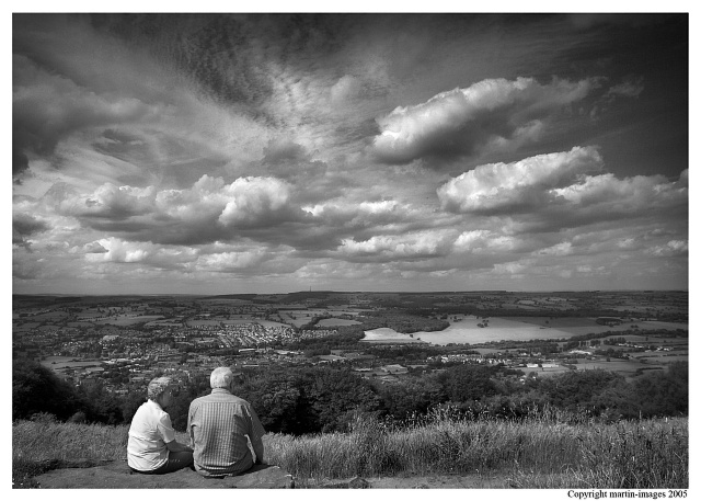
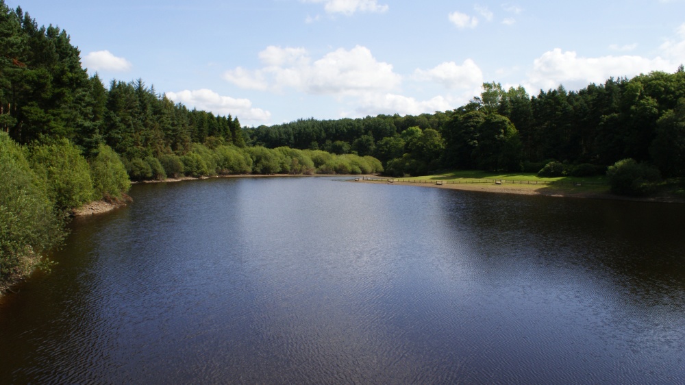
Harden lies in the famous countryside area between Cullingworth and Bingley surrounded by rivers and meadows. It is a favoured commuter base for those working in nearby Bradford...
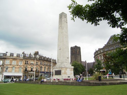
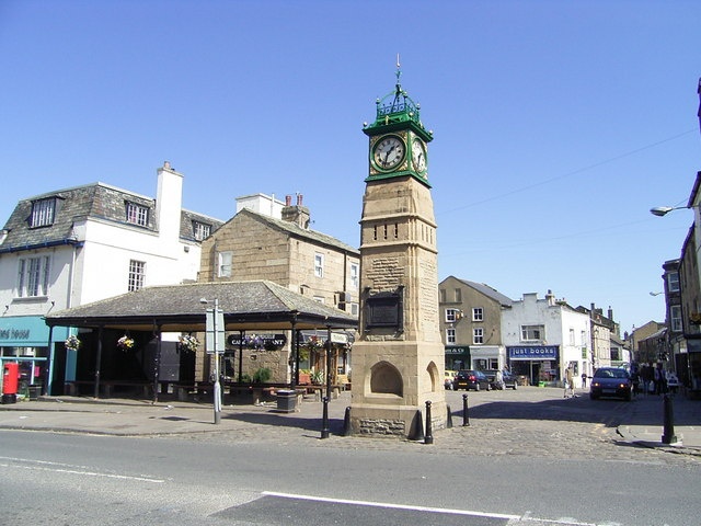
One of the chief town's in Yorkshire's old West Riding, Harrogate acheived early fame as a Spa resort...
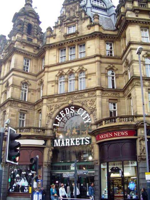
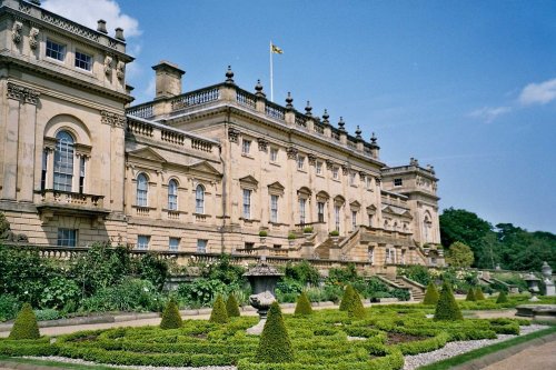
In the middle ages Leeds was a wool centre and it flourished. The sheep on the Yorkshire moors providing the wool for the cottage craft industry of spinning and weaving. The.....

..
..

Kirkstall Abbey is one of Yorkshire's finest ruined Cistercian abbey's. It was founded in the 12th-century from which much of.....
..
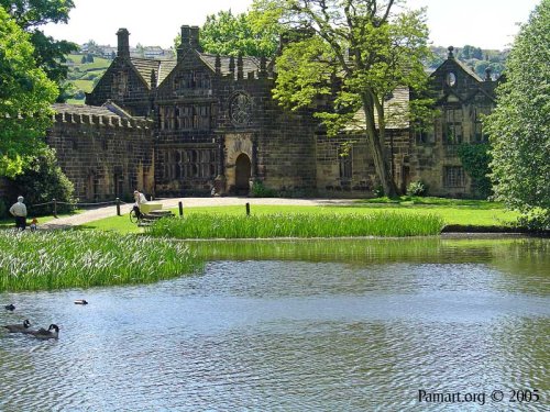
For a glorious day out amongst spectacular countryside where you get an evocative glimpse into the past there are few properties.....

..
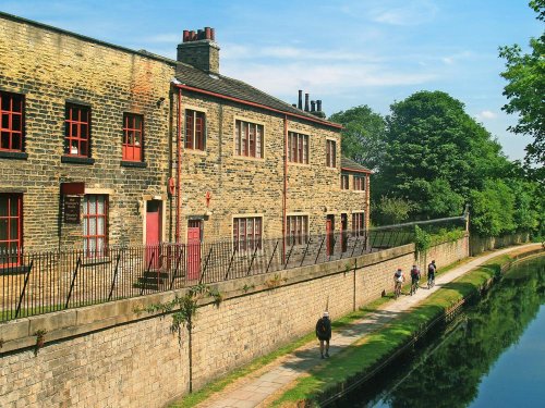
Formerly the largest woolen mill in the world, Armley Mills is now a museum that explores the rich industrial past of.....
Follow PicturesOfEngland.com on social media and help share the beauty of England....