Please login or click here to join.
Forgot Password? Click Here to reset pasword
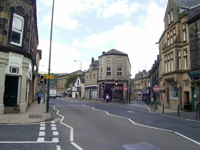
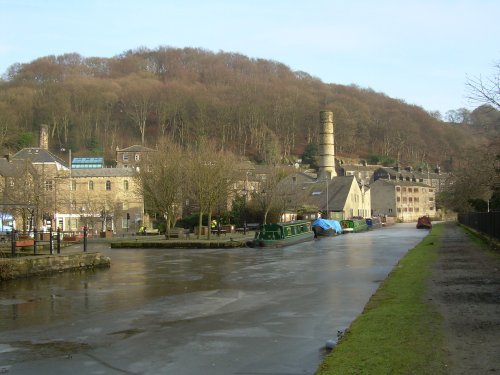
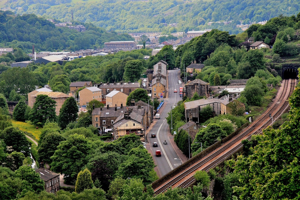
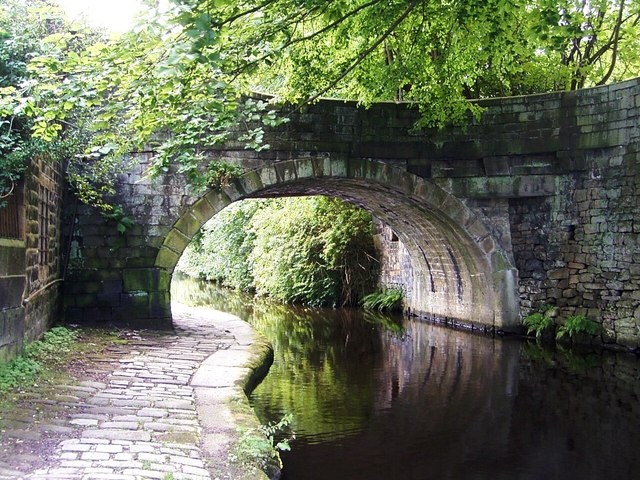
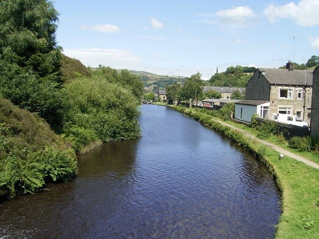
This beautiful old town grew up close to the River Hebden at the point where a stone bridge was built as part of a pack-horse route in the 16th century...
Surrounded by the dramatic scenery of the South Pennines, with the town's gentle scenery being enhanced by the River Calder and the River Ryburn on which the town stands...
Halifax is an industrial city close to the famous Pennines and the route of the Pennine Way in what is known as Yorkshire's "Bronte" country...
Haworth is famous the world over for its connections with the Bronte sisters, the famous novelists...
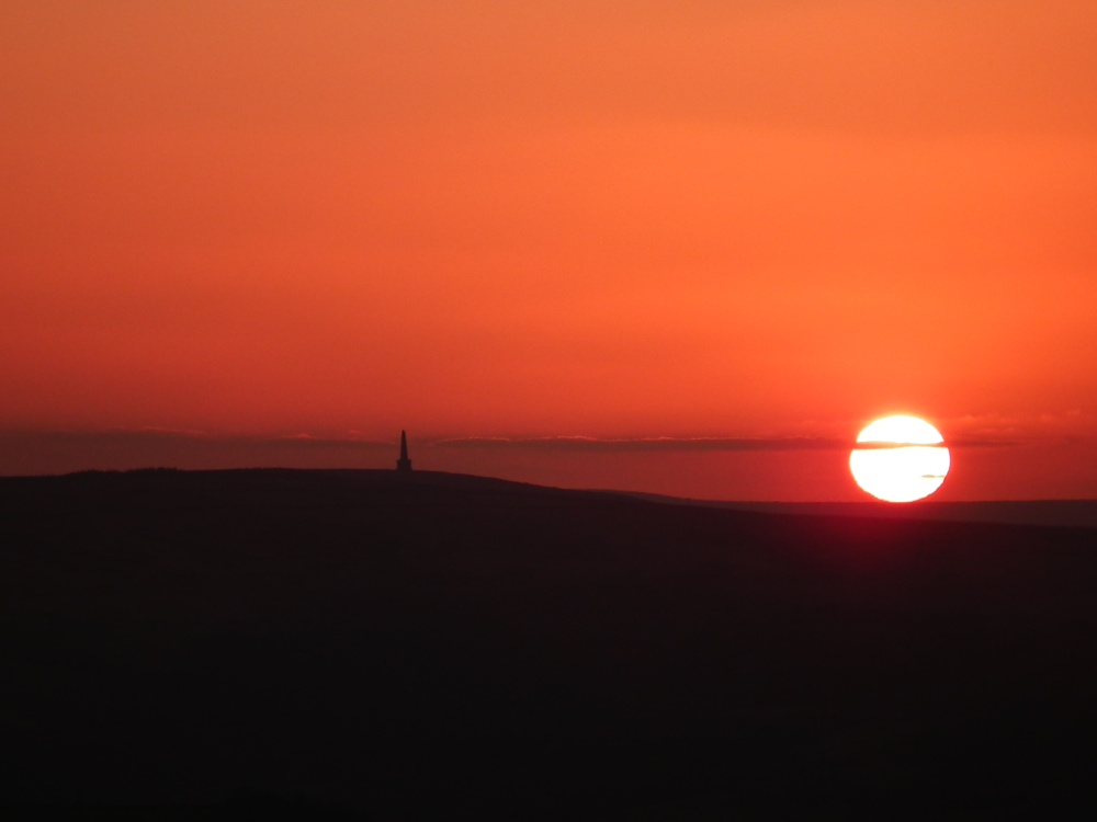
The countryside surrounding the town offers lakes, woods and hills, with distant Winter Hill rising to a height of 456 feet...
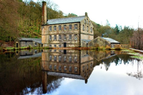
Beautiful wooded valley with 19th-century Gibson Mill at its heart, an exemplar of sustainable energy. This is the flagship.....
..
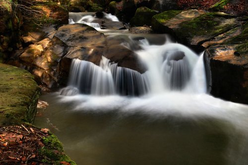
Healey Dell Nature Reserve on the Whitworth - Rochdale border, sits in a picturesque part of the Spodden Valley. Rich with flora.....
..
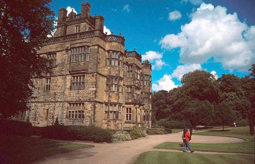
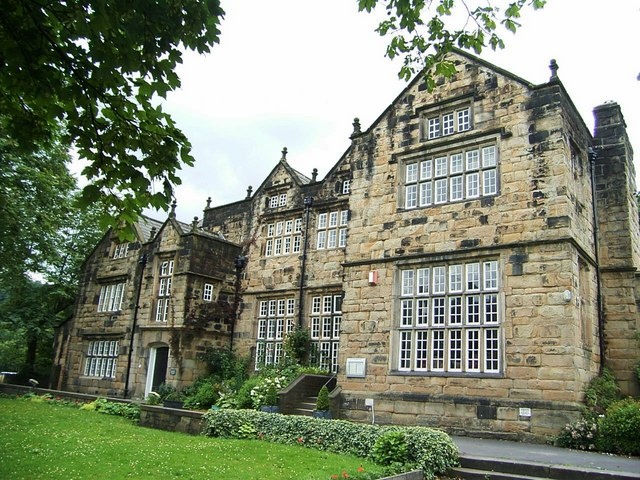
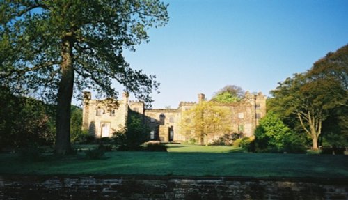
Gawthorpe Hall, home of the Shuttleworth family for several centuries lies close to the traditional Lancastrian market town of.....
Marsden Moor was gifted to the National Trust in 1955 by Captain Sir Joseph Benedict Everard Henry Radcliffe in lieu of death.....
..
Follow PicturesOfEngland.com on social media and help share the beauty of England....