PicturesOfEngland.com Member Login
You are not logged in.
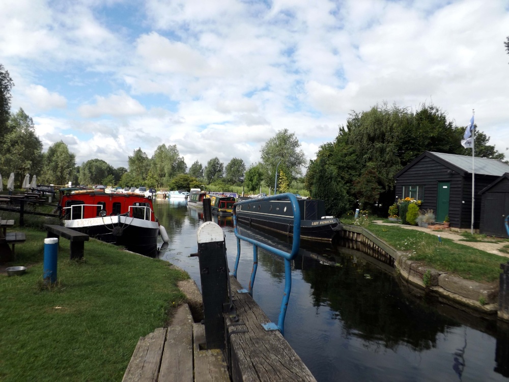
Papermill Lock, Little Baddow
The Chelmer & Blackwater Navigation has long unbroken history starting in June 1793 when an Act of Parliament was passed authorising in the making and maintaining of a navigable waterway between the town of Chelmsford.
In its heyday in the mid 19th century up to 60,000 tons of freight was carried along the 14 miles of the navigation, rising 77' via 12 locks between Heybridge Basin, on the Blackwater Estuary, and Springfield Basin, close to the heart of Chelmsford.
Much coal, corn and timber was transhipped in Heybridge Basin between seagoing ships and navigation barges, though local freight was carried, too, with every parish having its waterside wharf. Wood and iron was taken to Chelmsford to build the Great Eastern Railway, which, in turn, took freight away from the waterway, heralding its decline. With dwindling traffic, horse-drawn barges survived into the 1950s, and the last diesel lighter loaded timber from a Scandinavian steamer for Browns Wharf in 1972.
The Canal Centre at Paper Mill, with its Old Stables Tea Rooms, river trips and hire boats, opened in 2002.
Browse all Little Baddow images Add to favourites
Photographer: © Chris Mac (Gallery)(19th August 2013)
Please add a comment..
Please login to make a comment on this picture
Camera Make: FUJIFILM� Model: FinePix S4200�
Exposure Program: Program, Focal length: 4.3 mm, Aperture: f 8, ISO: 64, Exposure time: 1/105 sec, Metering Mode: Multi-Segment, Exposure Bias: 0 EV
Date/Time Creation: June 11, 2013, 11:13 pm
ImageID:1179109, Image size: 4288 x 3216 pixels
