Pictures of England

Search:

Historic Towns & Picturesque Villages

Recommended Towns & Villages near Wrea Green

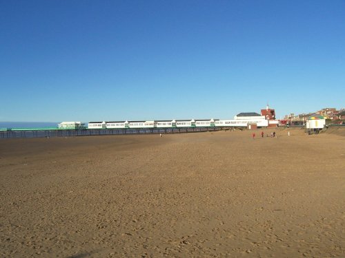
Lytham St Anne's Pier

Lytham St Anne's (86 Pictures)

in the county of Lancashire (5.1 miles, 8.1 km, direction W)

St. Anne's has a fine sandy beach backed by grassy sand dunes and a fascinating pier, first built in 1885 and subsequently rebuilt and remodelled...
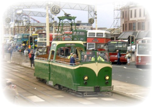
Coming home

Blackpool (315 Pictures)

a Seaside Town in the county of Lancashire (6.5 miles, 10.4 km, direction NW)

Blackpool, long famous for its vast illuminated Golden Mile, commenced its rise to fame way back in the Victorian Era when the famous seafront consisted of no more than a single row of houses...

Garden flowers

Cleveleys (127 Pictures)

in the county of Lancashire (8.6 miles, 13.8 km, direction NW)

Less bustling than its busy neighbour Blackpool, Cleveleys lies on the same 15 mile stretch of beautiful golden sands...

St Thomas's Church. 1830s. Moor Lane, Preston, Lancashire. UK.

Preston (68 Pictures)

in the county of Lancashire (8.8 miles, 14.1 km, direction E)

This is the town that was at the centre of the cotton spinning industry for well over a hundred and fifty years. ..
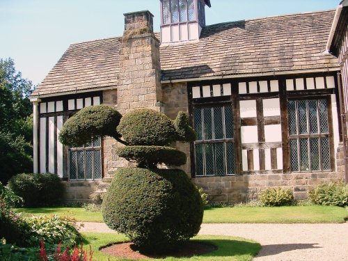
Rufford Old Hall, Lancashire

Rufford (6 Pictures)

in the county of Lancashire (10.6 miles, 17.1 km, direction S)

Noted for its picturesque late-medieval manor house Rufford Old Hall, the village of Rufford occupies a fine setting on the fertile Lancashire Plains...

Fleetwood, Lancashire

Fleetwood (97 Pictures)

in the county of Lancashire (10.7 miles, 17.3 km, direction NW)

Fleetwood was once famous as a fishing port, but now it is more likely the visitor will see yachts and leisure boats lined up at the pretty quayside...
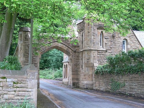
Six Arches, near the River Wye, Scorton, Lancashire

Scorton (3 Pictures)

in the county of Lancashire (12.6 miles, 20.3 km, direction NE)

The picturesque village of Scorton lies to the west of the Bowland Forest beneath the shadow of Calder Fell, in an area much famed for its sparkling streams, fells and forest glades inhabited by wildlife...
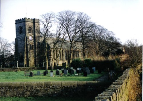
Holy Trinity Church, Hoghton, Lancashire

Hoghton (12 Pictures)

in the county of Lancashire (14.1 miles, 22.7 km, direction E)

It was here that James I created "Sirloin" when he supposedly knighted his beef!..
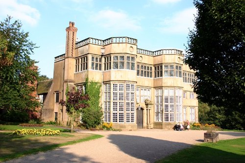
Astley Hall, Chorley

Chorley (34 Pictures)

in the county of Lancashire (14.4 miles, 23.2 km, direction SE)

The town's historic roots go back beyond the Bronze-Age, as evidenced by findings in the 20th century...

River Ribble

Ribchester (78 Pictures)

a Picturesque Village in the county of Lancashire (15.9 miles, 25.6 km, direction E)

A picturesque village in the Ribble Valley..

Chipping

Chipping (75 Pictures)

a Picturesque Village in the county of Lancashire (15.9 miles, 25.6 km, direction NE)

Winner of Britain in Bloom in 2009, and RHS Tourism and Gold achievement awards, Chipping is a charming village located above a fast flowing stream at the edge of the Bowland forest. Its character can be seen in its ancient cobbled streets and lovely 17th century properties...

Freshfield, Formby Looking out to sea

Formby (18 Pictures)

in the county of Merseyside (16.3 miles, 26.2 km, direction SW)

..

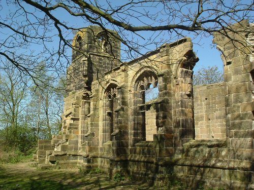
St Katherines Chapel, Lydiate.

Lydiate (3 Pictures)

in the county of Merseyside (17.1 miles, 27.6 km, direction S)

This attractive village was mentioned in the Doomsday Book. It is perhaps best known for the evocative ruins of St. Catherine's Church...

Hurst Green

Hurst Green (207 Pictures)

a Picturesque Village in the county of Lancashire (18.2 miles, 29.3 km, direction E)

This pretty Lancastrian villages the setting for historic Stoneyhurst, a noted school which was founded in the 16th-century...

St Peter's RC Cathedral from Lancaster Canal

Lancaster (142 Pictures)

in the county of Lancashire (19.3 miles, 31.0 km, direction N)

This is a city which long ago lost it's grim clogs and mill image to give way to a fast growing city with a fine reputation as a centre of commerce and culture where bright, modern University buildings sit comfortably with Lancaster's historic areas...
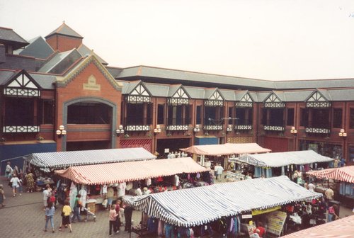
Wigan Market

Wigan (52 Pictures)

in the county of Greater Manchester (19.7 miles, 31.6 km, direction SE)

Wigan is a sociable town with a long history, it received it's Royal charter in the middle of the 13th-century, but prior to that the Roman's had built a settlement here...
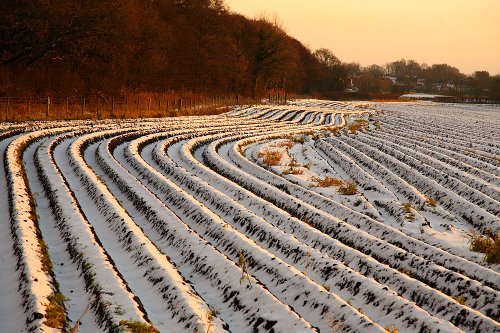
The Junction public house, Rainford.

Rainford (17 Pictures)

in the county of Merseyside (19.8 miles, 31.8 km, direction S)

Rainford is a small village attractively set in open countryside between St. Helen's and Wigan...

River Dunsop

Dunsop Bridge (70 Pictures)

in the county of Lancashire (19.9 miles, 32.0 km, direction NE)

..

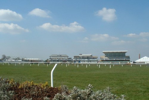
Aintree racecourse

Aintree (1 Pictures)

in the county of Merseyside (20.6 miles, 33.1 km, direction S)

..

Late afternoon at Crosby

Crosby (31 Pictures)

in the county of Merseyside (20.6 miles, 33.1 km, direction S)

Modern day Crosby straddles the Irish Sea, it is a mainly residential area with a coastline of sands - including the Blundell Sands, thus named for the Blundell family...
Recommended attractions near Wrea Green

The Sealion Pool, Blackpool Zoo, taken August 2005

Blackpool Zoo (10 Pictures)

(4.8 miles, 7.7 km, direction NW)

Blackpool Zoo, situated in Lancashire, England, is a popular zoological park known for its wide variety of animals and.....
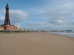
Blackpool Beach and Tower taken 19 May 2005

Blackpool Pleasure Beach (9 Pictures)

(5.9 miles, 9.5 km, direction W)

..

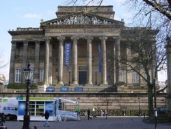
The Harris Museum, Preston

Harris Museum & Art Gallery, Preston (1 Pictures)

(8.6 miles, 13.9 km, direction E)

..

Preston Guild Hall

Preston Guildhall (1 Pictures)

(8.9 miles, 14.3 km, direction E)

..

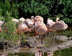
Pink flamingo, Wildfowl & Wetlands Trust Martin Mere, Burscough, Lancashire

Wildfowl & Wetlands Trust Martin Mere (52 Pictures)

(9.0 miles, 14.5 km, direction S)

..

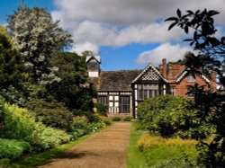
Rufford Old Hall

Rufford Old Hall (20 Pictures)

(10.5 miles, 16.9 km, direction SE)

Rufford Old Hall was presented to the National Trust in 1936 by Lord Hesketh. The Old Hall is a medieval manor house of splendid.....
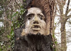
Secret Garden Cuerden Hall

Cuerden Valley Country Park (1 Pictures)

(11.6 miles, 18.7 km, direction SE)

..

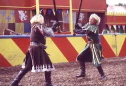
Knights in action at Camelot Theme Park, Charnock Richard

Camelot Theme Park (4 Pictures)

(12.7 miles, 20.4 km, direction SE)

Join Merlin, King Arthur and his brave knights of the Round Table at the Kingdom of Camelot and explore five magical lands filled.....
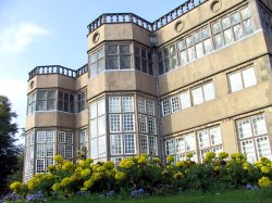
Astley Hall, Astley Park, Chorley, Lancashire

Astley Hall (9 Pictures)

(13.7 miles, 22.0 km, direction SE)

..

Samlesbury Hall

Samlesbury Hall (2 Pictures)

(13.8 miles, 22.2 km, direction E)

..

Hoghton Tower

Hoghton Tower (12 Pictures)

(14.2 miles, 22.9 km, direction E)

..

Freshfield, Formby Looking out to sea

Formby Reserve (2 Pictures)

(16.2 miles, 26.0 km, direction SW)

A beautiful stretch of coastline offering a large expanse of beach, sand dunes and pine woods where you can glimpse the rare but.....
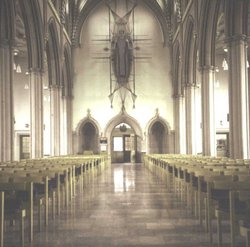
Blackburn Cathedral

Blackburn Cathedral (3 Pictures)

(17.5 miles, 28.2 km, direction E)

..

Bold venture Park, Darwen, Lancashire.

Bold Venture Park (30 Pictures)

(19.0 miles, 30.6 km, direction E)

The name of this spacious green park situated at Darwen in Lancashire epitomises the endeavour of the local borough engineer who.....
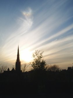
Lancaster Cathedral at sunset 2005

Lancaster Cathedral (5 Pictures)

(19.4 miles, 31.2 km, direction N)

This may not be as old as other English cathedral churches, but with its soaring spire reaching to a height of 240 feet and a.....
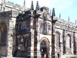
Lancaster Castle, Lancaster, Lancashire.

Lancaster Castle (21 Pictures)

(19.4 miles, 31.2 km, direction N)

Dominating the skyline of the town, Lancaster Castle is of the best-preserved castles in England. This Castle is still used as a.....
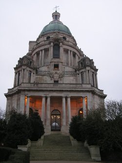
Ashton Memorial in Lancaster

Ashton Memorial (5 Pictures)

(19.4 miles, 31.3 km, direction N)

The Ashton Memorial with its green dome, overlooks the City from Williamson Park. It forms a famous Classical landmark and was.....
Darwen Tower at sunset, Darwen, Lancashire.

Darwen Tower (18 Pictures)

(19.5 miles, 31.4 km, direction E)

An observation tower circa 1897Standing at 86ft high, apparently you can sometimes see the Welsh Hills from it on a very clear.....
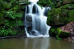
A section of the waterfall, taken in the grounds of Smithill's Hall, Bolton, Greater Manchester.

Smithill's Hall (7 Pictures)

(22.1 miles, 35.6 km, direction SE)

..

Lazy afternoon

Clitheroe Castle (41 Pictures)

(22.1 miles, 35.6 km, direction E)

..


All attractions in Wrea Green
All attractions in Lancashire