Pictures of England

Search:

Historic Towns & Picturesque Villages

Recommended Towns & Villages near Low Bradfield

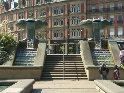
Peace Gardens

Sheffield (127 Pictures)

in the county of South Yorkshire (6.2 miles, 10.0 km, direction SE)

..

Hathersage Church

Hathersage (59 Pictures)

a Picturesque Village in the county of Derbyshire (6.8 miles, 10.9 km, direction S)

The town now takes advantage of its superb position, operating mostly as an attractive place for tourists...
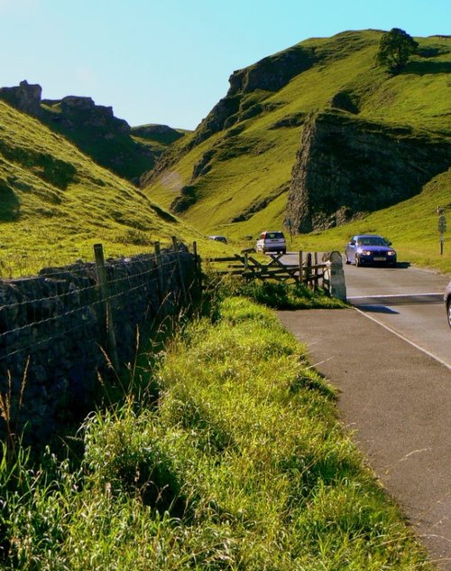
Winnats Pass

Castleton (217 Pictures)

a Picturesque Village in the county of Derbyshire (8.9 miles, 14.3 km, direction SW)

Castleton is one of the Jewels of the Peak District. It is a famous centre for caverns where you will find four of the countries most famous show caves. It is also the home of.....
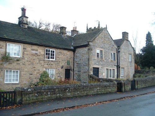
The Plague Cottages, Eyam, Derbyshire

Eyam (17 Pictures)

a Picturesque Village in the county of Derbyshire (10.0 miles, 16.1 km, direction S)

Setting its chilling history to one side, this is a village with a lot to offer. It is hidden away in a matchless location above the limestone peaks of Middleton Dale in the Peak District...
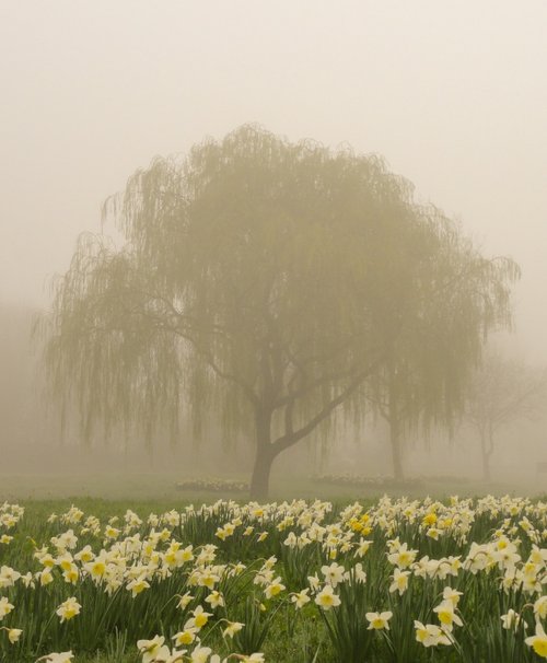
Misty March morning

Rotherham (107 Pictures)

in the county of South Yorkshire (10.1 miles, 16.3 km, direction E)

This town was formerly a Saxon market town which remained largely unaltered until the Industrial Revolution...
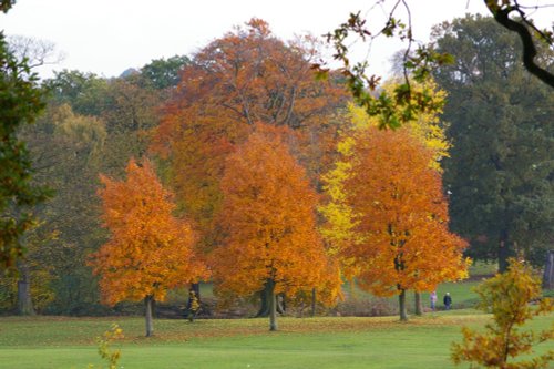
Autumn in Barnsley, South Yorkshire

Barnsley (161 Pictures)

in the county of South Yorkshire (10.4 miles, 16.7 km, direction NE)

This is an attractive town laid out along the River Dearne, it is enclosed by spectacular Pennine scenery and is an ideal place from which to discover the limestone hills and fresh green valley's of the Yorkshire Dales...
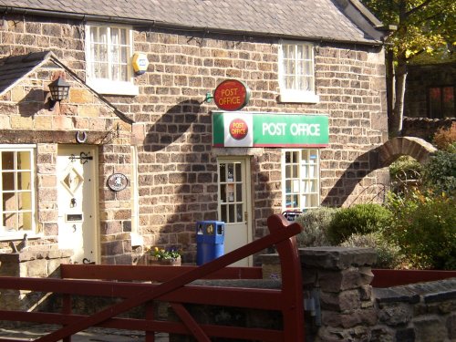
A picture of Whiston

Whiston (11 Pictures)

in the county of South Yorkshire (11.8 miles, 19.0 km, direction E)

Whiston is surrounded by fine countryside, leafy lanes lead towards Morthen and Wickersley...
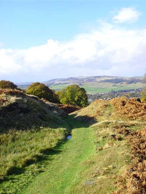
The landscape over Baslow, Derbyshire

Baslow (25 Pictures)

in the county of Derbyshire (11.9 miles, 19.1 km, direction S)

Set amidst the stark loneliness of the High Peak the village of Baslow is surrounded by some of the finest historic properties to be found in Derbyshire...
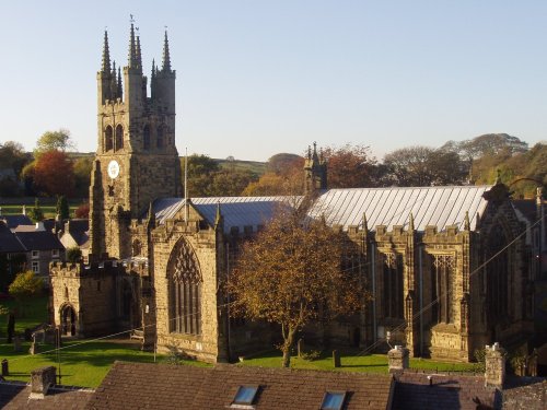
Tideswell Church, known as 'Cathedral of the Peak'. The centre piece of the village.

Tideswell (5 Pictures)

in the county of Derbyshire (12.3 miles, 19.8 km, direction SW)

Tideswell is famous for its superb, large church, known as the "Cathedral of the Peak"...

Digley reservoir

Holmfirth (40 Pictures)

in the county of West Yorkshire (12.8 miles, 20.5 km, direction NW)

This is a place that will forever be associated with the gentle, romantic comedy "Last of the Summer Wine" which has graced our TV screens for more than a quarter of a century...

Thrybergh Country Park, South Yorkshire

Thrybergh (14 Pictures)

in the county of South Yorkshire (12.8 miles, 20.6 km, direction E)

Thrybergh is a pretty South Yorkshire village with a history stretching back to the time of the Doomsday Book, for centuries it was little more than a small rural village with scattered housing and farms...
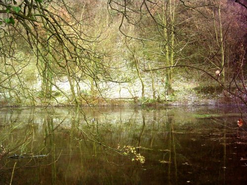
Cressbrook Mill Water, Derbyshire

Cressbrook (13 Pictures)

a Picturesque Village in the county of Derbyshire (13.1 miles, 21.1 km, direction SW)

Set amidst the dramatic scenery of the glorious Peak District National Park, Cressbrook offers visitors breathtaking views from the road winding through this deep river valley. .....
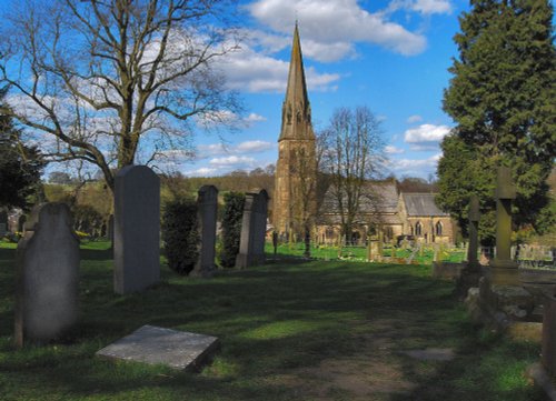
Edensor Church

Edensor (20 Pictures)

a Picturesque Village in the county of Derbyshire (13.4 miles, 21.6 km, direction S)

It was the 6th Duke of Devonshire who looked out of his window one day from Chatsworth House, and realised that the magnificent view of the park in front of him was blocked by a.....
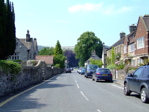
Ashford in the water

Ashford in the Water (80 Pictures)

a Picturesque Village in the county of Derbyshire (14.1 miles, 22.7 km, direction S)

The village was a centre for candle making, noted for lead mining and made famous by the discovery of Ashford marble which was first quarried by Henry Watson in 1748...

A view of Castle Nase taken from the edge of Coombs Reservoir, Chapel-en-le-Frith, Derbyshire

Chapel-en-le-Frith (5 Pictures)

in the county of Derbyshire (14.3 miles, 23.0 km, direction SW)

Chapel is a well preserved, picturesque place. It has a lovely old church dating back to the 14th-century which stands on the spot of an earlier church built by foresters a century or so before...
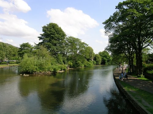
A view from the old bridge, taken on 23 July 04

Bakewell (202 Pictures)

a Historic Market Town in the county of Derbyshire (14.6 miles, 23.6 km, direction S)

Bakewell is the largest town in the Peak District National Park. It is an old town full of glowing stone houses and buildings that lend an air of ambience and overall warmth...
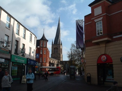
The Crooked Spire, Chesterfield, Derbyshire

Chesterfield (75 Pictures)

a Historic Market Town in the county of Derbyshire (15.0 miles, 24.1 km, direction SE)

Chesterfield is an attractive town close to the dramatic peaks of the Peak District National Park. It is well known for its strange landmark, the crooked spire of its parish.....
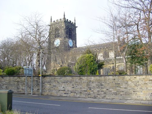
ALL HALLOWS CHURCH, ALMONDBURY, HUDDERSFIELD

Almondbury (6 Pictures)

a Picturesque Village in the county of West Yorkshire (15.3 miles, 24.6 km, direction NW)

Almondbury is one of the oldest and prettiest of the villages dominating the edge of the Pennine moors...
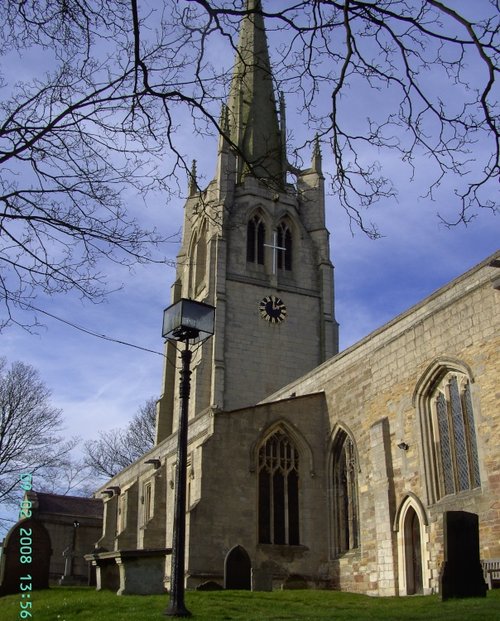
All Saints Church, Laughton en le Morthen, South Yorkshire

Laughton en le Morthen (25 Pictures)

in the county of South Yorkshire (16.2 miles, 26.1 km, direction E)

Once a mining hamlet, Laughton-en-le-Morthen is now thriving village with stylish housing expanding out from its medieval centre...

Roche Abbey

Maltby (70 Pictures)

in the county of South Yorkshire (16.6 miles, 26.8 km, direction E)

The town was mentioned in the Doomsday Book, and several historic properties can be found in the region from shortly after this time, of these, of particular note are the handsome ruins of Roche Abbey, a Cistercian foundation of 1147...
Recommended attractions near Low Bradfield

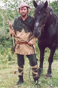
Robin Hood

Bradfield Moors (3 Pictures)

(1.8 miles, 2.9 km, direction W)

..

Towards Stanage on an Autumn day

Stanage Edge (26 Pictures)

(4.5 miles, 7.2 km, direction SW)

Stanage Edge is an elevated gritstone edge or enscarpment that stretches for around 4 miles giving extensive views across the.....
Ladybower Reservoir, Derbyshire. October 2004

Ladybower Reservoir (108 Pictures)

(5.4 miles, 8.7 km, direction SW)

This beautiful reservoir is found in the undulating Derbyshire countryside. It is the lowest of the Peak districts three.....

Botanical Gardens fountain 24th Feb 2005

Botanical Gardens, Sheffield (5 Pictures)

(5.5 miles, 8.8 km, direction SE)

..

A picture of Sheffield Cathedral

Sheffield Cathedral (1 Pictures)

(6.2 miles, 10.0 km, direction SE)

This cathedral dates mostly from the 15th century, it was the former parish church of St.Peter and St.Paul, its tower and.....
Alport Dale, Hope Forest, Derbyshire (Peak District National Park)

Alport Castles (3 Pictures)

(7.6 miles, 12.3 km, direction W)

Alport Castles refers to a striking natural feature in the Peak District National Park, Derbyshire, England. Despite its name,.....

A good view of Stainborough Castle at Wentworth Castle Gardens near Barnsley

Wentworth Castle (50 Pictures)

(7.9 miles, 12.7 km, direction NE)

Wentworth Castle Gardens have been the subject of an ambitious plan to restore the magnificent estate, once home to the Earls of.....
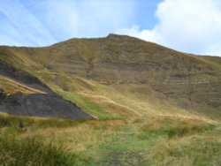
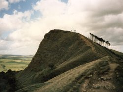
Mam Tor in Hope Valley, Derbyshire

Hope Valley (6 Pictures)

(8.7 miles, 14.0 km, direction SW)

..

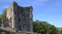
The Keep at Peveril Castle

Peveril Castle (31 Pictures)

(9.0 miles, 14.5 km, direction SW)

Built to be impregnable, the ruins of Peveril Castle stand on a steep ridge with dramatic views in all directions, giving the.....
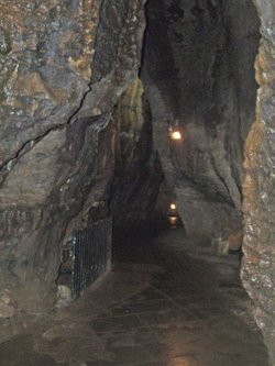
Inside the Blue John Cavern (04-05-2006)

Blue John Cavern (18 Pictures)

(9.1 miles, 14.7 km, direction SW)

..

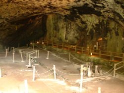
Inside the entrance to Peak Cavern Cave, in Castleton, Derbyshire

Peak Cavern (13 Pictures)

(9.2 miles, 14.8 km, direction SW)

Peak Cavern is one of the finest of the many underground caverns of this area. It lies beneath Peveril Castle at the centre of.....
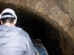
A picture of Speedwell Cavern

Speedwell Cavern (5 Pictures)

(9.4 miles, 15.2 km, direction SW)

..

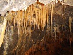
Stalagtites in Treak Cliff Cavern, Derbyshire, UK

Treak Cliff Cavern (3 Pictures)

(9.7 miles, 15.5 km, direction SW)

..

A picture of Peak District National Park

Peak District National Park (407 Pictures)

(9.7 miles, 15.6 km, direction SW)

The varied and seductive scenery of the Peak District National Park rivals the scenic beauty of any where in the land. It is an.....

Cannon Hall park

Cannon Hall Country Park (24 Pictures)

(10.3 miles, 16.5 km, direction N)

Outstanding country park originally landscaped in the 1760's by Richard Woods. The park surrounds a magnificent hall designed by.....

at Monk Bretton Priory, Cudworth, South Yorkshire

Monk Bretton Priory (8 Pictures)

(11.6 miles, 18.6 km, direction NE)

..

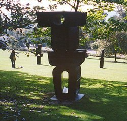
Yorkshire Sculpture Park, West Bretton, West Yorkshire

Yorkshire Sculpture Park (35 Pictures)

(13.2 miles, 21.3 km, direction N)

This is an exciting, fascinating tourist attraction that is both fun and thought provoking for all the family. It has fast.....
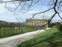
Chatsworth House

Chatsworth House (281 Pictures)

(13.5 miles, 21.7 km, direction S)

The magnificent Classical mansion that is Chatsworth House, is one of the most celebrated Historic Houses in England. Built in.....

Thrybergh Country Park in South Yorkshire, England

Thrybergh Country Park (18 Pictures)

(13.6 miles, 21.8 km, direction E)

Thrybergh Country Park evolved out of Thrybergh Reservoir built in the 1800's to supply the borough of Doncaster with water. .....

A view of Newmillerdam taken near the memorial, West Yorkshire.

Newmillerdam Country Park (20 Pictures)

(15.1 miles, 24.3 km, direction N)

This attractive country park offers a rich and varied country landscape, it is dominated by a large lake ringed by numerous trees.....


All attractions in Low Bradfield
All attractions in South Yorkshire