Pictures of England

Search:

Historic Towns & Picturesque Villages

Recommended Towns & Villages near Upavon

St Mary and St Melor Abbey Church, Amesbury

Amesbury (78 Pictures)

in the county of Wiltshire (8.3 miles, 13.3 km, direction S)

Amesbury is a town near to stonehenge and is one of Wiltshire's most attractive little towns...

A picture of Devizes

Devizes (111 Pictures)

a Historic Market Town in the county of Wiltshire (8.9 miles, 14.4 km, direction NW)

Devizes is a small market town situate on the edge of the great expanse of Salisbury Plain...

Early morning on The Gallops, Beckhampton.

Beckhampton (8 Pictures)

in the county of Wiltshire (9.2 miles, 14.8 km, direction N)

This delightful hamlet lies in one of the richest natural history area's in England, containing the burial places of people from pre-history and almost unknown centuries...

A picture of Wilton

Wilton (40 Pictures)

in the county of Wiltshire (9.3 miles, 15.0 km, direction NE)

A landmark in the area is Wilton Windmill, this is a restored windmill from 1821, it was refurbished in 1976 and stands on a chalk ridge 550 feet above sea level. This superb.....
Marlborough--Savernake Forest, Wiltshire.

Marlborough (11 Pictures)

in the county of Wiltshire (9.5 miles, 15.3 km, direction N)

Dramatic chalk downs extend from Berkshire into rural Wiltshire, they are particularly rich in pre-historic remains and shelter a wealth of charming market towns and pretty.....
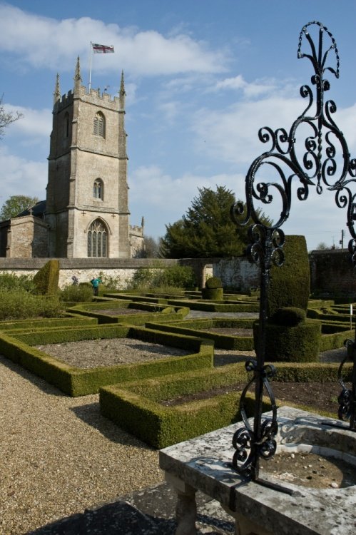
St. Jame's Church, Avebury

Avebury (171 Pictures)

a Picturesque Village in the county of Wiltshire (9.6 miles, 15.5 km, direction N)

The village of Avebury is world famous for its spectacular stone circle, which some consider more spectacular than Stonehenge. The pretty village also has a 15th century church,.....

No picture available

Shalbourne

in the county of Wiltshire (12.4 miles, 19.9 km, direction NE)

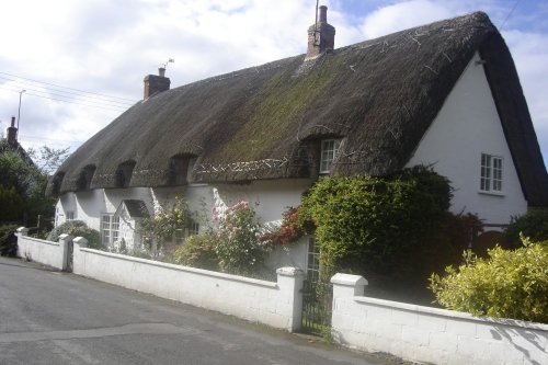
The country village of Shalbourne in Wiltshire is marked out by its leafy lanes and clutch of pretty thatched properties...
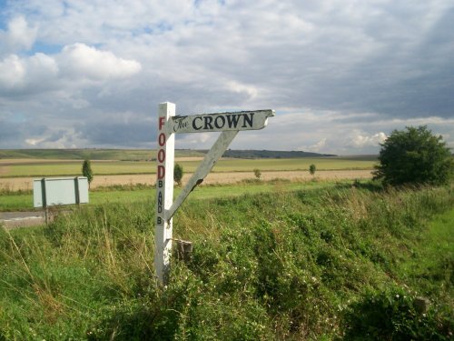
Broad Hinton

Broad Hinton (8 Pictures)

in the county of Wiltshire (13.3 miles, 21.5 km, direction N)

Broad Hinton is found in the spacious countryside a few miles south-west of Swindon, close to the Ridgeway Path...
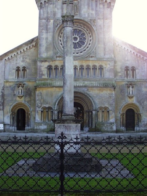
This view shows the side of St Mary and St Nicholas Church, Wilton, Wiltshire, England

Wilton (14 Pictures)

in the county of Wiltshire (14.7 miles, 23.7 km, direction S)

Wilton was once a county town, it has also been a bishopric, a Royal residence and is one of the oldest boroughs in England...
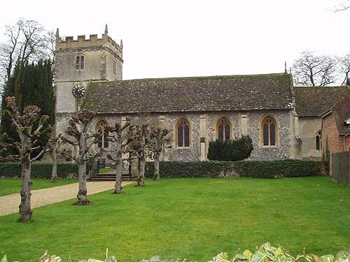
Chilton Foliat

Chilton Foliat (8 Pictures)

in the county of Wiltshire (15.1 miles, 24.3 km, direction NE)

A fine example of a typical English country village beside the River Kennet in Wiltshire..
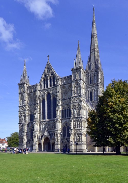
Cathedral

Salisbury (276 Pictures)

a Historic City in the county of Wiltshire (15.5 miles, 24.9 km, direction S)

The soaring grace of Salisbury Cathedral's slender spire rises majestically over the town. Higher than any other in the land, at 404 feet, the spire can be seen against the.....
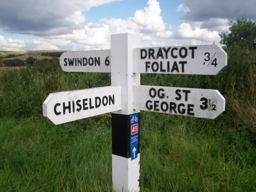
Swindon Borough Council direction sign at Ladysmith Crossroads, Chiseldon, Wiltshire

Chiseldon (3 Pictures)

in the county of Wiltshire (15.6 miles, 25.1 km, direction N)

This is an attractive large village lying to the edge of the Marlborough Downs, its inclusion in the Doomsday Book indicates at that time it was a village of some importance...
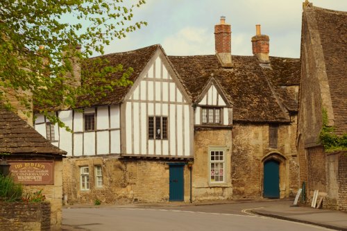
Street View Lacock

Lacock (150 Pictures)

a Picturesque Village in the county of Wiltshire (15.7 miles, 25.3 km, direction NW)

Gatherings of graceful medieval houses line the streets of Lacock..
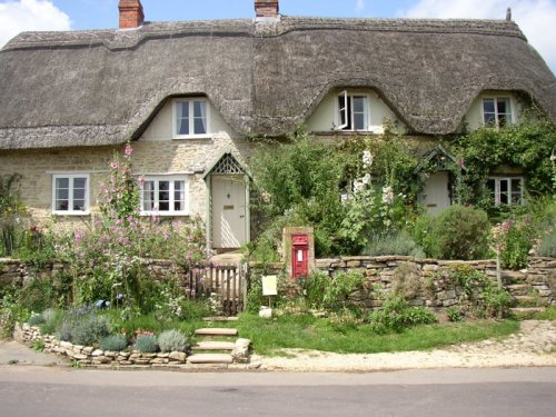
The river Avon at Reybridge, Wiltshire. Taken during the summer of 2004

Reybridge (6 Pictures)

in the county of Wiltshire (15.8 miles, 25.4 km, direction NW)

..

The Parish Church of Warminster, Wiltshire

Warminster (117 Pictures)

in the county of Wiltshire (17.2 miles, 27.8 km, direction W)

This is a former wool and corn town with a fascinating history stretching back to Saxon times. It sits comfortably beneath the chalk downland of the Salisbury Plain at the head of the beautiful Wyle Valley...
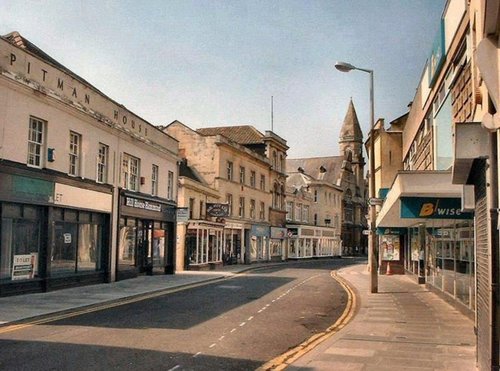
Silver Street, Trowbridge

Trowbridge (148 Pictures)

a Historic Market Town in the county of Wiltshire (17.4 miles, 28.0 km, direction W)

Trowbridge is a historic town crammed with attractive stone buildings. It originated as a settlement along the Biss and flourished from the wool and weaving trades and from these periods there remain many magnificent merchant houses...
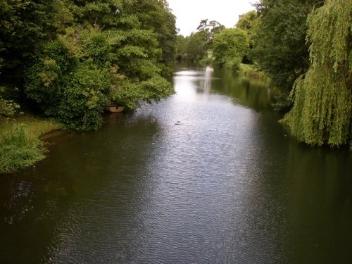
The River Avon through Monkton Park, Chippenham

Chippenham (84 Pictures)

a Historic Market Town in the county of Wiltshire (17.5 miles, 28.2 km, direction NW)

Chippenham is a large historic market town in northwest Wiltshire, England, that was established on a crossing of the River Avon. It is believed that some form of settlement has.....
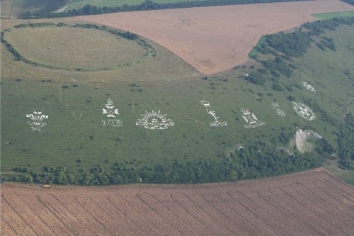
Fovant Badges, Wiltshire.  - Taken from the air in July 2006

Fovant (5 Pictures)

in the county of Wiltshire (18.0 miles, 28.9 km, direction SW)

Fovant is most noted for its dramatic hillside where huge regimental badges are carved into the chalk downs and clearly seen from the road...
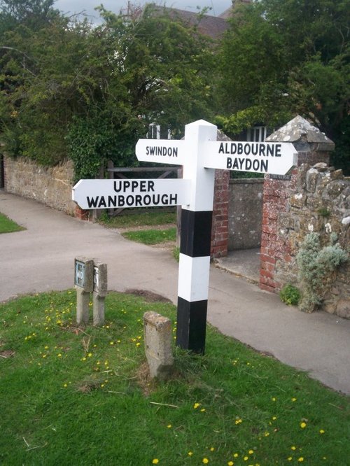
Swindon Borough Council guidepost at Lower Wanborough, Wiltshire

Wanborough (2 Pictures)

in the county of Wiltshire (18.0 miles, 29.0 km, direction N)

Historically this is an old village with a history of Saxons and Romans, it was then a village of some importance, unlike today when it has been almost swallowed up by the urban sprawl of Swindon, Wiltshire's largest industrial town...
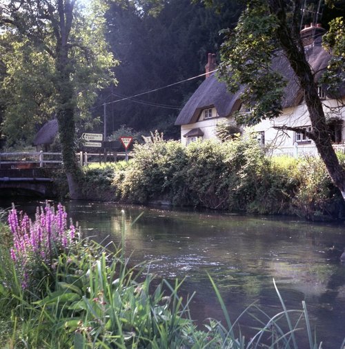
River Test at Wherwell, Hants

Wherwell (5 Pictures)

in the county of Hampshire (18.1 miles, 29.1 km, direction SE)

This enchanting little village boasts a host of thickly thatched, black and white, half timbered cottages,and has a bit of a bloody history...

Recommended attractions near Upavon

A picture of Stonehenge

Stonehenge (173 Pictures)

(8.0 miles, 12.8 km, direction S)

Stonehenge is one of the most famous prehistoric monuments in the world and one of England's most iconic landmarks, consisting.....
Ludgershall Castle, Wiltshire

Ludgershall Castle (10 Pictures)

(8.4 miles, 13.5 km, direction E)

Romantic, ruined motte and bailey castle, with building works in stone. Parts of the castle date to the 12th-century, it was.....
Avebury Ring, Wiltshire

Avebury Ring (61 Pictures)

(9.0 miles, 14.5 km, direction N)

This is the largest and one of the most spectacular stone circles in the world, it certainly eclipses Stonehenge, for not only is.....
Silbury Hill - ancient burial ground

Silbury Hill (20 Pictures)

(9.0 miles, 14.6 km, direction N)

There are many fanciful theories about Silbury Hill, the massive conical hill described as the highest artificial mound in.....
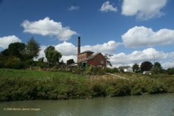
A picture of Crofton Beam Engines

Crofton Beam Engines (2 Pictures)

(9.4 miles, 15.1 km, direction NE)

..

Entrance to Avebury Manor, Wiltshire

Avebury Manor & Garden (12 Pictures)

(10.0 miles, 16.0 km, direction N)

Avebury Manor is a 16th century manor house built on the site of an old monastery. The rich interior of the house shows original.....
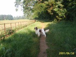
The public walkway alongside the golf course at Bowood Estate, Nr. Chippenham, Wiltshire

Bowood House & Gardens (12 Pictures)

(13.6 miles, 21.9 km, direction NW)

..

Westbury White Horse

Bratton Camp & White Horse (4 Pictures)

(14.7 miles, 23.7 km, direction W)

..

Wilton House, Salisbury

Wilton House (19 Pictures)

(15.3 miles, 24.6 km, direction S)

..

Mompesson House, Salisbury, Wiltshire

Mompesson House (2 Pictures)

(15.6 miles, 25.2 km, direction S)

Elegant and spacious 18th-century house in the Cathedral Close...

A picture of Salisbury Cathedral

Salisbury Cathedral (223 Pictures)

(15.8 miles, 25.4 km, direction S)

Salisbury Cathedral's graceful spire rises to an elegant 404 feet, it is the tallest cathedral spire in England, and can be seen.....
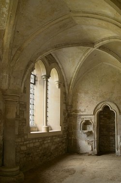
Cistery at Lacock Abbey

Lacock Abbey (97 Pictures)

(15.8 miles, 25.5 km, direction NW)

Lacock is one of the most beautiful villages in England, with houses dating from the 15th-century to the 18th-century. At the.....

Fovant Badges, Wiltshire.  - Taken from the air in July 2006

Fovant Badges (6 Pictures)

(18.1 miles, 29.1 km, direction SW)

..

Longstock Water Gardens, Longstock, Hampshire

Longstock Park Water Garden (1 Pictures)

(18.3 miles, 29.4 km, direction SE)

..

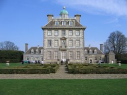
A picture of Ashdown House

Ashdown House (1 Pictures)

(19.2 miles, 30.8 km, direction NE)

..

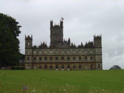
Highclere Castle

Highclere Castle (32 Pictures)

(19.4 miles, 31.3 km, direction E)

This was once a rather plain building until Sir Charles Barry turned it into the matchless beauty we see today. A place of rare.....
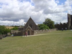
Farleigh Hungerford Castle

Farleigh Hungerford Castle (24 Pictures)

(20.6 miles, 33.2 km, direction W)

In 1383, the then Speaker of the House of Commons, Sir Thomas Hungerford had to be pardoned for building Farleigh Hungerford.....
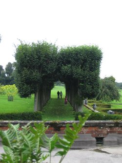
Avenue of Trees

Mottisfont Abbey & Gardens (71 Pictures)

(21.1 miles, 33.9 km, direction SE)

Mottisfont Abbey is beautifully set on green lawns amidst vast old trees, it is bounded on one side by the rich water-meadows of.....
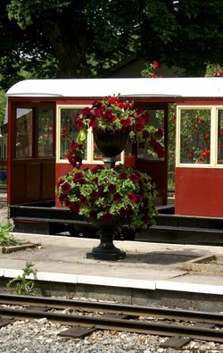
On the platform.

Longleat House & Safari Park (170 Pictures)

(21.9 miles, 35.2 km, direction W)

On entering the great grounds of Longleat House through the entrance known as "Heaven's Gate" visitors are immediately struck by.....
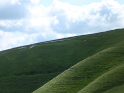
A picture of Vale of White Horse

Vale of White Horse (8 Pictures)

(22.2 miles, 35.7 km, direction N)

The beautiful Vale of the White Horse is the region lying between the River Thames and the Berkshire Downs. It is an area.....


All attractions in Upavon
All attractions in Wiltshire