Pictures of England

Search:

Historic Towns & Picturesque Villages

the norman carved arch at kilpeck church herefordshire

Kilpeck in the county of Herefordshire

Cullercoats harbour. Tyne & Wear

Cullercoats in the county of Tyne & Wear

A picture tour of Durness - in the county of Highland
Stone Bridge over Kervaig River, Cape Wrath
Stone Bridge over Kervaig River, Cape Wrath - by Karen Lee ©

PicturesOfEngland.com Member Login

You are not logged in.

Username:
Password:
   

Not registered yet? Click here to join!

Close

Stone Bridge over Kervaig River, Cape Wrath

The only road on the Cape was built in 1828 by the lighthouse commission across the moorland. The road is only accessible via the passenger ferry that crosses the Kyle of Durness. The was land originally owned by the Duke of Sutherland, but much of it was sold to the armed forces in the 1930s for use as a military training area, it is still used today by the MOD with live firing and bombing ranges. The very rough road is about 11 miles (18 km) long and is the only link with the lighthouse from the Kyle of Durness. It was built in 1828 when the lighthouse was constructed. The road (the U70) passes Ministry of Defence check-points and access to the cape during live firing exercises is prohibited, for obvious reasons!
Browse all Durness images Add to favourites

Photographer: © Karen Lee (Gallery)(15th May 2013)

5 stars

Comment by Vince Hawthorn(15th May 2013)

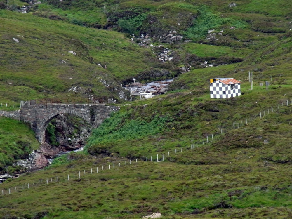
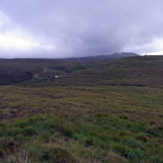
Interesting info Karen, the MOD do their thing in some of Britain's most splendid areas- I suppose it one way of preserving it in a strange sort of way. Good set all round here Karen.

pictures by this user   user profile   user contact

Please add a comment..

Please login to make a comment on this picture


Camera Make: RICOH Model: CX2
Exposure Program: Program, Focal length: 44.5 mm, Aperture: f 5.3, ISO: 176, Exposure time: 1/233 sec, Metering Mode: Multi-Segment, Exposure Bias: -0.7 EV
Date/Time Creation: August 5, 2012, 2:30 pm
ImageID:1174862, Image size: 3456 x 2592 pixels