Please login or click here to join.
Forgot Password? Click Here to reset pasword
 |
Towards the Western End of Ladybower, from the Snake Pass Ladybower extends about 3 miles along its west to east arm, widening from its western source, the River Alport. This view is part of this narrow area and is less commercial and less favoured by tourists. This picture appears in the following picture tours: |
 |
View North Across Ladybower with the Ashopton Road Bridge This view across Ladybower reservoir is to the north from the dam wall. The Ashopton Bridge marks the area where Ladybower Brook, the reservoir's eastern source enters. This picture appears in the following picture tours: |
 |
Ladybower Reservoir Viewed from the Fisheries Launch Ramp, towards the Snake Road Bridge This view of Ladybower Reservoir, is towards the west from the Fisheries Launch Ramp, to the Snake Road bridge This picture appears in the following picture tours: |
 |
Ladybower View From the Snake Pass This view across Ladybower is to the east from the Snake Road Café, just west of where the Lower Derwent Reservoir runs into Ladybower. This picture appears in the following picture tours: 1 person has added this picture to their favourites |
 |
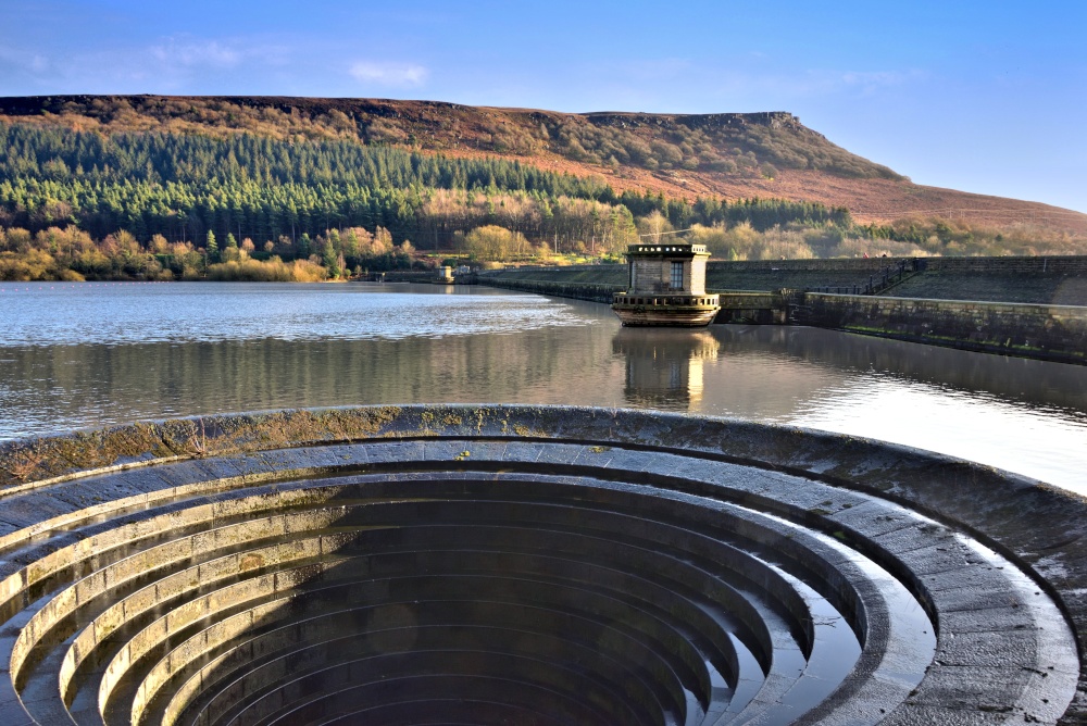
Ladybower's Western Bellmouth Drain (Plughole) with Bamford Edge Above Ladybower's dam wall is to the south of the reservoir and towards each end is a bellmouth drain, known colloquially as Plugholes. These are for overflow protection, so only come into use following heavy rainfall. Above the reservoir is Bamford Edge, which provides a spectacular viewpoint for those able to make the climb. This picture appears in the following picture tour: |
 |
View North from Ladybower's Dam Wall, as Evening Approaches Another northwards view from Ladybower's dam wall, this one including one of the Control Towers, from where the sluices are operated to draw down the water level. This image was taken as evening approached and the golden colours began to show. This picture appears in the following picture tours: |