Please login or click here to join.
Forgot Password? Click Here to reset pasword
 |
Loughrigg Fell Ambleside The fell is surrounded by an unusual amount of open water. To the north the River Rothay flows through Grasmere and Rydal Water before bending around the eastern side of Loughrigg. On the southern flank the River Brathay runs from Elter Water and is also fed by the outfall from Loughrigg Tarn. This picture appears in the following picture tour: Camera Make: Canon� Model: Canon EOS 40D� |
 |
Loughrigg Fell, Ambleside The fell is surrounded by an unusual amount of open water. To the north the River Rothay flows through Grasmere and Rydal Water before bending around the eastern side of Loughrigg. On the southern flank the River Brathay runs from Elter Water and is also fed by the outfall from Loughrigg Tarn. This picture appears in the following picture tours: Camera Make: Canon� Model: Canon EOS 40D� 1 person has added this picture to their favourites |
 |
Loughrigg Fell Ambleside The fell is surrounded by an unusual amount of open water. To the north the River Rothay flows through Grasmere and Rydal Water before bending around the eastern side of Loughrigg. On the southern flank the River Brathay runs from Elter Water and is also fed by the outfall from Loughrigg Tarn. This picture appears in the following picture tour: Camera Make: Canon� Model: Canon EOS 40D� |
 |
Loughrigg Fell, Ambleside The fell is surrounded by an unusual amount of open water. To the north the River Rothay flows through Grasmere and Rydal Water before bending around the eastern side of Loughrigg. On the southern flank the River Brathay runs from Elter Water and is also fed by the outfall from Loughrigg Tarn. This picture appears in the following picture tours: Camera Make: Canon� Model: Canon EOS 40D� |
 |
Loughrigg Fell Ambleside The fell is surrounded by an unusual amount of open water. To the north the River Rothay flows through Grasmere and Rydal Water before bending around the eastern side of Loughrigg. On the southern flank the River Brathay runs from Elter Water and is also fed by the outfall from Loughrigg Tarn. This picture appears in the following picture tour: Camera Make: Canon� Model: Canon EOS 40D� |
 |
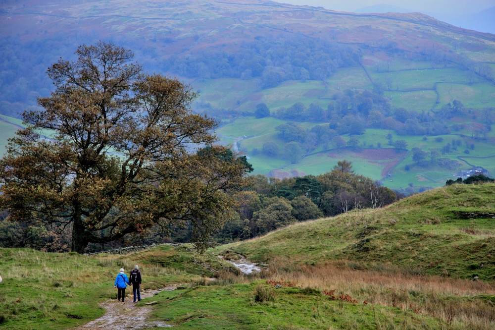
Loughrigg Fell, Ambleside Loughrigg Fell is a hill in the central part of the English Lake District. It stands on the end of the long ridge coming down from High Raise over Silver How towards Ambleside, and is separated from its neighbours by the depression of Red Bank. This picture appears in the following picture tours: Camera Make: Canon� Model: Canon EOS 40D� 1 person has added this picture to their favourites |
 |
Great Langdale Great Langdale is a valley in the Lake District National Park in North West England, the epithet Great distinguishing it from the neighbouring valley of Little Langdale. Langdale is also the name of a valley in the Howgill Fells, elsewhere in Cumbria. This picture appears in the following picture tour: Camera Make: Canon� Model: Canon EOS 40D� |
 |
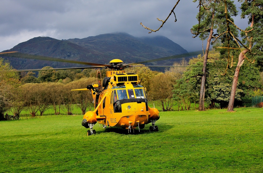
Sea King Helicopter on exercise in Ambleside Ambleside is a town in Cumbria, in North West England. Historically in Westmorland, it is situated at the head of Windermere, England's largest natural lake. The town is within the Lake District National Park. This Sea King Helicopter was on exercise in the area. This picture appears in the following picture tour: Camera Make: Canon� Model: Canon EOS 40D� |
 |
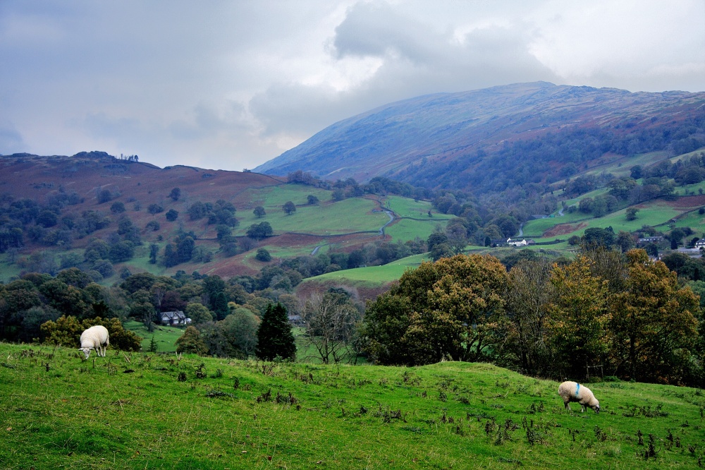
Loughrigg Fell, Ambleside Loughrigg Fell is a hill in the central part of the English Lake District. It stands on the end of the long ridge coming down from High Raise over Silver How towards Ambleside, and is separated from its neighbours by the depression of Red Bank. This picture appears in the following picture tours: Camera Make: Canon� Model: Canon EOS 40D� |
 |
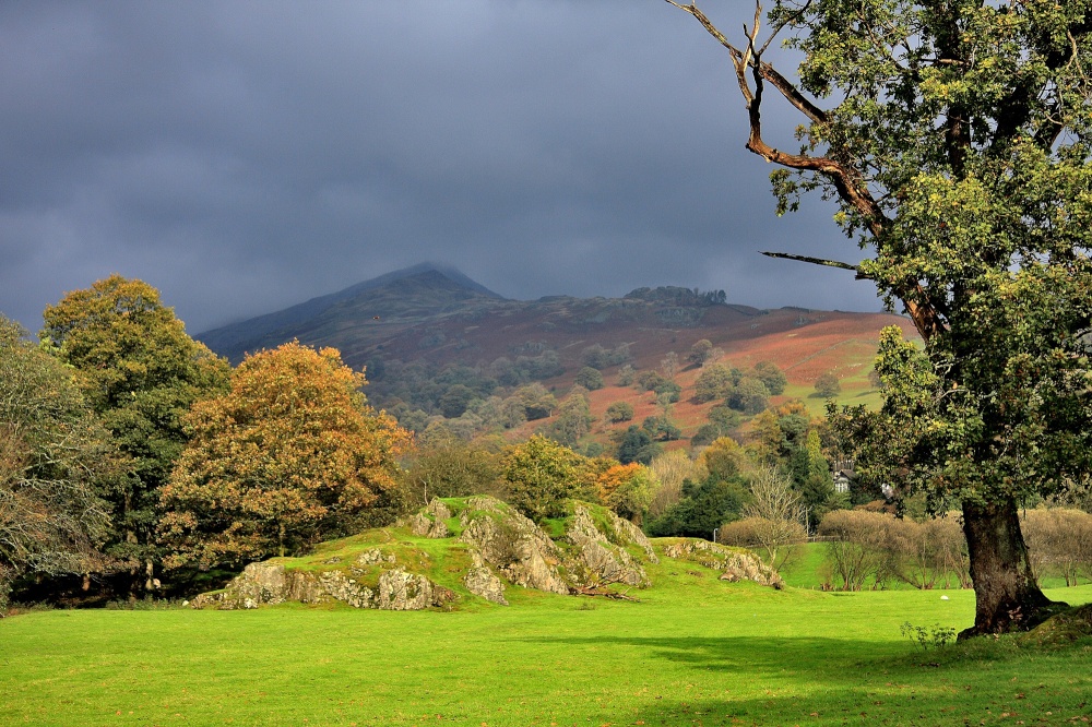
Ambleside Landscape Ambleside is a town in Cumbria, in North West England. Historically in Westmorland, it is situated at the head of Windermere, England's largest natural lake. This picture appears in the following picture tours: Camera Make: Canon� Model: Canon EOS 40D� |