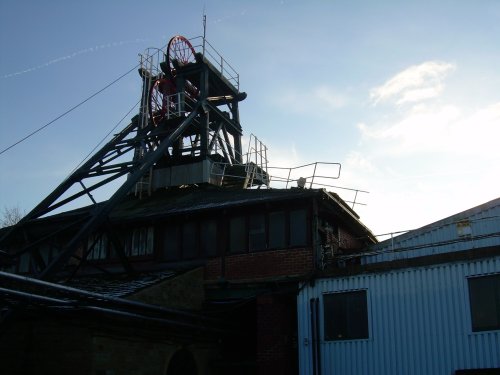
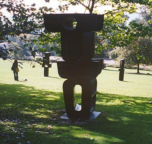
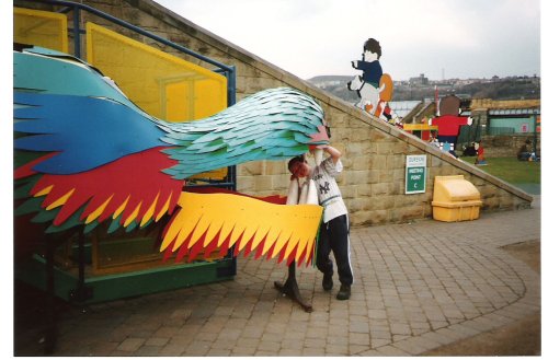
Pictures of Mirfield
About Mirfield
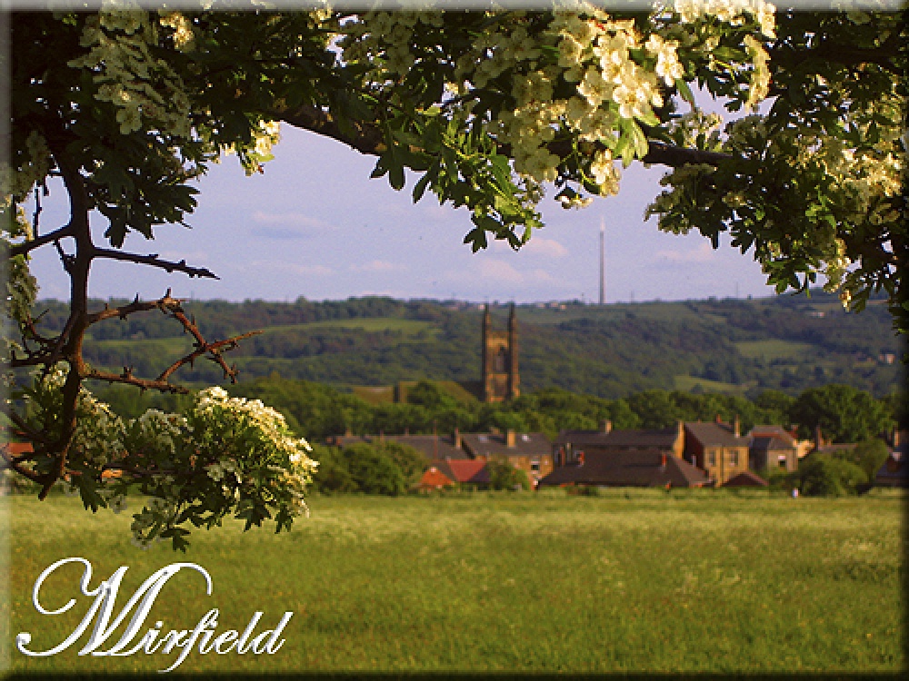
Mirfield is a residential town situated between Huddersfield and Dewsbury. It has a long history, and associations with Robin Hood, the Luddites, and the Bronte sisters. More latterly, the town was the home of that fine actor Patrick Stewart.
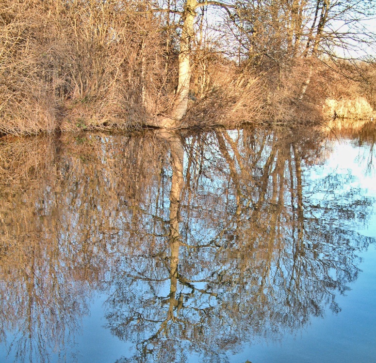
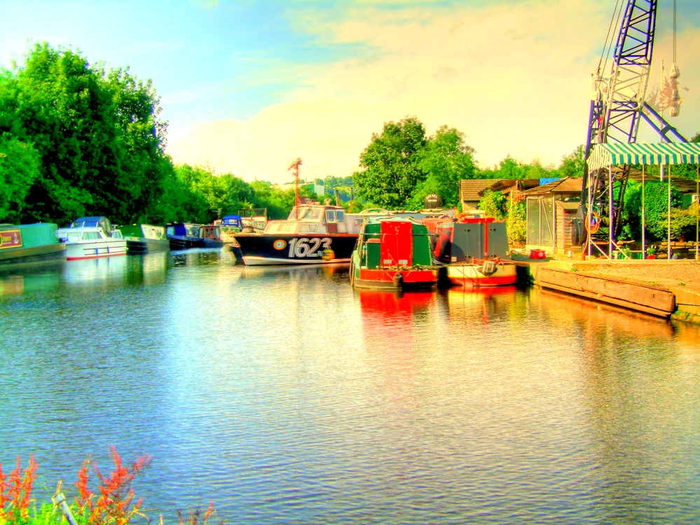
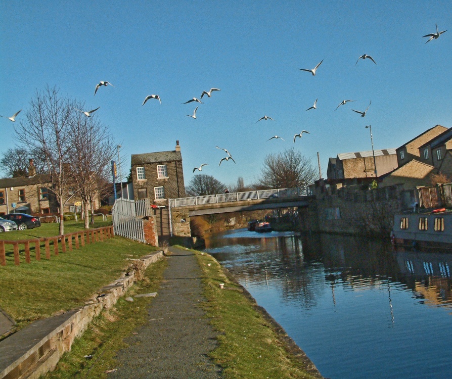
The town rests close to the banks of the River Calder. In the 18th-century a canal was constructed through the town, this caused a flurry of mill buildings to spring up making Mirfield a centre for the textile industry. These have long since disappeared giving way to the flourishing pastime of lazy days spent drifting along canal waters in a gaily painted narrow boat. There really is not much to beat "messing about on the river" especially when its banks are filled with reeds and wildlife. At Shepley Bridge there is a marina where pleasure boats take you through fine scenery away from the crowded town.
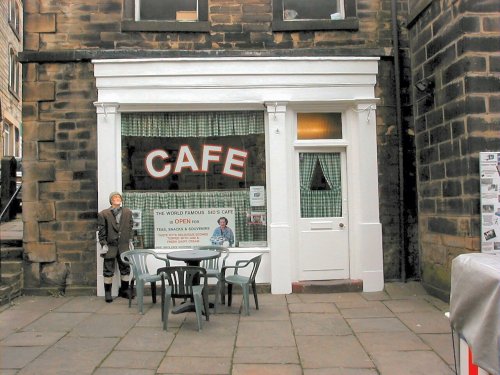
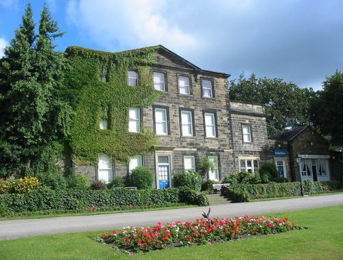
Mirfield has a busy town centre with a few memorable sights, the three storey Black Bull pub is one, this gracious building dominates the town's small market place. There is a pleasant Library building surrounded by peaceful flower filled gardens, and at Ings Grove Park there is a majestic memorial to the dead of World War I, this was constructed in 1921. The Three Nun's is an attractive pub building dating back to around 1900, it is believed to be built on the site of an earlier inn of the 15th-century. Another famous watering hole is The Shoulder of Mutton, and the Old Bank Working Men's Club is an attractive building, fronted by a well manicured bowling green.
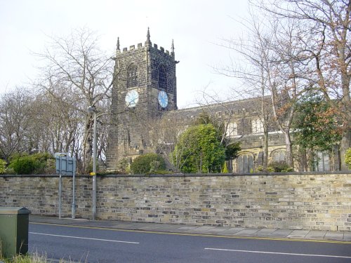
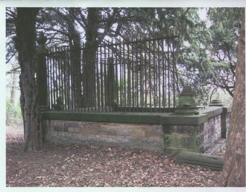
The town's parish church is dedicated to St.Mary the Virgin, it was consecrated in 1871 and was designed by architect, Sir Gilbert Scott. This is an attractive church building with a lofty tower adorned by four graceful pinnacles. In the churchyard visitors can see the gravestones of the Ingham family who owned nearby Blake Hall (C.1745) which was demolished in 1954. Anne Bronte was the families governess in 1839. There are other graves and tombs, almost all belonging to local families.
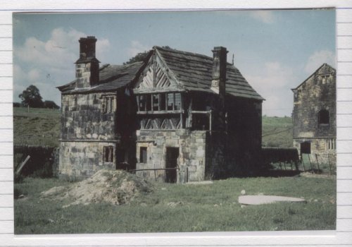
Ghostly tales exist of Whitley Hall, of which all that remains is the summer house known as Black Dick's Tower. Black Dick was knighted by James I, he was actually Sir Richard Beaumont, who later became a highwayman. He died in 1631 and is said to haunt the area every July 5, when he is reputed to carry his head tucked underneath his arm!
Mirfield might be an urban residential area, but it certainly has atmosphere and a wealth of things to see.
Planning a visit? Please see below for other recommended towns, attractions and recommended hotels nearby.
Distances and directions below are approximate. For true driving distances please visit the AA Route Planner
Recommended attractions near Mirfield
| Robin Hood's Grave | (1.8 miles, 2.9 km, direction W) | Pictures |
| Kirklees Priory | (2.0 miles, 3.2 km, direction NW) | Pictures |
| Dewsbury Museum | (2.1 miles, 3.4 km, direction E) | Pictures |
| National Coal Mining Museum | (3.8 miles, 6.0 km, direction SE) | Pictures |
| Shibden Valley | (6.1 miles, 9.8 km, direction NW) | Pictures |
| Shibden Hall | (6.6 miles, 10.7 km, direction NW) | Pictures |
| Yorkshire Sculpture Park | (7.0 miles, 11.3 km, direction SE) | Pictures |
| Eureka! Museum for Children | (7.0 miles, 11.3 km, direction W) | Pictures |
| Pugneys Country Park | (7.9 miles, 12.6 km, direction E) | Pictures |
| National Museum of Photography, Film & Television | (8.0 miles, 12.9 km, direction N) | Pictures |
| Wakefield Cathedral | (8.2 miles, 13.2 km, direction E) | Pictures |
| Sandal Castle | (8.5 miles, 13.8 km, direction E) | Pictures |
| Bradford Cathedral | (8.6 miles, 13.8 km, direction N) | Pictures |
| Cannon Hall Country Park | (8.7 miles, 14.1 km, direction SE) | Pictures |
| Newmillerdam Country Park | (9.0 miles, 14.5 km, direction E) | Pictures |
All attractions in MirfieldAll attractions in West YorkshireComplete A to Z of attractions in EnglandRecommended towns near Mirfield
Almondbury, in the county of West Yorkshire (4.3 miles, 6.9 km, direction SW)
Almondbury is one of the oldest and prettiest of the villages dominating the edge of the Pennine moors.
Info | Pictures | Hotels
Huddersfield, in the county of West Yorkshire (4.3 miles, 7.0 km, direction SW)
Huddersfield is a lively and interesting town that offers a rich cultural experience.
Info | Pictures | Hotels
Golcar, in the county of West Yorkshire (6.8 miles, 10.9 km, direction SW)
Sturdily built of stone, this small hill town is perched north of the River Colne and the now restored Huddersfield Narrow Canal.
Info | Pictures | Hotels
Halifax, in the county of West Yorkshire (7.4 miles, 11.8 km, direction NW)
Halifax is an industrial city close to the famous Pennines and the route of the Pennine Way in what is known as Yorkshire's "Bronte" country.
Info | Pictures | Hotels
Deanhouse, in the county of West Yorkshire (7.8 miles, 12.6 km, direction SW)
Info | Pictures | Hotels
Wakefield, in the county of West Yorkshire (7.8 miles, 12.6 km, direction E)
Wakefield was the capital of Yorkshire's woollen industry for more than 700 years, it was an important weaving and dying centre as far back as the 13th century.
Info | Pictures | Hotels
Holmfirth, in the county of West Yorkshire (8.3 miles, 13.4 km, direction SW)
This is a place that will forever be associated with the gentle, romantic comedy "Last of the Summer Wine" which has graced our TV screens for more than a quarter of a century.
Info | Pictures | Hotels
Sowerby Bridge, in the county of West Yorkshire (9.1 miles, 14.6 km, direction W)
Surrounded by the dramatic scenery of the South Pennines, with the town's gentle scenery being enhanced by the River Calder and the River Ryburn on which the town stands.
Info | Pictures | Hotels
Leeds, in the county of West Yorkshire (10.3 miles, 16.6 km, direction NE)
In the middle ages Leeds was a wool centre and it flourished. The sheep on the Yorkshire moors providing the wool for the cottage...
Info | Pictures | Hotels
Marsden, in the county of West Yorkshire (11.1 miles, 17.8 km, direction SW)
Marsden offers visitors a wealth of heritage, particularly in association with the town's expansion which came about during the heady days of the Industrial Revolution.
Info | Pictures | Hotels
Saltaire, in the county of West Yorkshire (11.4 miles, 18.4 km, direction N)
This perfectly preserved village originated as an answer to Bradford's 'dark satanic mills', it was the brain-child of...
Info | Pictures | Hotels
Barnsley, in the county of South Yorkshire (12.5 miles, 20.2 km, direction SE)
This is an attractive town laid out along the River Dearne, it is enclosed by spectacular Pennine scenery and is an ideal place from which to discover the limestone hills and fresh green valley's of the Yorkshire Dales.
Info | Pictures | Hotels
Harden, in the county of West Yorkshire (13.3 miles, 21.4 km, direction NW)
Harden lies in the famous countryside area between Cullingworth and Bingley surrounded by rivers and meadows. It is a favoured commuter base for those working in nearby Bradford.
Info | Pictures | Hotels
Hebden Bridge, in the county of West Yorkshire (13.7 miles, 22.0 km, direction W)
This beautiful old town grew up close to the River Hebden at the point where a stone bridge was built as part of a pack-horse route in the 16th century.
Info | Pictures | Hotels
Featherstone, in the county of West Yorkshire (14.0 miles, 22.5 km, direction E)
Featherstone is a large town lying between Wakefield and Pontefract in West Yorkshire. For the past couple of centuries the town was known chiefly for its coal mines.
Info | Pictures | Hotels
All towns in West YorkshireComplete A to Z of towns in EnglandNearby travel help
| Mirfield Station | (0.7 miles, 1.1 km) |
| Ravensthorpe Station | (1.7 miles, 2.8 km, direction E) |
| M62 Junction 25 | (2.4 miles, 3.8 km, direction NW) |
| M62 Junction 26 (Chain Bar Roundabout) | (4.1 miles, 6.5 km, direction N) |
| Leeds Bradford International Airport | (12.8 miles, 20.7 km, direction N) |
| Sheffield City Airport | (23.6 miles, 38.1 km, direction SE) |
| Mirfield to London | (164.0 miles, 263.9 km, direction SE) |
Hotels & Accommodation in Mirfield
| Hotel Name | Approximate distance from Mirfield center |
| Woolpack Country Inn | (2.0 miles, 3.3 km, direction SE) |
| Healds Hall Hotel | (2.3 miles, 3.6 km, direction N) |
| The Black Horse Inn | (2.7 miles, 4.3 km, direction NW) |
| Holiday Inn Leeds Brighouse | (2.8 miles, 4.6 km, direction NW) |
| Alder House Hotel | (3.0 miles, 4.8 km, direction NE) |
| Days Inn Hotel Bradford (Leeds) | (3.1 miles, 4.9 km, direction NW) |
| The Whitcliffe Hotel | (3.2 miles, 5.2 km, direction N) |
| Gomersal Lodge Hotel | (3.3 miles, 5.4 km, direction N) |
| Waterfront Lodge | (3.7 miles, 5.9 km, direction NW) |
| Heath Cottage Hotel Limited | (3.8 miles, 6.0 km, direction E) |
| All hotels in Mirfield |