Please login or click here to join.
Forgot Password? Click Here to reset pasword
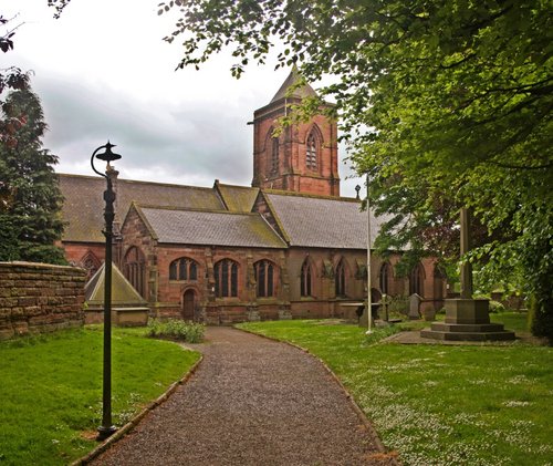
Attractive large village which developed as a coaching stop on the main London to Liverpool road during the 17th and 18th-centuries...
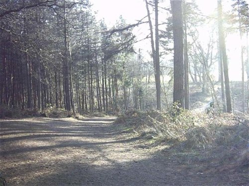
The village of Delamere can be found in the midst of beautiful Cheshire countryside in an area of forests and rivers. It is perhaps best known as the home of the magnificent.....
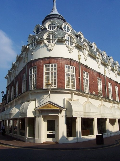
Today, Nantwich is a busy bustling place of business and commerce that still manages to retain its unique 'Elizabethan' flavour...
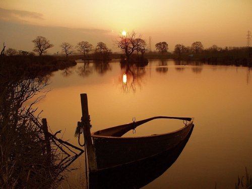
Crewe has always been associated with its great railway junction, and it is from this point in the "hey-day" of rail travel that Crew began to prosper...

Helsby is famous for Helsby Hill which rises to a height of 462ft, and has traces of an Iron-Age camp...

In the medieval times Frodsham was an important port and borough belonging to the earls of Chester...
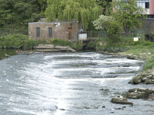
Chester, the county town of Cheshire, is one of the oldest and most complete walled cities with fantastic architecture and history...

Its name derives from Canute, the great Danish King who is said to have journeyed this way when he quite possibly forded the local stream...
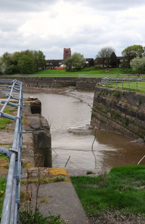
There is much that is Victorian about Widnes, this can be seen in the splendid public library building and the park named after a great Queen and Empress...
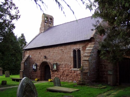
Shocklach is a small rural hamlet set beside a tributary of the River Dee between Wrexham and Nantwich. It is a lovely agricultural area of quiet lanes stringing together pretty.....

A walk around the village reveals pleasant black and white timber framed properties, delightful cottages, and buildings of the Victorian era when the canal system and railways came to the area...
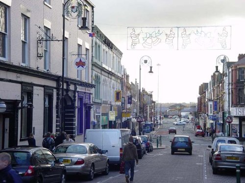
This town can claim to have something made for Queen Victoria, which was famously rejected by her - this is the pair of Golden Gates made in 1850 for Sandringham House...
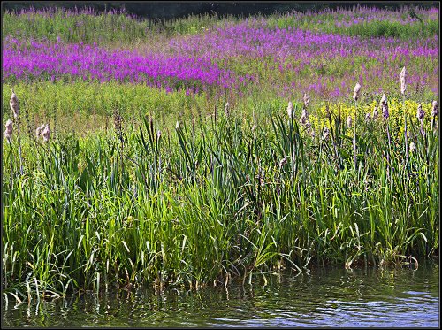
The picturesque village of Lymm is situated in the the county of Cheshire, England, and was mentioned in the Doomsday book of 1086. It's name is of Celtic origins and means "Place.....
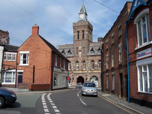
This lively market town stands on a bend of the River Dane, it quite possibly takes its name from the Celtic word "congle" which in English means "a bend"...
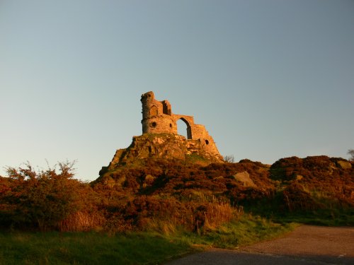
The sheer scale of the height of this village with the quaint sounding name has made it famous, for it is believed that on a clear day the hill is visible to no less than five counties...

Alderley Edge is a popular tourist spot in the county of Cheshire, consisting of a prominent 'edge' or sandstone ridge which is popular with walkers and offers stunning views. You.....

First developed as a quiet hamlet on the edge of the sweeping Cheshire Plain, where life went quietly on...
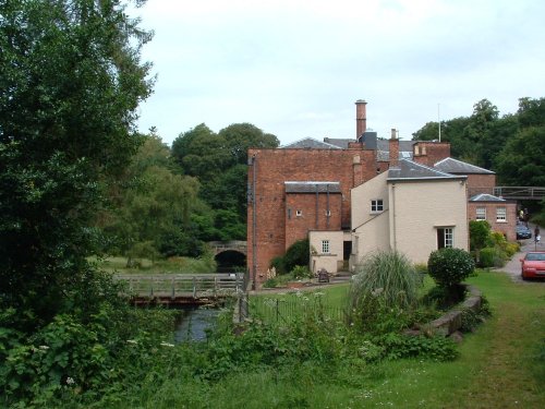
The village of Styal stands on the River Bollin close to the town of Wilmslow. It is renowned for Quarry Bank Mill and the surrounding Styal Estate with houses once occupied by the mill workers...
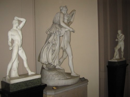
The centre-piece of the village is the Lady Lever Art Gallery and Museum, this was built as a memorial to Lady Lever and was opened in 1922...

Having transcended the Industrial Revolution and shaken off its old image, St.Helens is rapidly developing into a place of culture and style...

..
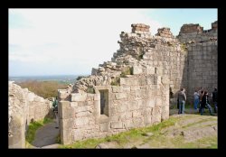
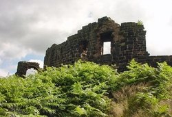
Set on a lonely hillside along the run of the Peckforton Hills, lie the ruins of Beeston Castle. It was built in the.....

Green lungs do not come more beautiful than the densely tree populated Delamere Forest Park found in a haven of countryside, near.....
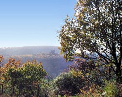
This modern day version of a 12th-century castle is set in the heart of the Cheshire Plains, an area which is scattered with.....

The Anderton Boat Lift is the world's first boat lift, and the only working one in the UK..

Once part of a large country estate, Marbury Parks history dates back to AD 1200. Guided walks are on offer all year round, with.....
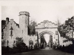
The village of Cholmondeley is famous for its fascinating, romantic castle, built in 1801 in the Gothic style. Built as the seat.....

Arley Hall featured recently in the BBC's religious programme Songs of Praise. It's illustrious owner, Lord Ashbrook was seen.....
..
..
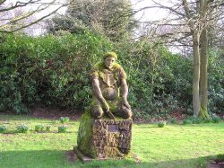
Runcorn is almost entirely encircled by two canals, the Bridgewater Canal built during the middle of the 18th century and the.....
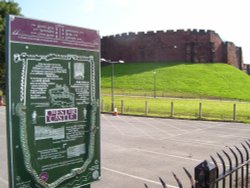
The extensive ruins of Chester Castle can be found on a hillside overlooking the River Dee in close proximity to where the county.....
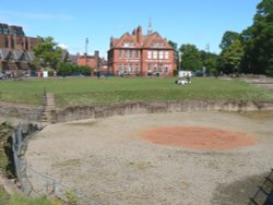
It is almost impossible to list the magnificent Roman treasures this town possesses. Its extraordinary Roman Amphitheatre is but.....
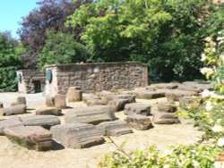
The Roman Garden, thus called is a somewhat misleading name. It was certainly not here in Roman times, but is a left-over from.....

Chester Zoo makes a fascinating day out for everyone at whatever age. For mostly we all love creatures of the wild and enjoy.....
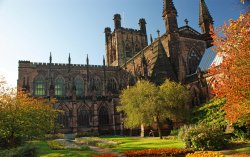
A Minster was built here in the 10th-century to hold the remains of St.Werburgh, a Mercian princess who died in 707......
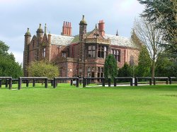
Walton Hall Gardens was originally part of a much larger country estate purchased in 1812 by the Greenall family, famous for.....

For over 40 years the giant Lovell Telescope at Jodrell Bank has been a familiar feature of the Cheshire landscape and an.....

..

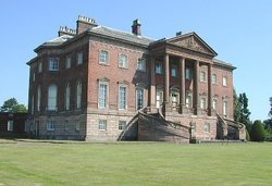
A day at Tatton Park has much to offer, its two historic houses, the Mansion and Tudor Old Hall, are set in 1000 acres of.....