Pictures of England

Search:

Historic Towns & Picturesque Villages

Recommended Towns & Villages near Warwick Bridge

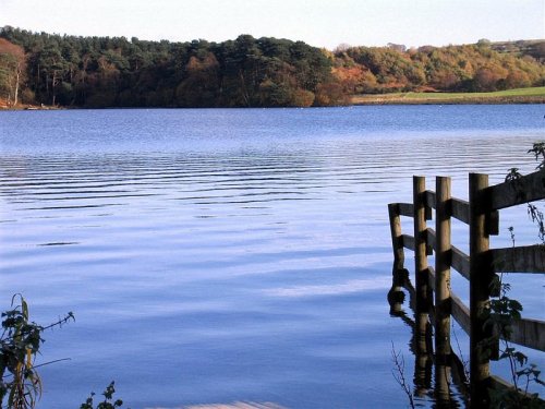
A picture of Talkin Tarn Country Park

Brampton (26 Pictures)

in the county of Cumbria (4.3 miles, 6.9 km, direction NE)

One of the loveliest features of Brampton is its octagonal Moot Hall, built by the Earl of Lancaster in 1817...
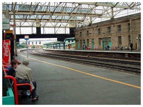
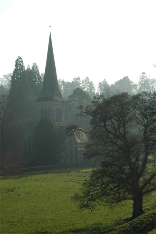
ST MICHAELS CHURCH, CARLISLE, CUMBRIA

Carlisle (33 Pictures)

in the county of Cumbria (4.5 miles, 7.3 km, direction W)

For over 1700 years this town occupied an important position on the Scottish-English border, few town's have experienced such turbulent times, but strangely Carlisle has little.....
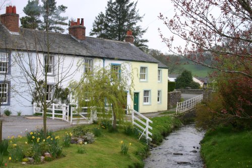
Springtime in Caldbeck

Caldbeck (8 Pictures)

a Picturesque Village in the county of Cumbria (14.3 miles, 22.9 km, direction SW)

An old brewery stands beside the Caldbeck - a tribute to the cold clear waters which gave the village its name. Caldbeck, which means 'cold stream' in Old Norse, grew up where.....
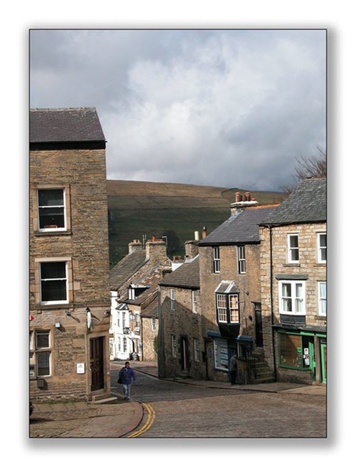
Alston, Cumbria

Alston (32 Pictures)

a Historic Market Town in the county of Cumbria (16.5 miles, 26.6 km, direction SE)

At a height of over 1,000 feet in the far reaches of the Pennines, this is one of England's highest market towns. Alston is a lively bustling place of steeply rising narrow.....

Around St Andrews Church, Penrith, Cumbria

Penrith (49 Pictures)

a Historic Market Town in the county of Cumbria (17.0 miles, 27.4 km, direction S)

..

The Church at Whitfield, Northumberland

Whitfield (2 Pictures)

a Picturesque Village in the county of Northumberland (18.9 miles, 30.4 km, direction E)

This is a picturesque village lying amongst sprawling open countryside criss crossed by dancing streams, tributaries of the River West Allen...
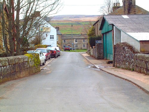
Garrigill in Cumbria

Garrigill (13 Pictures)

in the county of Cumbria (19.4 miles, 31.2 km, direction SE)

This delightful place can be found on the banks of the South Tyne River, it is also on the route of the arduous Pennine Way surrounded by numerous beauty spots. The village.....
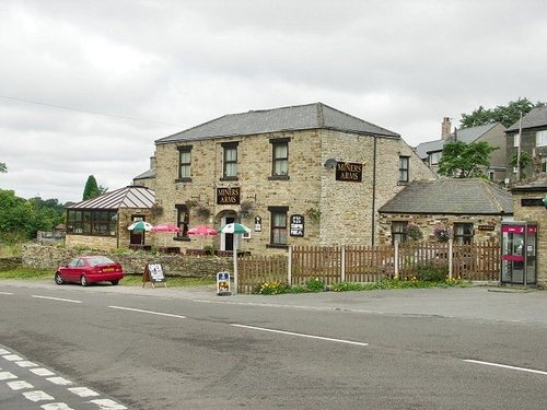
Mining Remains, Nenthead, Cumbria

Nenthead (14 Pictures)

a Picturesque Village in the county of Cumbria (20.8 miles, 33.4 km, direction SE)

Nestling beside the sparkling River Nent, Nenthead lies on Alston Moor, in a lonely remote North Pennine Area of Outstanding Natural Beauty, between the pleasant market town of Alston and the Killhope lead mining museum...

Lake Bassenthwaite from the west bank.

Bassenthwaite (39 Pictures)

in the county of Cumbria (21.5 miles, 34.6 km, direction SW)

This is the most northerly of all the lakes, it resembles beaten silver nestling between the sun dappled heights of soaring fells and mountains. Almost at its shores are Barf,.....

Threlkeld Village, Cumbria, with Blencathra (Halls Fell and summit)

Threlkeld (12 Pictures)

in the county of Cumbria (21.9 miles, 35.2 km, direction SW)

This is a magical area of sparking lakes, tumbling waterfalls, high peaks and vast moorland regions...
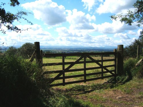
View above Dufton

Dufton (7 Pictures)

in the county of Cumbria (23.8 miles, 38.2 km, direction SE)

..

Robin of the Lakes

Keswick (465 Pictures)

a Historic Market Town in the county of Cumbria (24.4 miles, 39.2 km, direction SW)

Keswick is a pretty Market Town that nestles between the spectacular Skiddaw Mountains and the northern end of the serene Derwentwater Lake within the Lake District National Park.....
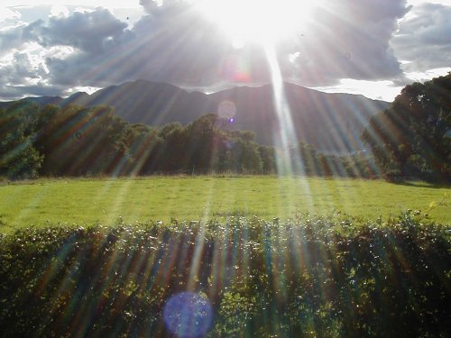
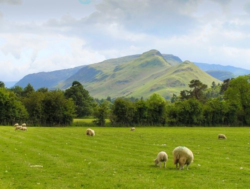
From Castlerigg Farm Campsite, looking towards Cat Bells. Lake District

Castlerigg (10 Pictures)

in the county of Cumbria (24.7 miles, 39.8 km, direction SW)

Castlerigg is a favoured destination for tourists, it is easily accessible from the market town of Keswick and is within easy reach of the snaking waters of the pretty River Greta, picturesque becks and fells...
Recommended attractions near Warwick Bridge

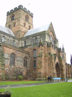
Carlisle Cathedral, Carlisle, Cumbria.

Carlisle Cathedral (17 Pictures)

(4.7 miles, 7.5 km, direction W)

..

Just before the snow arrived... -  - taken at Talkin Tarn country park

Talkin Tarn Country Park (26 Pictures)

(4.8 miles, 7.7 km, direction E)

This lovely country park occupies a magical landscape close to the historic market town of Brampton. The icy waters forming the.....
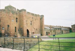
Looking back toward to inner entrance of Carslisle Castle

Carlisle Castle (9 Pictures)

(4.9 miles, 7.9 km, direction W)

Set in the scenic surroundings on the northern outskirts of Carlisle, the castle built by William Rufus in the late 11th century.....
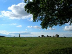
Long Meg & her Daughters (Maughanby Circle)- near Penrith, Cumbria

Long Meg & her Daughters (14 Pictures)

(13.7 miles, 22.0 km, direction SE)

The 12 foot high mass of sandstone known as Long Meg can be found close to a circle of smaller "daughter" stones in a spectacular.....
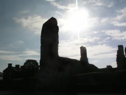
Penrith Castle in Penrith, Lake District at daybreak

Penrith Castle (13 Pictures)

(17.5 miles, 28.2 km, direction S)

..

Brougham Castle, Penrith, Cumbria

Brougham Castle (12 Pictures)

(17.9 miles, 28.8 km, direction S)

Coming Soon. Can you tell us about Brougham Castle? broughamcastle@picturesofengland.com..
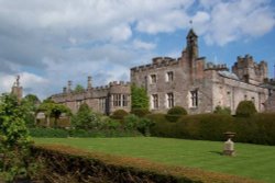
Dalemain House & Gardens, Penrith, Cumbria

Dalemain House & Gardens (19 Pictures)

(18.4 miles, 29.7 km, direction S)

..

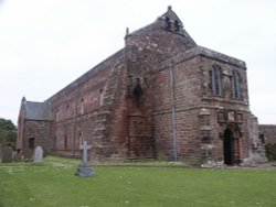
Holme Cultram Abbey, Abbey Town, Near Silloth, Cumbria

Holme Cultram Abbey (6 Pictures)

(18.9 miles, 30.4 km, direction W)

This was a Cistercian foundation of the 12th century of which the nave is now the parish Church of St.Mary, and although the.....
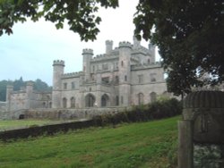
Lowther Castle with Norman Lowther from Manassas, VA - a direct descendant of Sir Richard Lowther.

Lowther Castle (17 Pictures)

(20.8 miles, 33.4 km, direction S)

..

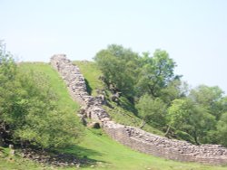
Hadrian's Wall

Hadrian's Wall & Housesteads Fort (36 Pictures)

(21.3 miles, 34.3 km, direction E)

Wild and evocative remains of the Roman Empire's most northerly defences, with panoramic views. Roman barracks and some of the.....

A picture of Threlkeld Quarry and Mining Museum

Threlkeld Quarry and Mining Museum (2 Pictures)

(22.2 miles, 35.7 km, direction SW)

..

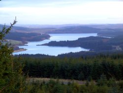
A picture of Kielder Water

Kielder Water (27 Pictures)

(23.1 miles, 37.1 km, direction NE)

..

Killhope Lead Mining Museum high in Upper Weardale. A desolate but magical place.

Killhope Lead Mining Museum (7 Pictures)

(23.3 miles, 37.5 km, direction E)

Killhope Lead Mining Museum keeps alive the counties lead mining traditions. This is a fully restored site of a working mine.....
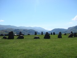
Castlerigg Stone Circle

Castlerigg Stone Circle (41 Pictures)

(23.7 miles, 38.1 km, direction SW)

The best time to view Castlerigg Stone Circle is that eyrie time when night is just giving way to dawn. It is then, with a.....
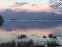
Derwentwater as the daylight starts to go

Derwentwater (424 Pictures)

(24.9 miles, 40.1 km, direction SW)

Derwentwater is one of 16 Lakes set within the Lake District National Park in Cumbria. It is one of the most northerly of the.....
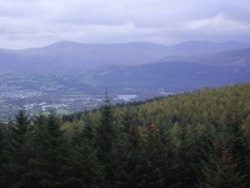
A picture of Whinlatter Forest Park

Whinlatter Forest Park (7 Pictures)

(26.3 miles, 42.4 km, direction SW)

If you happen to visit Keswick in Cumbria do not miss out on Whinlatter Forest Park, for this superb gift of nature is a real.....


All attractions in Warwick Bridge
All attractions in Cumbria