Please login or click here to join.
Forgot Password? Click Here to reset pasword
Whitehouse Farm, a property with a garden, is located in Hartington, 13 miles from Buxton Opera House, 15 miles from Chatsworth House, as well as 17 miles from Alton Towers. The 4-star vacation home is 27 miles from Trentham Gardens. The 6-bedroom vacation home is fitted with a kitchen with a dishwasher, and a bathroom with a shower and a washing machine. Offering free private parking, this 4-star vacation home also features free WiFi throughout the property. Capesthorne Hall is 29 miles from the vacation home, while FlyDSA Arena is 30 miles from the property. The nearest airport is Manchester Airport, 34 miles from Whitehouse Farm.

in the county of Derbyshire
(1.0 miles, 1.6 km)Hartington is a small village centred around a medieval market place, with attractive 18th and 19th century buildings...
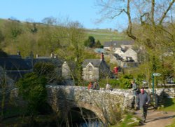
in the county of Derbyshire
(3.1 miles, 4.9 km, direction S)Milldale is a glorious stone village lying in scenic countryside towards the southern fringes of the Peak District National Park...

a Picturesque Village in the county of Derbyshire
(4.9 miles, 7.9 km, direction E)This unspoilt small peakland village stands 950 feet above sea level offering stunning views of the peakland countryside. It is a very tradional village, which had its own fire.....

a Picturesque Village in the county of Derbyshire
(5.4 miles, 8.8 km, direction S)A pretty and popular village which includes a wonderful park which is part of Ilam Hall. Enjoy wonderful walks through the park and the lovely river Manifold. The village is set.....

in the county of Derbyshire
(5.7 miles, 9.2 km, direction E)Today, this graceful village with its sweeping main street and quiet little alleyways is a tourist destination of character and charm...

a Historic Market Town in the county of Derbyshire
(7.2 miles, 11.6 km, direction NE)Bakewell is the largest town in the Peak District National Park. It is an old town full of glowing stone houses and buildings that lend an air of ambience and overall warmth...

a Picturesque Village in the county of Derbyshire
(7.3 miles, 11.7 km, direction NE)The village was a centre for candle making, noted for lead mining and made famous by the discovery of Ashford marble which was first quarried by Henry Watson in 1748...
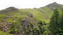
The River Dove flows through one of England's loveliest valleys. Though little more than a mile long, Dove Dale shows a variety.....
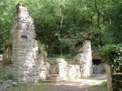
This is one of the Peak Districts hidden gems, not only is the scenery highly picturesque but the region is full of interesting.....
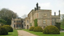
Dating from Jacobean times, Tissington Hall has been lived in by the FitzHerbert family for 500 years and is set in the beautiful.....
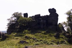
Robin Hood's Stride is a rocky outcrop overlooking the pretty village of Elton, in Derbyshire. By tradition the sole province of.....
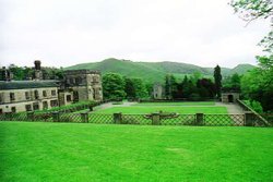
Running along both banks of the river Manifold, this is an area of beautiful open park and woodland with spectacular views.....
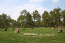
This wild eyrie stretch of moorland has an invigorating, yet gloomy feel to it and looking around at the barrows left from the.....
See all Whitehouse Farm reviews..
Please login to make a review