Please login or click here to join.
Forgot Password? Click Here to reset pasword
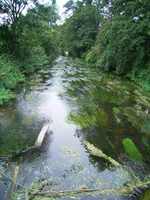
A wonderful historic village set in the beautiful Kent Downs, above the valley of the River Stour. The village's medieval square gives a real sense of history, with its stunning timber-framed buildings, ancient church and fantastic medieval castle...
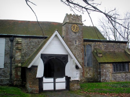
This is a pretty area full of natural wonders to be discovered on quiet walks or by taking a cycle ride along the paths of the many rivers...

Surrounded by a well-wooded landscape, this delightful village was first mentioned in the Doomsday Book, so we are assured of its long history...
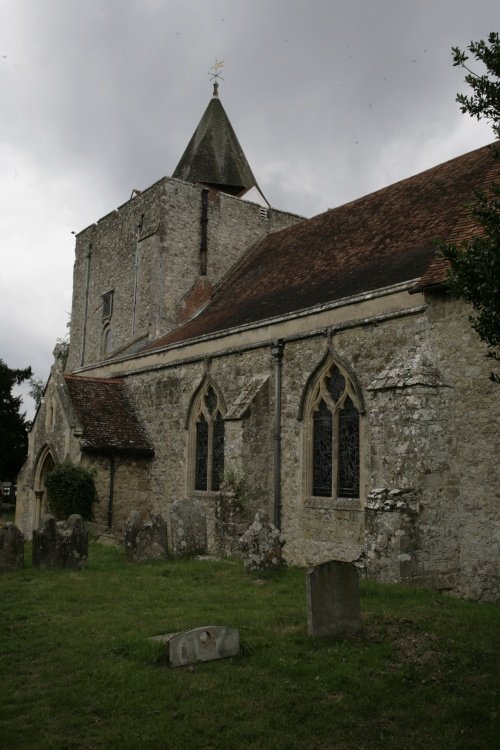
For a romantic day out and a trip into England's rich historic past you can do no better than visit the pastoral village of Leeds...
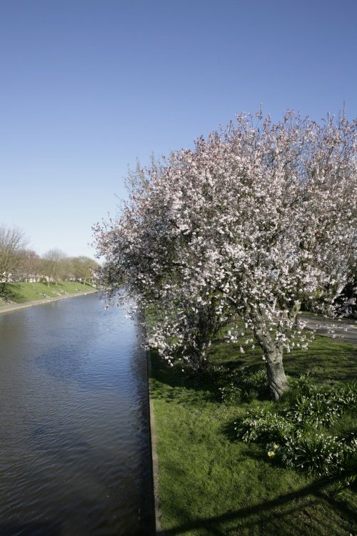
This delightful seaside resort is one of the five original Cinque Ports, it can trace its noble history all the way back to AD732 when it was granted a charter by the Saxon King Ethelred...
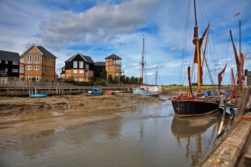
There is record of settlements in the area in pre-historic times, it is known that the Romans and the Anglo-Saxons both established villages...
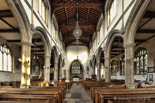
Cranbrook is an old rural town of numerous streets and alleys, all still true to their medieval layout...
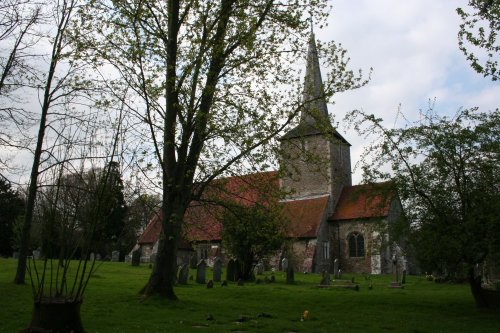
Playden is situated just north of Rye. It is most noted for its beautiful Norman Church dedicated to St. Michael which dates from around 1190...
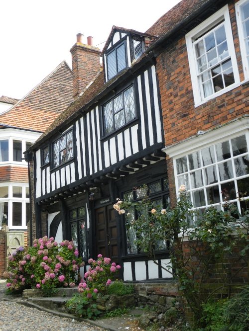
Rye is a picturesque and historic town with cobbled streets, medieval architecture, and panoramic views of the surrounding countryside...
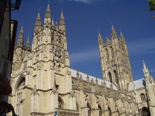
Canterbury is an exquisite joyous place, it is submerged in history and is considered to be the birthplace of English Christianity. It glows with an abundance of charm, mostly.....
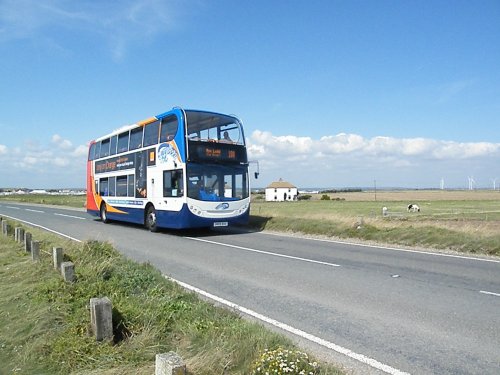
Backed by the Walland Marsh, Camber has one of the finest stretches of pure sand and sand dunes found along the East Sussex coast...
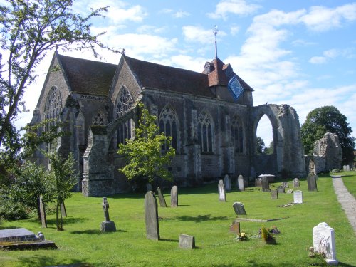
This is a pretty, busy little town tucked along a ridge overlooking Pett Level...
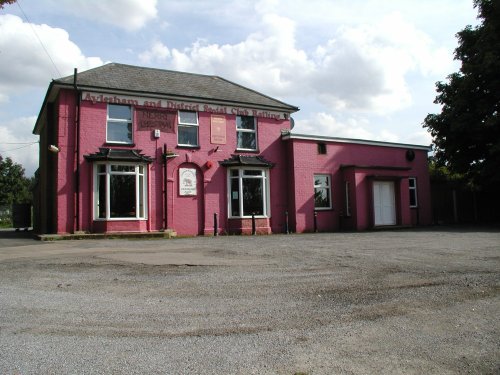
The village preserves its history, it has several noted buildings from when it was built and a strong community spirit still prevails. Of interest is the beautiful sculpture dedicated to the men who lived in Aylesham and spent their lives working in the mines...
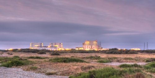
..
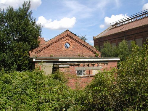
Snowdown was famous for its colliery, it was one of only four collieries in Kent. It opened between 1907 and 1912, with a new town being built at Aylesham to provide home for workers who came largely from the north-east of England and from Wales...
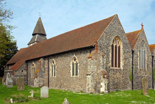
This is an historic, interesting village which was once home to Edmund Drake, father of Sir Francis, who became vicar of the local church in 1560...
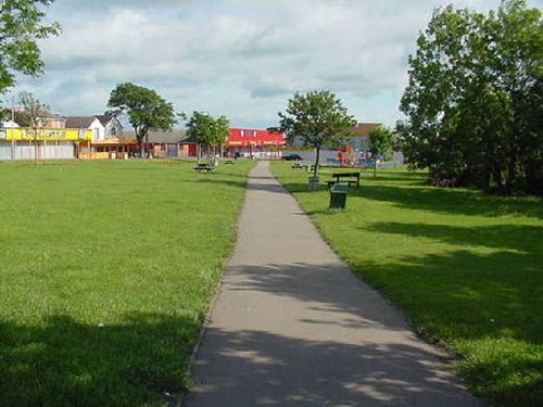
This is a busy Kentish coastal holiday resort which has sandy beaches and safe shallow waters, thus the beach is ideal for sunbathing and to swim from...
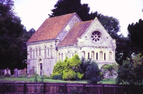
Apart from the church, the village of Barfrestone reveals leafy lanes studded with enchanting cottages...
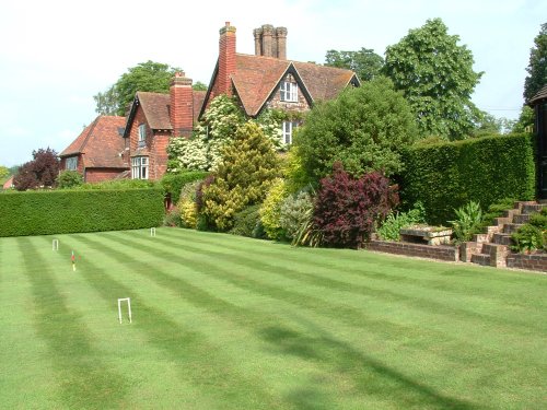
Brenchley is a beautiful "showpiece" village full of picturesque Tudor cottages, complimented by houses from the Regency and Victorian periods...
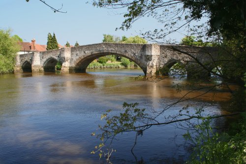
Aylesford is a large village in Kent, 4 miles NW of the county town of Maidstone. It sits on the river Medway, and has many interesting and historic buildings including the 14th.....
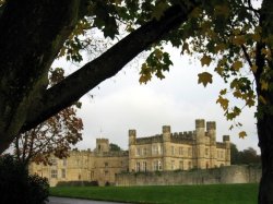
Listed in the Domesday Book, this castle has been a Norman stronghold, a royal residence for six of England's medieval queens, a.....
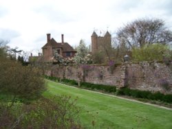
It is entirely fitting that one of the loveliest gardens in the land can be found in a county renowned for its beauty and.....
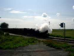
First opened to traffic in July 1927 as the 'World's Smallest Public Railway' and now covering a distance of 13.5 miles from the.....

Rye Castle Museum, also known as 'Ypres Tower', in the beautiful maritime town of Rye, occupies a commanding position.....
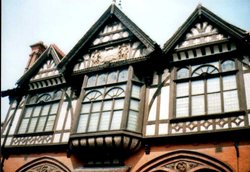
The Canterbury Royal Museum is housed in a magnificent Victorian building of russet brick and impressive black and white timber.....
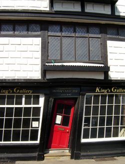
The Crooked House of Canterbury, otherwise known as Sir John Boys house, is an eye-catching feature of Palace Street, and is.....
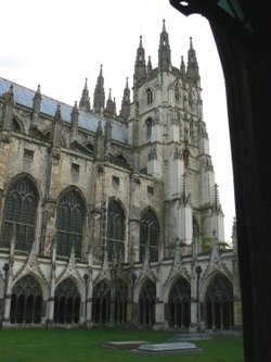
This magnificent cathedral has been a place of pilgrimage for hundreds of years. It was the scene of Thomas a' Becket's murder.....
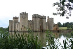
The wonderful parapet, walls and high round towers of 14th-century Bodiam Castle are gloriously reflected in its broad moat. It.....
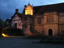
Lying in a gorgeous scenic location beside the River Medway is the ancient Palace belonging to the Archbishop's of Canterbury,.....
..

..
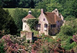
What could be more romantic than to wander amongst the ruins of moated Scotney Castle, believed to have been begun in the latter.....
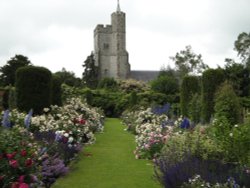
..

..
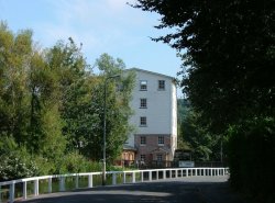
The current mill, built in 1812, is situated in the picturesque village of River, on the outskirts of Dover. There have been.....
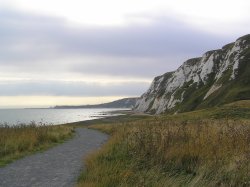
The newest part of Kent, made from 4.9 million cubic metres of chalk marl dug to create the Channel Tunnel. Samphire Hoe was.....
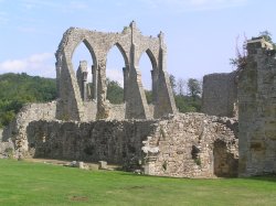
Built in the 13th century, and set in beautiful surroundings, Bayham Abbey is a favourite of painters and photographers...
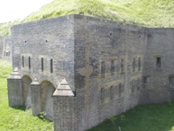
The Western Heights in Dover are remains of fortifications built mainly during the Napoleonic Wars when England was under a real.....

Rochester Cathedral is awesome in its beauty, matching this is an impressive history stretching back to when the cathedral was.....
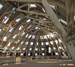
Set in a stunning 80-acre estate The Historic Dockyard Chatham will excite and entertain you - whatever your age! Explore the.....