Pictures of England

Search:

Historic Towns & Picturesque Villages

Recommended Towns & Villages near Barrowford

Padiham. Burnley Road.

Padiham (18 Pictures)

in the county of Lancashire (5.3 miles, 8.5 km, direction SW)

Padiham is a thriving Lancashire town lying on the Calder River. It is most famous as the home of Gawthorpe Hall, a noted country estate built early in the 17th-century for the.....

Waddington Village, Lancashire

Waddington (29 Pictures)

in the county of Lancashire (8.7 miles, 14.0 km, direction W)

..

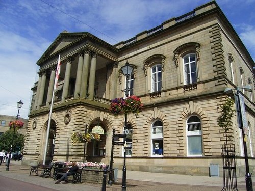
Town Hall, Accrington

Accrington (57 Pictures)

in the county of Lancashire (9.3 miles, 14.9 km, direction SW)

Some of the town's loveliest architecture comes from the Victorian era, this can be seen in the elegant Victorian Market Hall with its clock and rich display of sculpture...
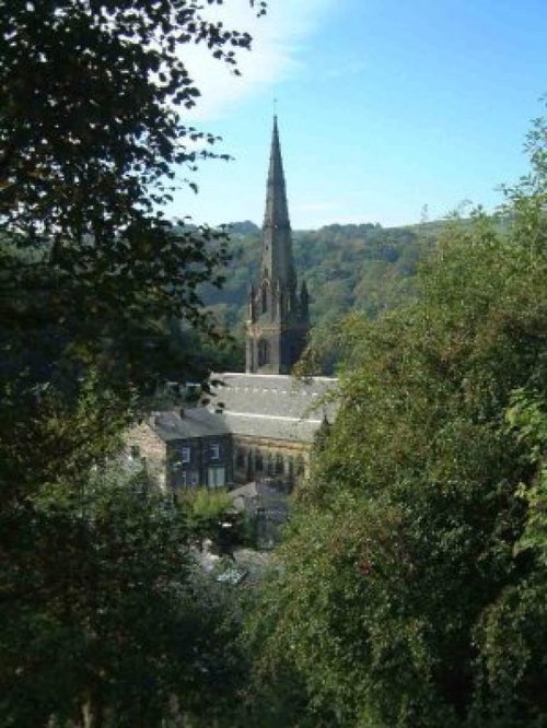
A picture of Todmorden

Todmorden (12 Pictures)

in the county of West Yorkshire (10.6 miles, 17.0 km, direction SE)

Todmorden lies on the historic border between Yorkshire and Lancashire in an area of the Calder Valley ringed by the hills of the Pennines...

Rhyddings Park, Oswaldtwistle

Oswaldtwistle (30 Pictures)

in the county of Lancashire (10.8 miles, 17.4 km, direction SW)

This is a large, typical Lancashire village lying close to the urban sprawl of Blackburn and Accrington...

Cromwell Bridge

Hurst Green (207 Pictures)

a Picturesque Village in the county of Lancashire (10.9 miles, 17.5 km, direction W)

This pretty Lancastrian villages the setting for historic Stoneyhurst, a noted school which was founded in the 16th-century...
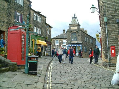
Haworth, West Yorkshire - Home of the Bronte sisters

Haworth (227 Pictures)

a Picturesque Village in the county of West Yorkshire (11.1 miles, 17.9 km, direction E)

Haworth is famous the world over for its connections with the Bronte sisters, the famous novelists...
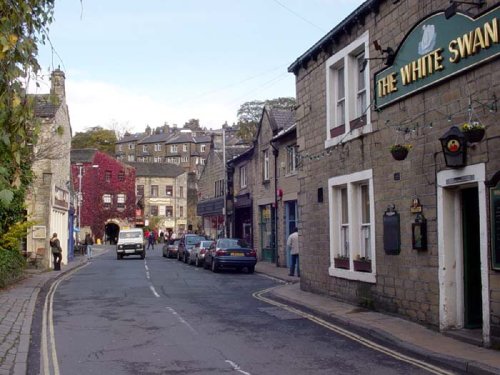
centre 03

Hebden Bridge (43 Pictures)

a Historic Market Town in the county of West Yorkshire (11.3 miles, 18.1 km, direction SE)

This beautiful old town grew up close to the River Hebden at the point where a stone bridge was built as part of a pack-horse route in the 16th century...
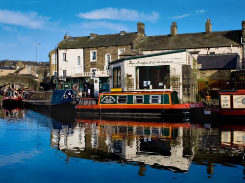
Skipton, North Yorkshire

Skipton (171 Pictures)

a Historic Market Town in the county of North Yorkshire (11.4 miles, 18.4 km, direction NE)

Long considered "The Gateway to the Dales" which lye to the north, moors extend southwards, and the tranquil countryside of the Ribble Valley is to the west...
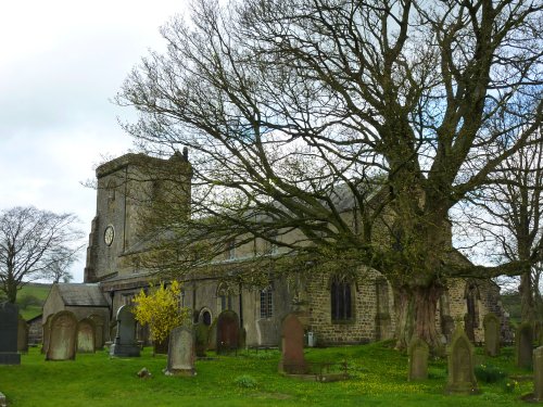
St. Andrews Church

Slaidburn (55 Pictures)

in the county of Lancashire (12.2 miles, 19.7 km, direction NW)

An eye catching place with a pretty village green and a scattering of stone cottages set in an idyllic spot on the banks of the River Hodder...
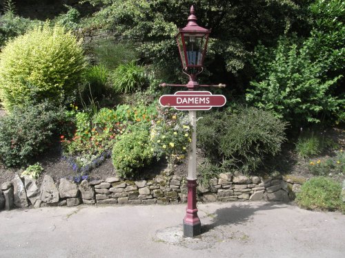
Damems station, a part of Keighley

Keighley (48 Pictures)

in the county of West Yorkshire (12.6 miles, 20.2 km, direction E)

This is an industrial town in West Yorkshire. It lies in a fold between the fine countryside of Airdale and Keighley Moors...

St. Wilfred's Church

Ribchester (78 Pictures)

a Picturesque Village in the county of Lancashire (13.1 miles, 21.1 km, direction W)

A picturesque village in the Ribble Valley..

Forest Of Bowland, near to Dunsop Bridge, Lancashire

Dunsop Bridge (70 Pictures)

in the county of Lancashire (13.9 miles, 22.4 km, direction NW)

..

Harden Beck, Harden, West Yorkshire

Harden (4 Pictures)

in the county of West Yorkshire (14.3 miles, 23.0 km, direction E)

Harden lies in the famous countryside area between Cullingworth and Bingley surrounded by rivers and meadows. It is a favoured commuter base for those working in nearby Bradford...

Overlooking East Lancs railway from St.Catherines Close, Ramsbottom

Ramsbottom (11 Pictures)

in the county of Greater Manchester (14.7 miles, 23.6 km, direction S)

The countryside surrounding the town offers lakes, woods and hills, with distant Winter Hill rising to a height of 456 feet...
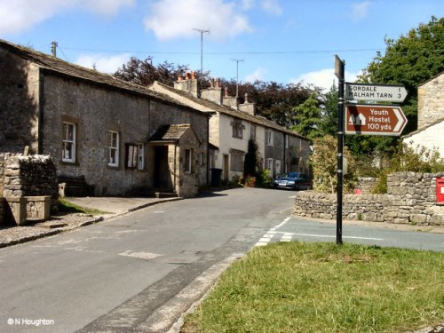
The centre of Malham in N.Yorkshire

Malham (84 Pictures)

in the county of North Yorkshire (14.7 miles, 23.6 km, direction N)

High on the moors and dales of Yorshire, lies the wild and desolate place of Malham....

Kissing gate

Chipping (75 Pictures)

a Picturesque Village in the county of Lancashire (14.7 miles, 23.7 km, direction W)

Winner of Britain in Bloom in 2009, and RHS Tourism and Gold achievement awards, Chipping is a charming village located above a fast flowing stream at the edge of the Bowland forest. Its character can be seen in its ancient cobbled streets and lovely 17th century properties...

Settle Station

Settle (35 Pictures)

a Historic Market Town in the county of North Yorkshire (15.1 miles, 24.4 km, direction N)

A wonderful market town in the Yorkshire Dales. Settle is the starting point for the famous Settle to Carlisle Railway; one of Britain's most spectacular and scenic railways which.....

Wayoh Reservoir, Edgworth, Lancashire

Edgworth (25 Pictures)

in the county of Lancashire (15.9 miles, 25.6 km, direction SW)

This attractive hillside village occupies a pleasant rural location close to two pretty reservoirs and the historic house known as Turton Tower...
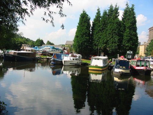
Sowerby bridge basin, West Yorkshire.

Sowerby Bridge (11 Pictures)

in the county of West Yorkshire (16.0 miles, 25.8 km, direction SE)

Surrounded by the dramatic scenery of the South Pennines, with the town's gentle scenery being enhanced by the River Calder and the River Ryburn on which the town stands...
Recommended attractions near Barrowford

Pendle Hill

Pendle Hill (61 Pictures)

(3.7 miles, 5.9 km, direction W)

..

Gawthorpe Hall, Padiham

Gawthorpe Hall (3 Pictures)

(4.7 miles, 7.6 km, direction SW)

Gawthorpe Hall, home of the Shuttleworth family for several centuries lies close to the traditional Lancastrian market town of.....
Towneley Hall, Burnley, Lancashire

Towneley Hall Art Gallery & Museum (2 Pictures)

(5.3 miles, 8.5 km, direction S)

..

Sawley Abbey

Sawley Abbey (15 Pictures)

(6.5 miles, 10.4 km, direction NW)

..

Lazy afternoon

Clitheroe Castle (41 Pictures)

(7.4 miles, 11.9 km, direction W)

..

Gibson Mill in Hardcastle Crags, Hebden Bridge, West Yorks.

Hardcastle Crags & Gibson Mill (6 Pictures)

(10.0 miles, 16.0 km, direction SE)

Beautiful wooded valley with 19th-century Gibson Mill at its heart, an exemplar of sustainable energy. This is the flagship.....

Skipton Castle, North Yorkshire

Skipton Castle (52 Pictures)

(11.3 miles, 18.2 km, direction NE)

Apart from it's historic church, Skipton Castle is the town's premier attraction. This is located where the High Street fans out.....
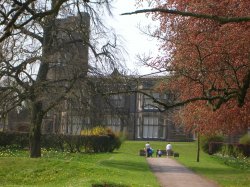
Cliffe Castle museum, Keighley, West Yorkshire.

Cliffe Castle Museum (5 Pictures)

(12.5 miles, 20.0 km, direction E)

The approach to Cliffe Castle Museum, gives the visitor little hint of the amazing treat in store, for awaiting is a magnificent.....
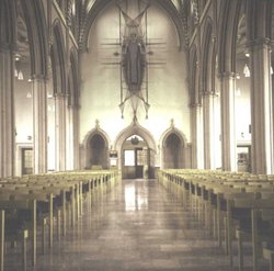
Blackburn Cathedral

Blackburn Cathedral (3 Pictures)

(13.4 miles, 21.5 km, direction SW)

..

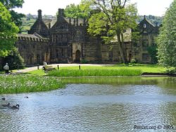
Front view of East Riddlesden Hall, Keighley, West Yorkshire

East Riddlesden Hall (5 Pictures)

(13.9 miles, 22.3 km, direction E)

For a glorious day out amongst spectacular countryside where you get an evocative glimpse into the past there are few properties.....
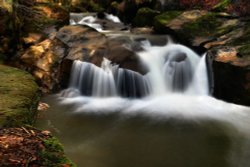
One of several waterfalls at Healey Dell, Whitworth, near Rochdale, Lancs.

Healey Dell (7 Pictures)

(14.7 miles, 23.6 km, direction S)

Healey Dell Nature Reserve on the Whitworth - Rochdale border, sits in a picturesque part of the Spodden Valley. Rich with flora.....
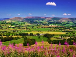
Forest of Bowland, Lancashire

Forest of Bowland (43 Pictures)

(14.7 miles, 23.6 km, direction NW)

This high region of grouse moor and high fells crossed with deep narrow valley's was once a hunting ground of Saxon King's. It.....
Darwen Tower at sunset, Darwen, Lancashire.

Darwen Tower (18 Pictures)

(15.0 miles, 24.1 km, direction SW)

An observation tower circa 1897Standing at 86ft high, apparently you can sometimes see the Welsh Hills from it on a very clear.....

Garsdale Station on the Settle Carlisle Railway, located high in the Yorksire Dales National Park

Settle Carlisle Railway (9 Pictures)

(15.1 miles, 24.3 km, direction N)

This spectacular train journey could easily be the most scenic train trip in the whole of the UK. The route is part of National.....

Janet's Foss. Malham, North Yorkshire

Janet's Foss (6 Pictures)

(15.1 miles, 24.4 km, direction N)

A small picturesque waterfall near the village of Malham and Malham Cove, North Yorkshire. Janet refers to a Fairy Queen who is.....
Bold venture Park, Darwen, Lancashire.

Bold Venture Park (30 Pictures)

(15.3 miles, 24.6 km, direction SW)

The name of this spacious green park situated at Darwen in Lancashire epitomises the endeavour of the local borough engineer who.....

Malham Views

Malham Cove (30 Pictures)

(15.4 miles, 24.7 km, direction N)

A natural limestone formation which is a national beauty spot, near Malham, North Yorkshire..

Gordale Scar,  Malham Cove

Gordale Scar (8 Pictures)

(15.7 miles, 25.2 km, direction N)

Painted by James Ward, written about by Wordsworth in a sonnet, this dramatic limestone ravine is an essential visit when in the.....

Samlesbury Hall

Samlesbury Hall (2 Pictures)

(15.8 miles, 25.4 km, direction W)

..

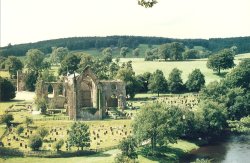
View of Bolton Priory, North Yorkshire.

Bolton Priory (60 Pictures)

(16.6 miles, 26.7 km, direction NE)

Beautiful remains of an Augustinian Priory in a picturesque position on the banks of the river Wharfe, North Yorkshire. Well.....


All attractions in Barrowford
All attractions in Lancashire