Pictures of England

Search:

Historic Towns & Picturesque Villages

Pictures of Ragdale

in the county of Leicestershire

About Ragdale

If you would like to add a description of Ragdale, please use our Ragdale forum here. To upload your Ragdale photography and create your very own 'Pictures of England Gallery', click here or here to join the site and become part of the Pictures of England community, or simply see below for nearby recommended towns, attractions, and Ragdale accommodation.

Recommended towns & villages near Ragdale

Ye Olde Pork Pie Shoppe, Melton Mowbray

Melton Mowbray (25 Pictures) a Historic Market Town in the county of Leicestershire

(5.5 miles, 8.8 km, direction E of Ragdale)

An historic market town famous for its Pork packed pies and Stilton cheeses, both are savoured all over Britain and in many other countries...

A picture of Rothley

Rothley (12 Pictures) in the county of Leicestershire

(6.8 miles, 11.0 km, direction SW of Ragdale)

Rothley is a delightful village with two village greens, one is flanked by some of the country's finest timber framed houses. The village shows a graceful selection of architecture including pretty Cruck Cottages...

Town Hall in Loughborough, Leicestershire

Loughborough (74 Pictures) in the county of Leicestershire

(7.9 miles, 12.8 km, direction W of Ragdale)

The joyous sound of bells made in Loughborough have been rung all over the world since 1858, the date that John Taylor of Oxford moved his foundry to Loughborough. Many famous.....

St Mary de Castro Church, Leicester

Leicester (362 Pictures) a Historic City in the county of Leicestershire

(10.5 miles, 17.0 km, direction SW of Ragdale)

Leicester is famed amongst other things for its fine parish church which was raised to Cathedral status in 1927...

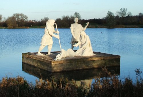
Winter sunset

Beeston (270 Pictures) in the county of Nottinghamshire

(13.2 miles, 21.3 km, direction NW of Ragdale)

Beeston is mostly remarkable for being the place where the Ist Lord Trent started work in his mother's herbal shop at the age of 14...
All towns & villages in Leicestershire
Complete A to Z of towns & villages in England

Nearby attractions..

A picture of Watermead Country Park

Watermead Country Park (174 Pictures)

(6.8 miles, 10.9 km, direction SW)

..

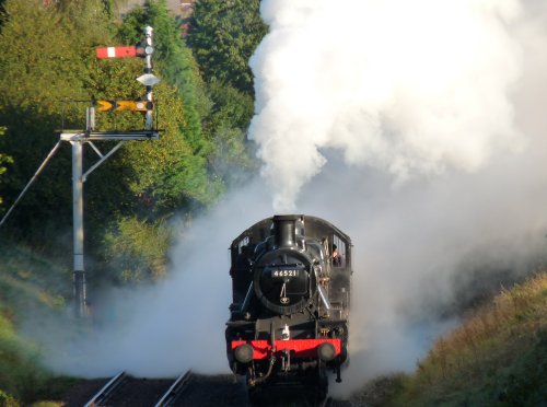
Letting off Steam on the Great Central Railway

Great Central Railway (48 Pictures)

(7.6 miles, 12.2 km, direction W)

..

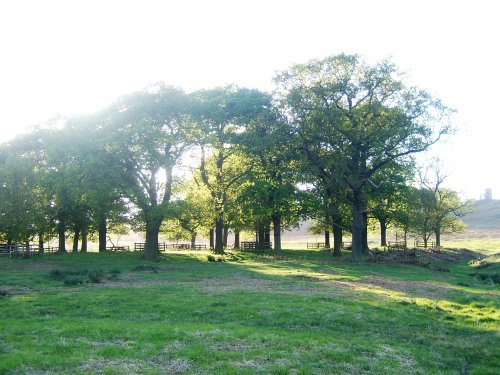
Bradgate Park, Leicester, leicestershire

Bradgate Park (257 Pictures)

(9.7 miles, 15.6 km, direction SW)

Comprising of 850 acres of land with roaming deer, Bradgate Park is Leicestershire's largest and most popular country.....
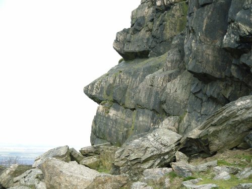
The Old Man of Beacon, Beacon Hill Country Park, Leicestershire

Beacon Hill Country Park (24 Pictures)

(9.9 miles, 15.9 km, direction W)

The second highest point in Leicestershire at 245m (802 feet) and containing a Bronze Age hill fort, Beacon Hill Country Park.....
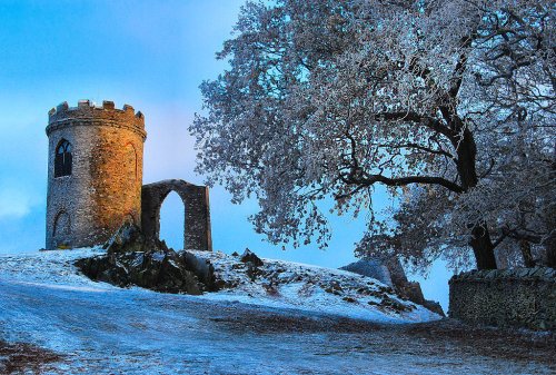
Old John, Bradgate Park, Leicestershire

Old John Tower (10 Pictures)

(10.2 miles, 16.4 km, direction SW)

Standing on a hill overlooking Bradgate Park, Old John Tower folly.....
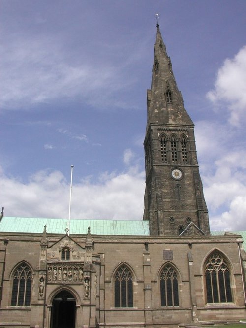
Leicester Cathedral, Leicester

Leicester Cathedral (16 Pictures)

(10.6 miles, 17.1 km, direction SW)

..

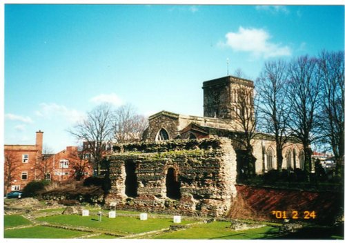
Jewry Wall, A small piece of the Roman Wall still remains in Leicester City Centre.

The Jewry Wall Museum (15 Pictures)

(10.9 miles, 17.5 km, direction SW)

This is Leicester's leading Museum of Archaeology, showing an extensive range Roman finds as well as other unique historic relics.....


All attractions in Ragdale
All attractions in Leicestershire
Complete A to Z of attractions in England