Pictures of England

Search:

Historic Towns & Picturesque Villages

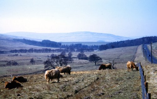
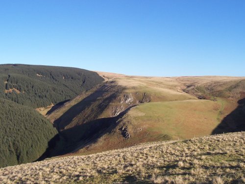
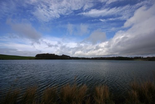
Pictures of Kielder

in the county of Northumberland

About Kielder

This small historic village lies at the northernmost edge of Kielder Water, it takes its name from the Kielder Burn the stream that links with the Deadwater Burn to form the North Tyne River.

The village has a more ancient landscape than parts of the surrounding man made forest and lake which in recent decades have served to make this beautiful part of Northumbria famous. Centuries ago it suffered from Scottish marauders, and it is recorded that Robert the Bruce "laid waste to Kielder" between 1311-1312. In medieval times, the regions landscape was covered with castles, pele towers and farmsteads. Today, it is just as picturesque but of the castles only Kielder Castle built in the 18th century for the Dukes of Northumberland remains. This now serves as an information centre for visitors to the area.

Various industries have flourished in the region, these have included whiskey distilling, with many taking to whisky running before the industry became respectable. The village prospered during a period of lead and coal mining, and for a time there was an iron foundry.

Above the village lies the prominent landmark of the Girdle Stone, or to give the stone its proper name - Kielder Stone. Popular myths and legends surround the stone of which the visible portion is said to weigh over 1400 tons! Some say if you run three times around the stone against the sun it will bring good fortune.

Kielder today is one of the most popular holiday destinations in Northumberland. Huge numbers are attracted by Kielder Water which is idyllic for fishing, boating and other watersports, also the surrounding forest which provides vivid colours at all times of the year, wonderful habitats for wildlife, rare plant life, birds including the handsome goosander, waders and dippers.

It is a friendly village where you can find good accommodation including a youth hostel.

Recommended towns & villages near Kielder

Black Middens Bastle in the Tarset Valley

Bellingham (7 Pictures) a Historic Market Town in the county of Northumberland

(14.7 miles, 23.6 km, direction SE of Kielder)

The market town of Bellingham sits on one of Northumberland's prettiest stretches of water, the north bank of the River North Tyne...

St Mary church, Walton, Brampton Cumbria

Brampton (26 Pictures) in the county of Cumbria

(20.8 miles, 33.5 km, direction S of Kielder)

One of the loveliest features of Brampton is its octagonal Moot Hall, built by the Earl of Lancaster in 1817...

St.Michael's Church in the village of WALL in the county of NORTHUMBERLAND - August 2003

Wall (1 Pictures) a Picturesque Village in the county of Northumberland

(23.6 miles, 37.9 km, direction SE of Kielder)

The village of Wall lies in the high uplands of Northumberland in spacious countryside bordered by the rivers South Tyne and North Tyne, close to Chester's Fort on historic Hadrian's Wall...

Hexham Abbey, Northumberland

Hexham (35 Pictures) a Historic Market Town in the county of Northumberland

(26.2 miles, 42.2 km, direction SE of Kielder)

Historic market town where for centuries the sheep and cattle farmers of Northumberland gathered for the Tuesday market beside Hexham Abbey...

All towns & villages in Northumberland
Complete A to Z of towns & villages in England

Nearby attractions..

A picture of Kielder Water

Kielder Water (27 Pictures)

(5.4 miles, 8.7 km, direction SE)

..

A picture of Redesdale

Redesdale (1 Pictures)

(11.2 miles, 18.1 km, direction E)

..

Ravens Crag and the Allerhope Burn, The Cheviot Hills, Northumberland.

The Cheviot Hills (12 Pictures)

(12.0 miles, 19.3 km, direction E)

The clearly defined peaks of the glorious Cheviot Hills dominate the western side of the border territory as it juts boldly out.....
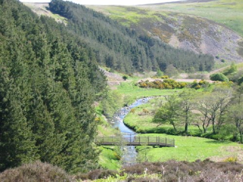
A Walk in the Cheviots, Northumberland

Northumberland National Park (63 Pictures)

(14.7 miles, 23.7 km, direction E)

The Northumberland National Park is surely Northumberland's special blessing. It is an area of wild, desolate moorland and dark,.....
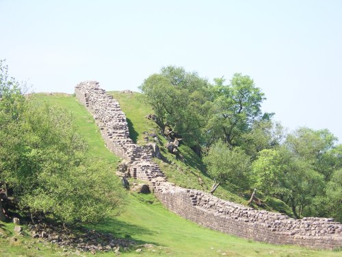
Hadrian's Wall

Hadrian's Wall & Housesteads Fort (36 Pictures)

(18.8 miles, 30.2 km, direction SE)

Wild and evocative remains of the Roman Empire's most northerly defences, with panoramic views. Roman barracks and some of the.....
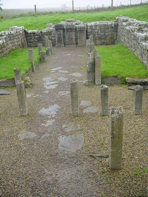
Mithraeum temple near Brocolitia roman fort Milecastle

Carrawburgh Roman Fort (Brocolitia) (2 Pictures)

(20.7 miles, 33.3 km, direction SE)

..

Just before the snow arrived... -  - taken at Talkin Tarn country park

Talkin Tarn Country Park (26 Pictures)

(22.1 miles, 35.6 km, direction S)

This lovely country park occupies a magical landscape close to the historic market town of Brampton. The icy waters forming the.....


All attractions in Kielder
All attractions in Northumberland
Complete A to Z of attractions in England


Slideshow script powered by Magic Toolbox
mgctlbxN$MT mgctlbxV$3.2.8 mgctlbxL$