Pictures of England

Search:

Historic Towns & Picturesque Villages

ad
ad
ad
ad
A picture tour of Cape Wrath Lighthouse - in the town of Durness, in the county of Highland
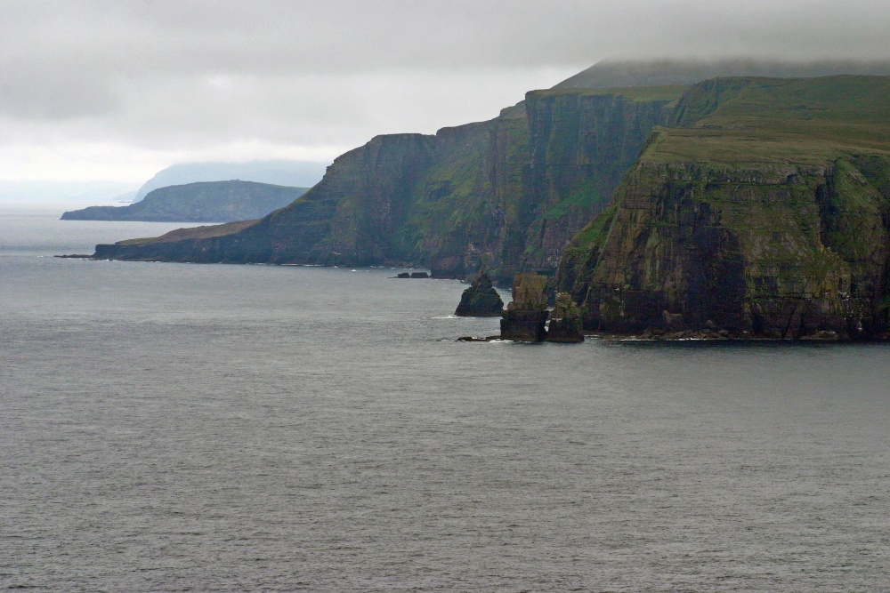
Cliffs of Cape Wrath
Cliffs of Cape Wrath - by Karen Lee ©

PicturesOfEngland.com Member Login

You are not logged in.

Username:
Password:
   

Not registered yet? Click here to join!

Close

Cliffs of Cape Wrath

Cape Wrath is the most north-westerly point on the British mainland. Iceland is approximately 519 km / 509 miles away. The name Cape Wrath is believed to be from Old Norse (havrf) ("turning point"). The Vikings are believed to have used the Cape as a navigation point where they would turn their ships and head for home. The sea cliffs around the cape rise up to 281 metres (922 ft) above sea level and include the highest sea cliffs on the British mainland
Browse all Cape Wrath Lighthouse images Add to favourites

Photographer: © Karen Lee (Gallery)(15th May 2013)

5 stars

Comment by Zbigniew Siwik(15th May 2013)

Nice atmosferic shot , thanks for info

pictures by this user   user profile   user contact

5 stars

Comment by rustyruth(16th May 2013)

Whatever the weather the scenery is stunning. Great set Karen.

pictures by this user   user profile   user contact

5 stars

Comment by Dave John(17th May 2013)

A wonderful place.....one of the few real wilderness areas in the British Isle. Must be close on 30 years since i was there....back in my cycling days !!!!!

pictures by this user   user profile   user contact

Please add a comment..

Please login to make a comment on this picture


Camera Make: Canon Model: Canon EOS 300D DIGITAL
Focal length: 140 mm, Aperture: f 16, ISO: 200, Exposure time: 1/200 sec, Metering Mode: Multi-Segment, Exposure Bias: -1 EV
Date/Time Creation: August 5, 2012, 2:49 pm
ImageID:1174859, Image size: 3072 x 2048 pixels