Pictures of England

Search:

Historic Towns & Picturesque Villages

Pictures of Forest-in-Teesdale

in the county of County Durham

About Forest-in-Teesdale

This is one of County Durham's loveliest areas. It's landscape, possessed of a wild untamed beauty, highlighted by the meandering River Tees, has a few ancient farmhouses and old stone cottages.

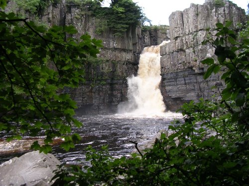
The region also has the awesome sight of one of England's highest waterfalls, High Force, whose silvery waters rush in a shattering crescendo towards the deep waters of the lake. The slabs surrounding the falls appear to have been perfectly placed for sitting and contemplating for a while, enjoying the leap and splash of the water. In the distance the eye is drawn towards the daunting grey-blue dolerite crags and further along the Tees is the swiftly flowing Cauldron Snout which lies immediately below the dam of the Cow Green Reservoir. This pretty watery stretch of over 200 yards, lies between grassed and rocky crags, and is more of a meandering cataract than waterfall. Nonetheless, despite a 3 mile hike from the carpark at the reservoir, Cauldron Snout acts as a magnate for the hordes of visitors descending annually on the upper reaches of Teesdale.

Forest-in-Teesdale is idyllic, tranquil walking country where you can wander at will, gazing at natures wonders. It is on the Pennine way and is close to Langdon Beck and Maize Beck, with Black Hill and Outberry Plain in the distance.

Visitors wishing to explore the region will find a scattering of good hotels, guest houses, bed and breakfast, and at Langdon Beck there is a Youth Hostel.

Recommended towns & villages near Forest-in-Teesdale

Miners Arms, Nenthead, Cumbria

Nenthead (14 Pictures) a Picturesque Village in the county of Cumbria

(10.3 miles, 16.6 km, direction NW of Forest-in-Teesdale)

Nestling beside the sparkling River Nent, Nenthead lies on Alston Moor, in a lonely remote North Pennine Area of Outstanding Natural Beauty, between the pleasant market town of Alston and the Killhope lead mining museum...

Wolsingham

Wolsingham (18 Pictures) a Historic Market Town in the county of County Durham

(13.7 miles, 22.0 km, direction E of Forest-in-Teesdale)

This is a lovely village lying on the edge of the North Pennines in an area of great scenic beauty. It is a wild and beautiful landscape dotted only by scattered farms with meadows full of grazing sheep and cattle...

Barnard Castle, County Durham

Barnard Castle (43 Pictures) a Historic Market Town in the county of County Durham

(13.8 miles, 22.2 km, direction SE of Forest-in-Teesdale)

..

Alston, Cumbria

Alston (32 Pictures) a Historic Market Town in the county of Cumbria

(14.1 miles, 22.7 km, direction NW of Forest-in-Teesdale)

At a height of over 1,000 feet in the far reaches of the Pennines, this is one of England's highest market towns. Alston is a lively bustling place of steeply rising narrow.....

Village centre Blanchland

Blanchland (38 Pictures) a Picturesque Village in the county of Northumberland

(14.3 miles, 23.1 km, direction NE of Forest-in-Teesdale)

Blanchland is a small picturesque village nestled beside the river in the Derwent Valley within the North Pennines Area Of Outstanding Natural Beauty. It is surrounded by.....
All towns & villages in County Durham
Complete A to Z of towns & villages in England

Nearby attractions..

High Force, Englands highest waterfall. On the River Tees, Upper Teesdale, Co.Durham.

High Force (56 Pictures)

(1.0 miles, 1.6 km)

This is the Tees most spectacular offering, it is also England's highest waterfall. The best time to see High Force is just.....
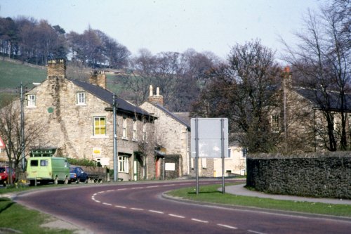
Frosterly in Weardale, County Durham

Weardale (20 Pictures)

(5.9 miles, 9.5 km, direction N)

This lovely scenic valley lies between the town of Bishop Auckland, seat of princes of the church and the charming market town of.....
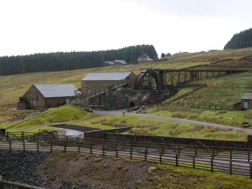
Killhope Lead Mining Museum high in Upper Weardale. A desolate but magical place.

Killhope Lead Mining Museum (7 Pictures)

(8.8 miles, 14.1 km, direction N)

Killhope Lead Mining Museum keeps alive the counties lead mining traditions. This is a fully restored site of a working mine.....
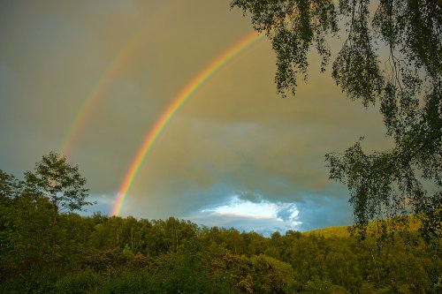
Double rainbow

Hamsterley Forest (12 Pictures)

(10.6 miles, 17.0 km, direction E)

Hampsterley Forest encompasses over five thousand acres, it is a combination of parkland and forest, giving access to some of the.....
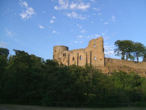
A view of the Castle at Barnard Castle, County Durham

Barnard Castle (26 Pictures)

(14.1 miles, 22.6 km, direction SE)

This historic town is a picturesque centre for discovering the delights of Teesdale. The town occupies a clifftop site above.....
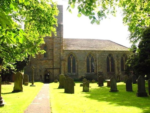
Blanchland Abbey, Northumberland

Blanchland Abbey (1 Pictures)

(14.3 miles, 23.0 km, direction NE)

Blanchland Abbey was founded as a priory in 1165 by Walter de Bolbec II, and became an abbey in the late 13th century. The.....
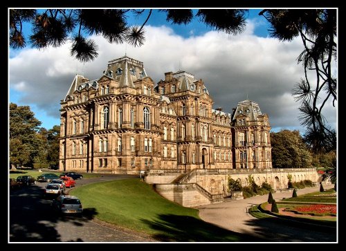
Bowes Museum.. Near Barnard Castle...3rd October 2004.

Bowes Museum (12 Pictures)

(14.4 miles, 23.1 km, direction SE)

Josephine Bowes, wife of John Bowes was a Parisian actress, and perhaps this shows in the choice of building they chose as a.....


All attractions in Forest-in-Teesdale
All attractions in County Durham
Complete A to Z of attractions in England