Please login or click here to join.
Forgot Password? Click Here to reset pasword

Cranwell is best known as the home of the Royal Airforce College which became the first military air academy in the world when it opened its doors to would be fliers in 1920...
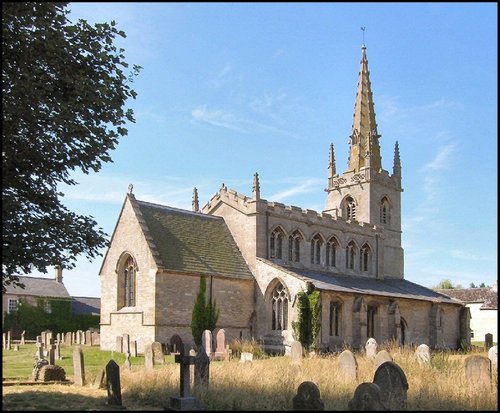
This is a tranquil village set in a lovely rural location in the vale of the Digby Beck watercourse...

Helpringham is a richly rewarding walking area, with walks around old villages and waterside walks giving visitors a lovely glimpse of the regions natural wildlife and variety of scenery...
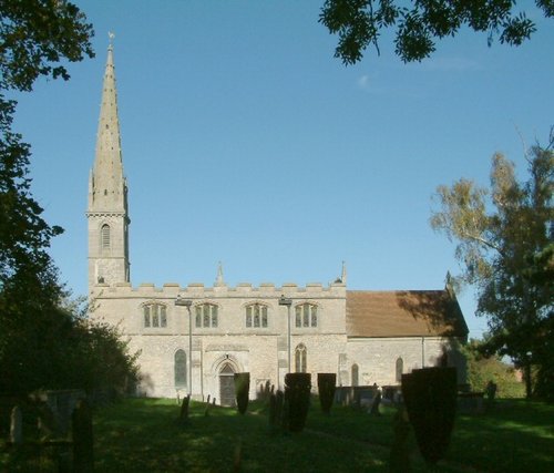
The village of Rowston is perhaps best known for its historic church. The church, dedicated to St.Clement has church records dating back to 1566...

This is a small well kept "estate" village which was built around the great estate of Blankney Hall, the estates of which have existed since the time of William the Conqueror...

The popular village of Belton lying north of Grantham is home to magnificent Belton House. It is also a typical "Estate" village which perfectly epitomises all the values of English country life...

Metheringham is an old Lincolnshire village with a history stretching back to the Doomsday Book of 1086...
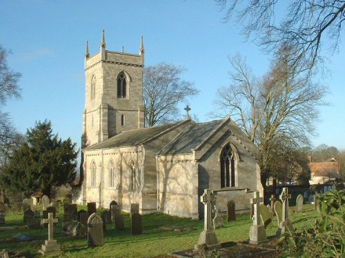
Boothby Graffoe is one of the springline villages lying on the vast Lincolnshire plain. It is a sparsely populated hamlet of immense charm with a history that travels back over hundreds of years...
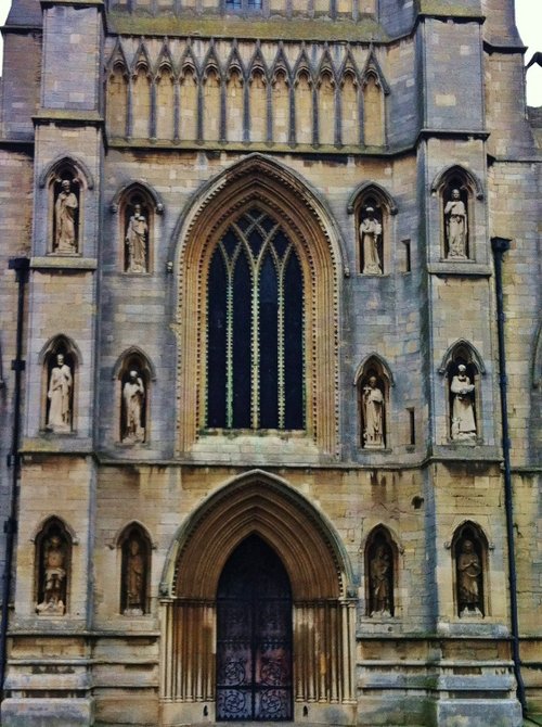
This delightful town, set on the River Witham in a spacious agricultural region is noted for many historic factors but more latterly as the birthplace of Britains first woman Primne Minister - Margaret Thatcher was born here in 1925 and she became Prime Minister in 1979...

Harmston grew up on an escarpment from which there are dramatic views of the Witham valley, and it is perhaps this river-side position which has given this lovely pastoral place much of its character...

Lovely Lincolnshire village with a history stretching back to the Doomsday Book and possibly beyond...

Waddington is a bustling town, its modern day history forever linked to the R.A.F of which it is justifiably proud. It's annual air show is a major event on the yearly calendar and is attended by people from all over England...
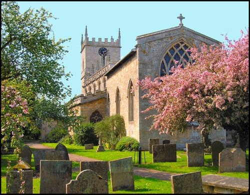
Bassingham, mentioned in the Doomsday Book, is a large, flourishing village located close to the banks of the River Witham, a few miles south-west of the Cathedral City of Lincoln...
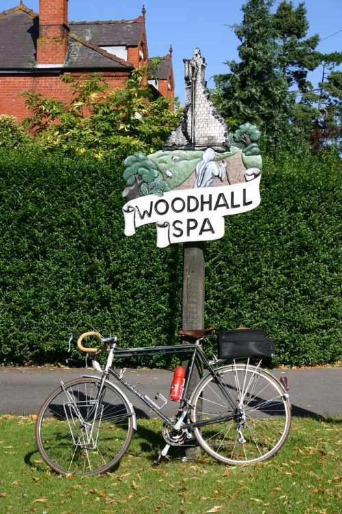
It is sited on heathland, surrounded by lovely woodland and as its name suggests is based beside spa waters which made the town notable in the 19th century when it was fashionable as an inland resort town...
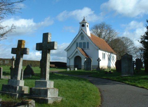
This is a pleasant place which grew up along the banks of the River Witham, within site and sounds of some famous abbey's...
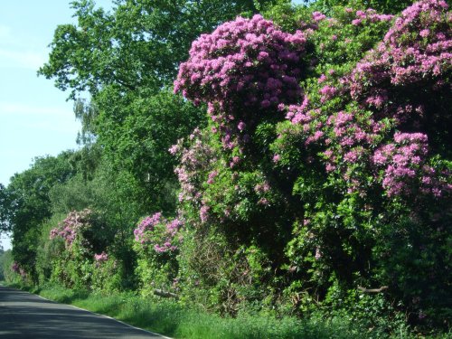
Stapleford is a village lying in the picturesque valley of the River Witham...
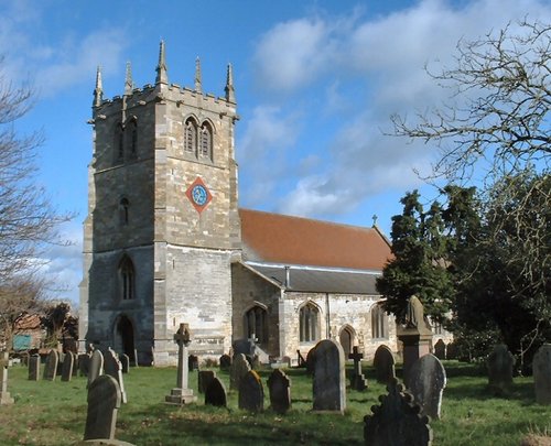
The village of Bardney lies on the eastern banks of the River Witham a short distance from Lincoln...
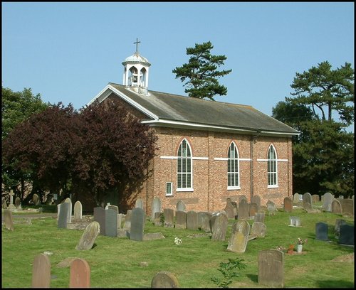
This is another pleasant "Fen" village. It lies on drained land close to the town of Boston and not far away from the famous Sibsey Trader Windmill...
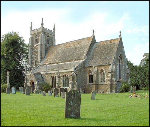
This pleasant Fen village was mentioned in the Doomsday Book, but it's history is known to stretch far beyond 1086...
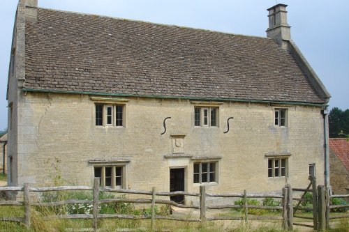
The tiny hamlet of Woolsthorpe-by-Colsterworth lies in spacious rural countryside in the valley of the River Witham...
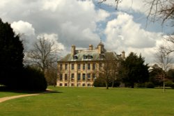
Belton is the perfect example of a home belonging to an English country gentleman, and yet it is a delightful Anglo-Dutch.....

Looking at the huge red brick keep perched in its lofty setting the visitor is immediately struck by the strong French influences.....

Called a manor but in reality this is the farmhouse where Isaac Newton was born in 1642. The house remains very much during.....
..
..
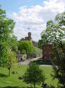
A fine Norman motte-and-bailey castle built in 1068 on the site of a former Roman fortress. It is interesting for its two.....

Looking at the West front of Lincoln's fine Cathedral Church of St.Mary, past the pageant of ancient buildings outside the castle.....
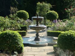
A castle has stood on this spot since the 11th-century, it was built by Robert de Todini, standard-bearer to William the.....
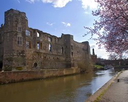
The romantic ruins of this once glorious castle were left to fall into further disrepair following the ravages of the English.....
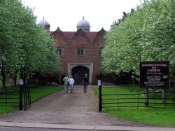
This is a superb, large Elizabethan house with a truly impressive roofline. It was built in around 1600 by Robert Smythson, with.....
..
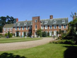
Built of a soft-pinkish brick, this long beautifully proportioned 17th century house presents a charming picture, the very.....
..
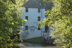
The wonderful world that is Claythorpe Water Mill and Gardens is located in lush "wold's" countryside between Claythorpe and Aby,.....