Pictures of England

Search:

Historic Towns & Picturesque Villages

Recommended Towns & Villages near Ponteland

The Millennium Bridge, Sage building and the Tyne Bridge

Newcastle upon Tyne (330 Pictures)

a Historic City in the county of Tyne & Wear (6.9 miles, 11.2 km, direction SE)

This important City was known as Pons Aelii in Roman times; the Romans built the first bridge over the River Tyne, it was guarded by a Roman fort which was replaced by a castle.....
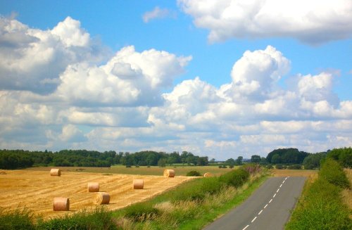
Near Bolam in Northumberland.

Bolam (3 Pictures)

a Picturesque Village in the county of Northumberland (7.7 miles, 12.4 km, direction NW)

This is an historic village, it took its name from a Baron de Bolam in the 13th century...

Autumn colour

Morpeth (14 Pictures)

in the county of Northumberland (8.5 miles, 13.6 km, direction N)

Hidden in the spacious Northumberland countryside where centuries ago the towns and villages of this vast region were the scene of border raids and skirmishes, lies the busy market town of Morpeth...

Angel Of The North, Gateshead, Tyne & Wear

Gateshead (293 Pictures)

in the county of Tyne & Wear (8.9 miles, 14.3 km, direction SE)

The urban sprawl of Gateshead rises majestically skywards in a seemingly endless mixture of concrete and glass. Gateshead stretches for almost 13 miles along the banks of the River Tyne...
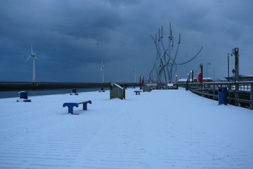
Blyth Harbour

Blyth (7 Pictures)

in the county of Northumberland (10.6 miles, 17.1 km, direction NE)

An attractive old place, with a long seafaring history, the port of Blyth is believed to date back to the 12th-century...

Sun Rise at Seaton Sluice, Tyne & Wear.

Seaton Sluice (9 Pictures)

in the county of Northumberland (10.8 miles, 17.3 km, direction E)

For centuries salt had been panned in the region, at this time the village was known as Hartley Pans, but this appears to have changed following the building of a harbour with a sluice at the harbour mouth...

The Vikings, Jarrow, Tyne & Wear

Jarrow (4 Pictures)

in the county of Tyne & Wear (11.3 miles, 18.2 km, direction SE)

This is the town that is famous for the 1930's "Hunger March" caused by the intense poverty that followed the closing of the Charles Palmer shipyard. The last of the surviving marchers, Cornelius Whalen died in 2003 at the age of 93...
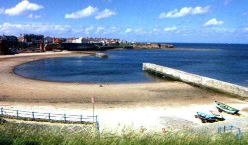
Cullercoats harbour. Tyne & Wear

Cullercoats (4 Pictures)

in the county of Tyne & Wear (12.0 miles, 19.3 km, direction E)

Cullercoats has many pleasing aspects including a picturesque 19th century church in a commanding position close to the shoreline...
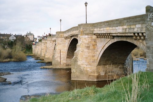
Corbridge Bridge

Corbridge (31 Pictures)

a Picturesque Village in the county of Northumberland (12.2 miles, 19.7 km, direction SW)

Located in Northumberland, Corbridge is a historic market town with Roman connections. It features charming streets, historic buildings, and the Corbridge Roman Town archaeological site...
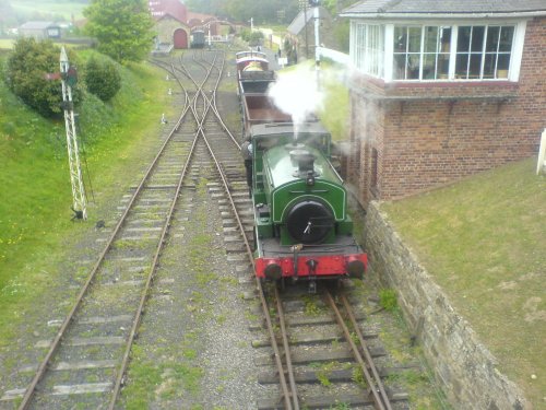
Steam Train 2

Beamish (94 Pictures)

in the county of County Durham (12.7 miles, 20.5 km, direction S)

Beamish is famous for its lovely open-air museum which so vividly brings to life how the folk of the region lived at the turn of the 20th century...
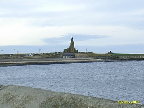
St. Bartholemew's church, Newbiggin-by-the-Sea, Northumberland

Newbiggin-by-the-Sea (4 Pictures)

a Seaside Town in the county of Northumberland (13.0 miles, 20.9 km, direction NE)

The bay is a major attraction, often lively with fishing cobbles and pleasure craft, it is also a haven for sun-bathers...

Victoria viaduct

Washington (267 Pictures)

in the county of Tyne & Wear (13.8 miles, 22.1 km, direction SE)

..

Chollerford Bridge over the North Tyne, Northumberland

Chollerford (26 Pictures)

in the county of Northumberland (15.6 miles, 25.1 km, direction W)

Chollerford is a delightful village destination. It is a popular base for tourists visiting Hadrian's Wall and Chester Fort. The region is also popular with keen fishermen, with.....

The River Tyne at Hexham

Hexham (35 Pictures)

a Historic Market Town in the county of Northumberland (15.7 miles, 25.3 km, direction W)

Historic market town where for centuries the sheep and cattle farmers of Northumberland gathered for the Tuesday market beside Hexham Abbey...
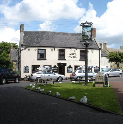
The Grey Horse Pub, Penshaw, County Durham

Penshaw (34 Pictures)

in the county of Tyne & Wear (15.8 miles, 25.5 km, direction SE)

Penshaw lies in open countryside between the urban sprawl of Sunderland and Washington...
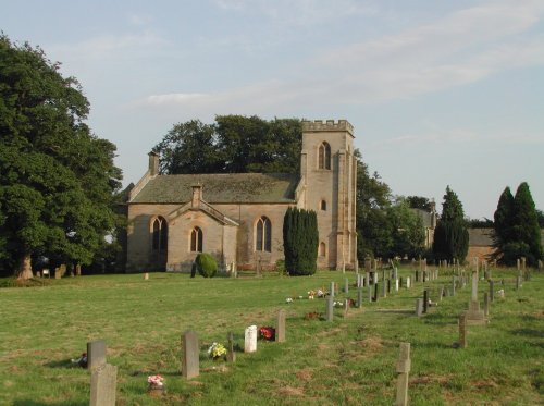
St.Michael's Church in the village of WALL in the county of NORTHUMBERLAND - August 2003

Wall (1 Pictures)

a Picturesque Village in the county of Northumberland (15.9 miles, 25.6 km, direction W)

The village of Wall lies in the high uplands of Northumberland in spacious countryside bordered by the rivers South Tyne and North Tyne, close to Chester's Fort on historic Hadrian's Wall...
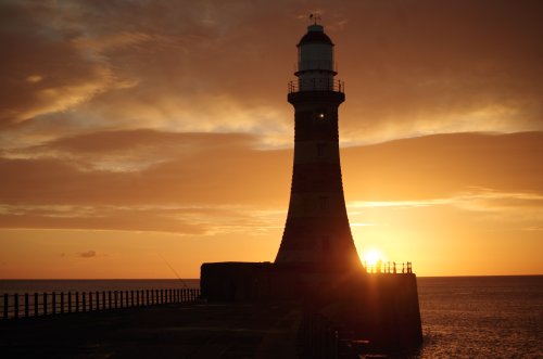
Roker Pier, Sunderland

Sunderland (267 Pictures)

in the county of Tyne & Wear (17.3 miles, 27.8 km, direction SE)

Sunderland was granted a charter in 1145, the charter gave it market rights and thus the town grew slowly from humble beginnings...
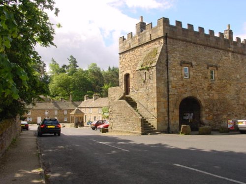
Blanchland, Northumberland

Blanchland (38 Pictures)

a Picturesque Village in the county of Northumberland (18.5 miles, 29.8 km, direction SW)

Blanchland is a small picturesque village nestled beside the river in the Derwent Valley within the North Pennines Area Of Outstanding Natural Beauty. It is surrounded by.....
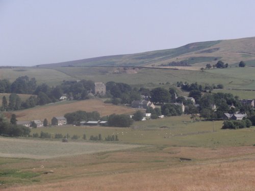
A view of Elsdon village in Northumberland. taken july 2006

Elsdon (2 Pictures)

in the county of Northumberland (19.1 miles, 30.8 km, direction NW)

In this gentle setting the village, with its scattering of 18th-century properties around a picturesque village green, is the perfect example of English village life...
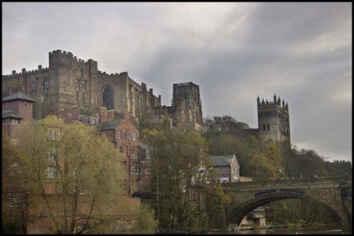
Durham Castle

Durham (419 Pictures)

a Historic City in the county of County Durham (20.0 miles, 32.1 km, direction S)

Durham as a town reflects the long history of its magnificent castle and cathedral with its winding streets, ancient market place and alleyways and other old churches to discover.....
Recommended attractions near Ponteland

Belsay Castle

Belsay Hall & Gardens (119 Pictures)

(5.9 miles, 9.5 km, direction NW)

The dramatic gardens of the Belsay Hall estate are listed Grade I in the Register of Parks and Gardens. They surround a superb.....
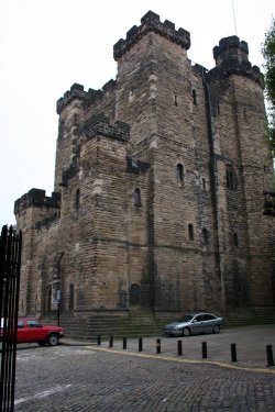
THE KEEP @ NEWCASTLE

The Castle (4 Pictures)

(7.1 miles, 11.5 km, direction SE)

On returning from a raid into Scotland, Robert Curthose, eldest son of William the Conqueror built a castle calling it his `New.....
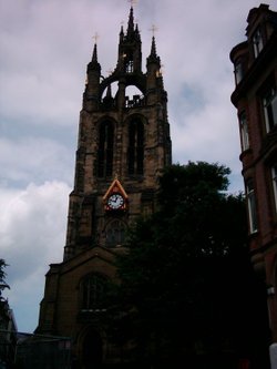
St Nicholas Cathederal, Newcastle upon Tyne

St Nicholas Cathedral (4 Pictures)

(7.5 miles, 12.1 km, direction SE)

The magnificent cathedral church of St. Nicholas has stood at the heart of Newcastle for many centuries. Its superb lantern.....
Bolam Lake, Northumberland

Bolam Lake Country Park (1 Pictures)

(8.0 miles, 12.8 km, direction NW)

Bolam Lake Country Park occupies a lovely landscape amidst rich Northumbrian countryside. It has lovely watery areas enriched.....
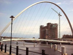
Baltic Centre Art Gallery, Newcastle upon Tyne

Baltic Centre (3 Pictures)

(8.1 miles, 13.0 km, direction SE)

The Baltic Centre is a new £46m art gallery on the banks of the Tyne and is the latest evidence of the area's growing cultural.....
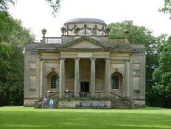
Gibside Chapel, National trust garden - Rowlands Gill, Burnopfield, Newcastle upon Tyne NE16 6BG

Gibside (42 Pictures)

(8.9 miles, 14.4 km, direction S)

Gibside is famous for the sedate historic estate set at the heart of the outstandingly beautiful Derwent Valley. The estate was.....
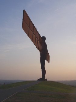
Angel Of The North at Gateshead

Angel of the North (42 Pictures)

(9.5 miles, 15.3 km, direction SE)

Britain's largest sculpture, The Angel of the North weighs in at 208 tonnes and stands 20 metres high. It was based on artist.....
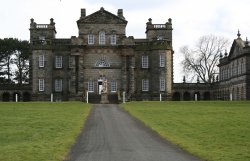
Seaton Delaval Hall in Northumberland

Seaton Delaval Hall (5 Pictures)

(10.2 miles, 16.4 km, direction E)

This house with its beautiful baroque work and wonderful ionic columns is the work of a man who was both inventive playwright and.....
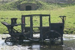
Watch out for Red Indians

Beamish Open Air Museum (218 Pictures)

(12.0 miles, 19.2 km, direction S)

Beamish Museum lies in a basin of stunning countryside covering over three hundred acres. This is no ordinary museum, but an.....
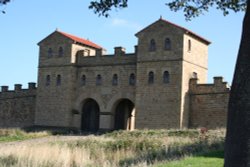
Arbeia Roman Fort at the Lawe Top in South Shields

Arbeia Roman Fort (4 Pictures)

(12.6 miles, 20.3 km, direction E)

..

Tynemouth Priory, Tynemouth

Tynemouth Priory (13 Pictures)

(12.7 miles, 20.5 km, direction E)

..

Tynemouth Castle, England

Tynemouth Castle (9 Pictures)

(12.7 miles, 20.5 km, direction E)

The haunting, intermingaled ruins of Tynemouth Castle and Priory stand on a headland above the River Tyne. Between them they.....
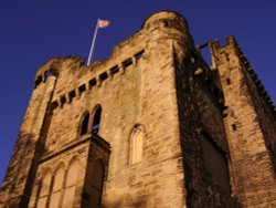
Hylton Castle, Sunderland, tyne & WEAR

Hylton Castle (15 Pictures)

(15.0 miles, 24.1 km, direction SE)

..

A picture of Tyne Green Country Park

Tyne Green Country Park (1 Pictures)

(15.1 miles, 24.2 km, direction W)

..

Hexham Abbey, Northumberland

Hexham Abbey (10 Pictures)

(15.4 miles, 24.8 km, direction W)

Hexham Abbey is a refoundation of a church which stood on this spot in the year 675, it survived until 821, later the town was.....

Lumley Castle, Chester-le-Street, County Durham

Lumley Castle (8 Pictures)

(15.4 miles, 24.8 km, direction SE)

..

The River North Tyne

Chesters Roman Fort (Cilvrnvm) (71 Pictures)

(16.3 miles, 26.2 km, direction W)

..

Mowbray Park, Sunderland

Mowbray Park (6 Pictures)

(17.5 miles, 28.1 km, direction SE)

..

Lordenshaw, near Rothbury, Northumberland, England

Lordenshaw (2 Pictures)

(17.9 miles, 28.8 km, direction NW)

Ancient cup-and-ring marked outcrop and Iron Age hillfort in Northumberland National Park..
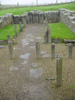
Mithraeum temple near Brocolitia roman fort Milecastle

Carrawburgh Roman Fort (Brocolitia) (2 Pictures)

(18.6 miles, 29.9 km, direction W)

..


All attractions in Ponteland
All attractions in Northumberland