Please login or click here to join.
Forgot Password? Click Here to reset pasword

Three miles of golden sands backed by impressive sand dunes have made Hayle a perfect summer place for families to enjoy a holiday. It is an old town, made prosperous in the 18th-century when John Harvey opened his tin, copper and foundry business..

The estuary on which the pretty holiday resort of Lelant stands is a paradise for bird watchers, it is also an old village with a long maritime history...
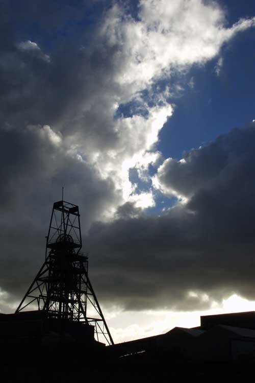
..
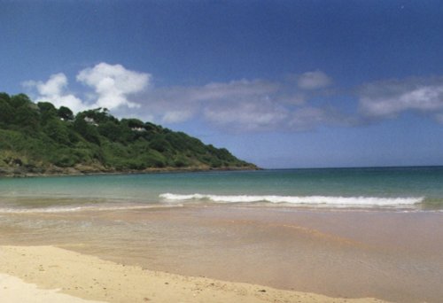
Carbis, is a deeply curving, sheltered bay of soft golden sand that makes it a haven for sea-bathing...
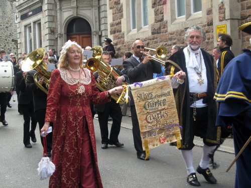
There is a magical quality surrounding the whole of the Cornish coast of which St.Ives is a small but special part...
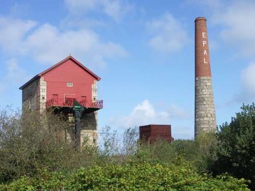
Pool is situated between Cambourne and Redruth in an area that was once the centre of Cornwall's prosperous tin mining industry...
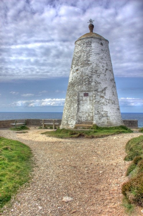
Portreath lies on Cornwall's magnificent North-western coast, it occupies a picture-postcard valley setting of woods, streams and fine rural meadow-land, with its crowning glory being the beach lying beneath rugged cliffs topped with springy turf and heathers...

Redruth was formerly the capital of the largest and richest metal mining area in Britain. ..
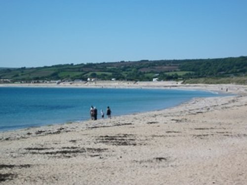
The picturesque village of Marazion with its quaint cottages, shops and pubs, is in a sublime position on the west Cornwall peninsula..

This hauntingly beautiful village stands starkly above cliifs that in parts are over 300ft above the sea...
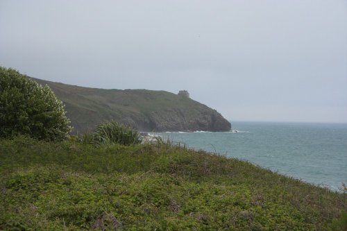
Magnificent gorse covered acres form a superb back drop to a seemingly endless stretch of golden sands which continues to draw countless visitors to Praa Sands...

..

Porthleven has two picturesque harbours - the inner harbour is lined with dazzling white cottages, with the walls of the outer harbour giving shelter from the often tumultuous seas...
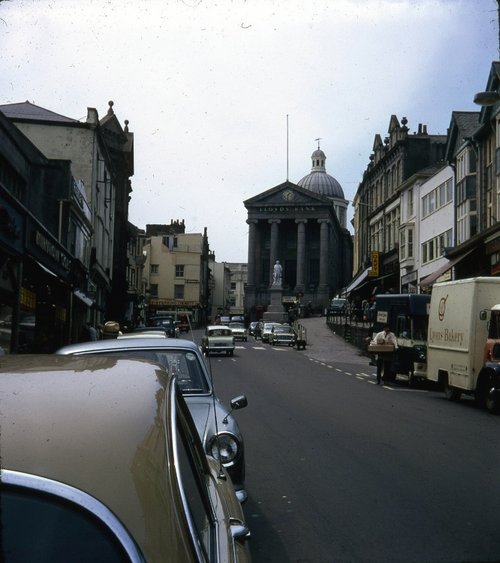
A jolly town with a year round holiday atmosphere, where everyone is made to feel welcome...

The beautiful church dedicated to St.Maddern is the focal point of the village. Interestingly, it was once the village church for Penzance, and its name from the saint for whom.....

Once one of the centers of the cornish tin mining industry, St Agnes is steeped in mining history, with many old engine houses to be seen around the area. The tin from St Agnes is.....
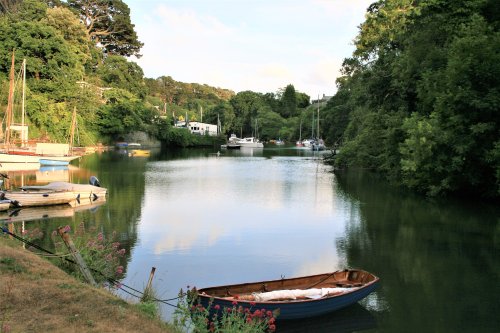
Gweek existed as a thriving port for several hundred years, this fact is evidenced by the Old quays...

Lovely coastal region lying at the mouth of Trevellas Coombe, a steep valley with stone built tall chimneys and the shell of a derelict engine house still standing as evocative reminders of the old Blue Hills Tin Mine...
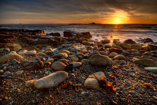
This delightful coastal village, with its wealth of history, lovely old harbour and beautiful headland walks, makes an interesting base for exploring the superb scenery of Mount's Bay and Land's End...

In this fascinating area of old Cornish Tin Mines, Pendeen Lighthouse, built in 1900 to guide shipping off the coast between Cape Cornwall and Gunard's Head, makes a striking feature...

This hauntingly beautiful spot was initially made famous by centuries of shipwreck caused by perilous rocks scattered around its.....
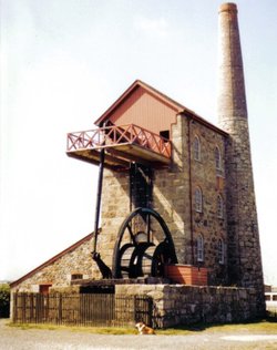
This museum set on lonely cliffs far above the swirling Atlantic Ocean is where visitors to the area can learn all about.....
..
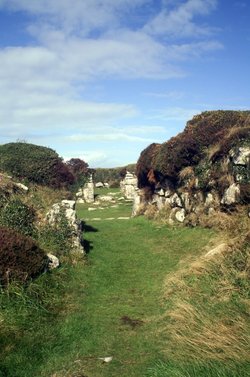
This is a classic prehistoric site, quite possibly a Celtic settlement occupied almost two thousand years ago. In its wild.....
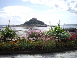
The priory on St.Michael's mount is dedicated to the Archangel who is believed to have appeared to local fishermen in AD 495. The.....
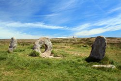
The Men-an-Tol is a massive round holed stone standing between two uprights. It quite probably dates from the Bronze-Age and may.....
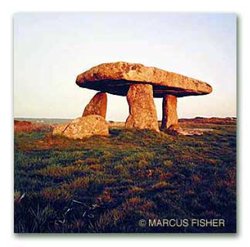
In this moorland area thick with pre-historic remains, this is the most accessible and without doubt the most famous of all the.....

The Seal Sanctuary was set up in 1958 in the small village of St Agnes, in 1974 we moved to Gweek after we needed more space for.....

..
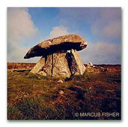
This is the smallest of the areas famous cromlech's, it is also the only one never to have been dislodged. It stands close to.....
..

..
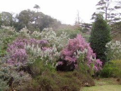
These beautiful gardens are set on a rising landscape at the side of the Helford River. The gardens, mainly full of exotic trees.....

Trebah Garden occupys one of Cornwall's most dramatic landscapes, set into a beautiful wooded ravine descending towards a private.....

Clinging to the wild Cornish coast topping the cliffs above Pendeen lies the restored buildings of Levant Mine with its steam.....
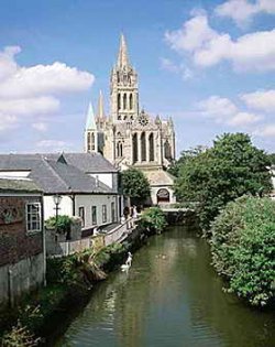
A former 16th-century parish church once stood on the site of this sumptuous cathedral, which was designed by John Loughborough.....
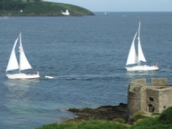
Built at the side of a naturally deep harbour Pendennis Castle forms one of Henry VIII's coastal defences, built to guard against.....

Britain's only 'Cape' provides a fascinating contrast to the packed beaches of Whitesand Bay and to its well publicised neighbour.....
..
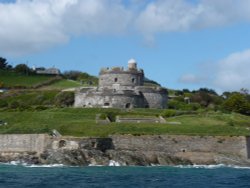
Built by Henry VIII between 1540-45 due to the threat of invasion from Catholic France and Spain. Built as one of a pair, their.....