Please login or click here to join.
Forgot Password? Click Here to reset pasword
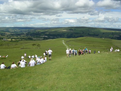
This is a lovely village lying on the edge of the North Pennines in an area of great scenic beauty. It is a wild and beautiful landscape dotted only by scattered farms with meadows full of grazing sheep and cattle...
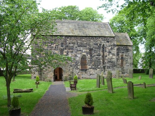
Lying in a prominent position ringed by the River Wear, Escomb is best known for its magnificent Saxon Church reputed to be built from stones brought from the near-by ruined Roman Fort at Binchester...
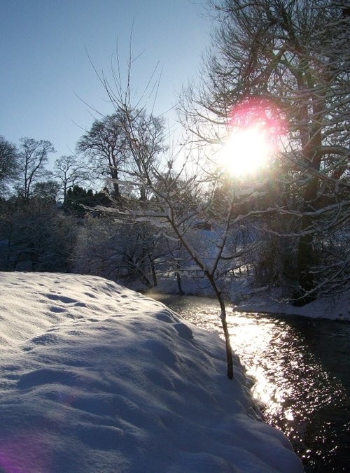
This was the busy social and commercial centre of the south-west Durham coalfield, but the town is actually much older than the Industrial Revolution, although that historic.....
..

This is a lovely, bustling little town is set amidst the charm of Weardale, it is almost entirely built of stone particularly around the old Market Square, dominated by a fine stone cross...
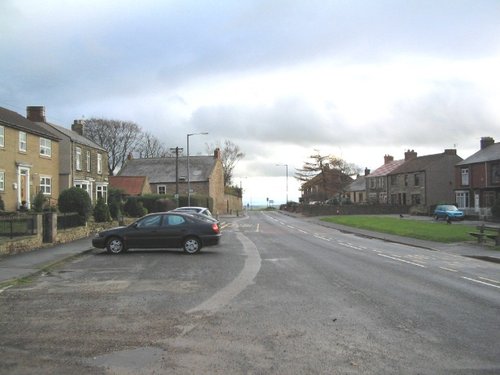
Kirk Merrington is a pretty, hilltop village overlooking the Wear Valley and the Cleveland Hills...

Long before Spennymoor ever existed there was... Spenny Moor. Spenny Moor was a vast area of common land, and we are indebted to noted historian and antiquarian Robert Surtees.....
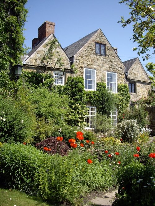
Durham as a town reflects the long history of its magnificent castle and cathedral with its winding streets, ancient market place and alleyways and other old churches to discover.....
..
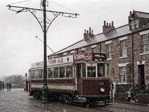
Beamish is famous for its lovely open-air museum which so vividly brings to life how the folk of the region lived at the turn of the 20th century...
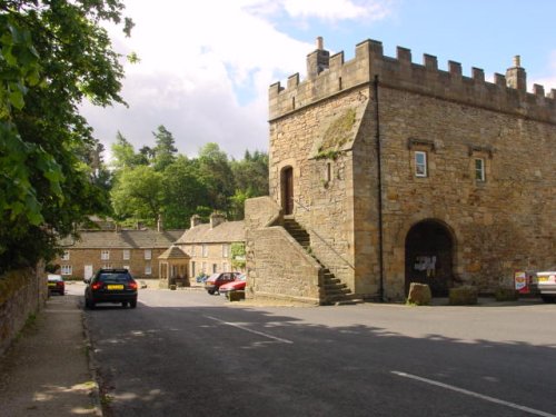
Blanchland is a small picturesque village nestled beside the river in the Derwent Valley within the North Pennines Area Of Outstanding Natural Beauty. It is surrounded by.....
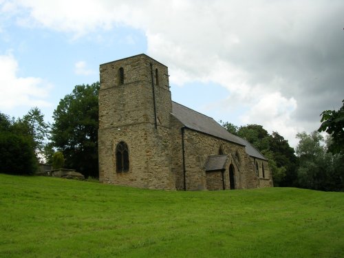
Kelloe has pleasant riverside areas and is in close proximity to historic Hartlepool Quay and the seaside resort town of Peterlee on England's northern coast...
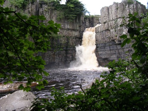
It's landscape, possessed of a wild untamed beauty, highlighted by the meandering River Tees, has a few ancient farmhouses and old stone cottages...

Darlington, bustling though it is today was once a small Saxon settlement, this flourished as evidenced by the beautiful building of the church dedicated to Saint Cuthbert which lies at the heart of the town...
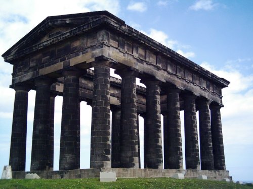
Penshaw lies in open countryside between the urban sprawl of Sunderland and Washington...

..

The urban sprawl of Gateshead rises majestically skywards in a seemingly endless mixture of concrete and glass. Gateshead stretches for almost 13 miles along the banks of the River Tyne...
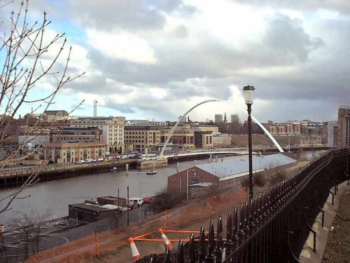
This important City was known as Pons Aelii in Roman times; the Romans built the first bridge over the River Tyne, it was guarded by a Roman fort which was replaced by a castle.....

Located in Northumberland, Corbridge is a historic market town with Roman connections. It features charming streets, historic buildings, and the Corbridge Roman Town archaeological site...
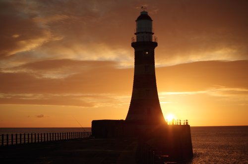
Sunderland was granted a charter in 1145, the charter gave it market rights and thus the town grew slowly from humble beginnings...
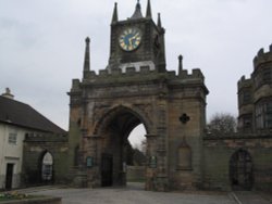
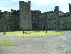
With its grand arch, Auckland Castle, also known as Auckland Palace or the Bishop's Castle, is the official residence of the.....
..

Hampsterley Forest encompasses over five thousand acres, it is a combination of parkland and forest, giving access to some of the.....
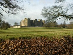
Arriving close to Staindrop from almost any direction the view of Raby Castle, built by the powerful Nevill family in the.....
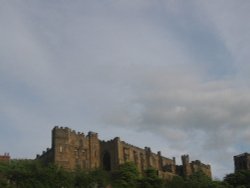
Durham Castle is another one of Durham's magnificent buildings. It was founded in 1072 and such was the impregnability of the.....
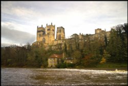
One of the finest buildings in the world. This huge cathedral which is third only to Canterbury and York in ecclesiastical.....
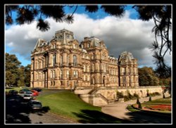
Josephine Bowes, wife of John Bowes was a Parisian actress, and perhaps this shows in the choice of building they chose as a.....
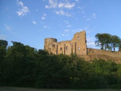
This historic town is a picturesque centre for discovering the delights of Teesdale. The town occupies a clifftop site above.....
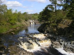
..
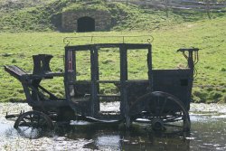
Beamish Museum lies in a basin of stunning countryside covering over three hundred acres. This is no ordinary museum, but an.....
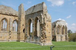
..
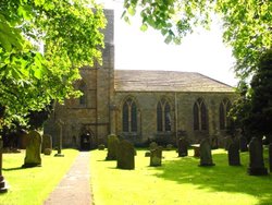
Blanchland Abbey was founded as a priory in 1165 by Walter de Bolbec II, and became an abbey in the late 13th century. The.....
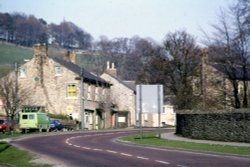
This lovely scenic valley lies between the town of Bishop Auckland, seat of princes of the church and the charming market town of.....

..
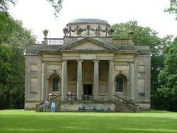
Gibside is famous for the sedate historic estate set at the heart of the outstandingly beautiful Derwent Valley. The estate was.....

This is the Tees most spectacular offering, it is also England's highest waterfall. The best time to see High Force is just.....

Britain's largest sculpture, The Angel of the North weighs in at 208 tonnes and stands 20 metres high. It was based on artist.....
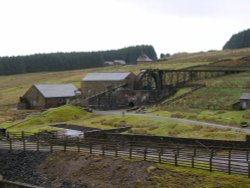
Killhope Lead Mining Museum keeps alive the counties lead mining traditions. This is a fully restored site of a working mine.....
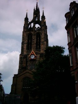
The magnificent cathedral church of St. Nicholas has stood at the heart of Newcastle for many centuries. Its superb lantern.....
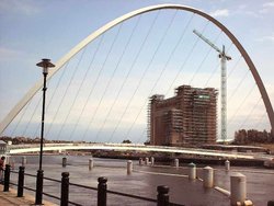
The Baltic Centre is a new £46m art gallery on the banks of the Tyne and is the latest evidence of the area's growing cultural.....