Please login or click here to join.
Forgot Password? Click Here to reset pasword
If you would like to add a description of Betteshanger, please use our Betteshanger forum here. To upload your Betteshanger photography and create your very own 'Pictures of England Gallery', click here or here to join the site and become part of the Pictures of England community, or simply see below for nearby recommended towns, attractions, and Betteshanger accommodation.
The white cliffs of Dover, the view that has stirred the hearts of English travellers for centuries...
Ramsgate's harbour is constantly busy, this is known as a "Royal" harbour, made so by the landing here of King George IV in 1822...
At almost every corner of this popular resort are reminders of the towns association with the famous novelist, Charles Dickens...
Canterbury is an exquisite joyous place, it is submerged in history and is considered to be the birthplace of English Christianity. It glows with an abundance of charm, mostly.....
Traditional seaside resort which is famous for the invention of the covered bathing machine...
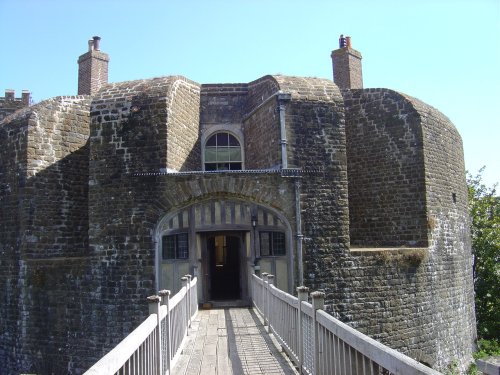
The stone walls of Walmer Castle were put up in the 1530's at the same time as Sandown and Deal as part of a plan by the monarch.....

..
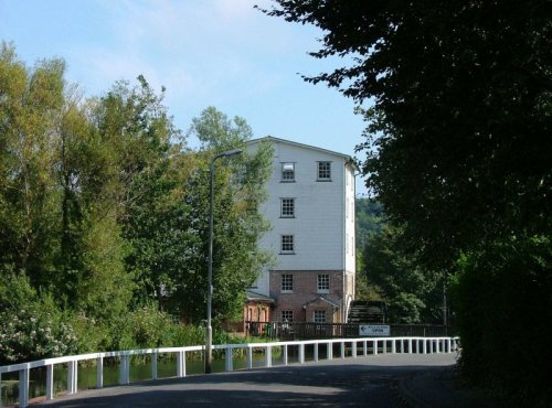
The current mill, built in 1812, is situated in the picturesque village of River, on the outskirts of Dover. There have been.....

Dover Castle is a medieval castle that was founded in the 11th century and is the largest castle in England, often being.....
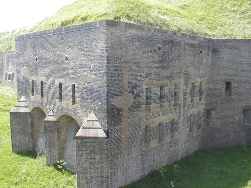
The Western Heights in Dover are remains of fortifications built mainly during the Napoleonic Wars when England was under a real.....
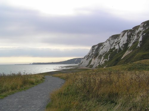
The newest part of Kent, made from 4.9 million cubic metres of chalk marl dug to create the Channel Tunnel. Samphire Hoe was.....
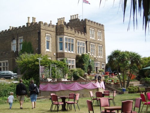
Bleak House, named after the novel is where Charles Dickens lived while he was writing David Copperfield and other of his works......